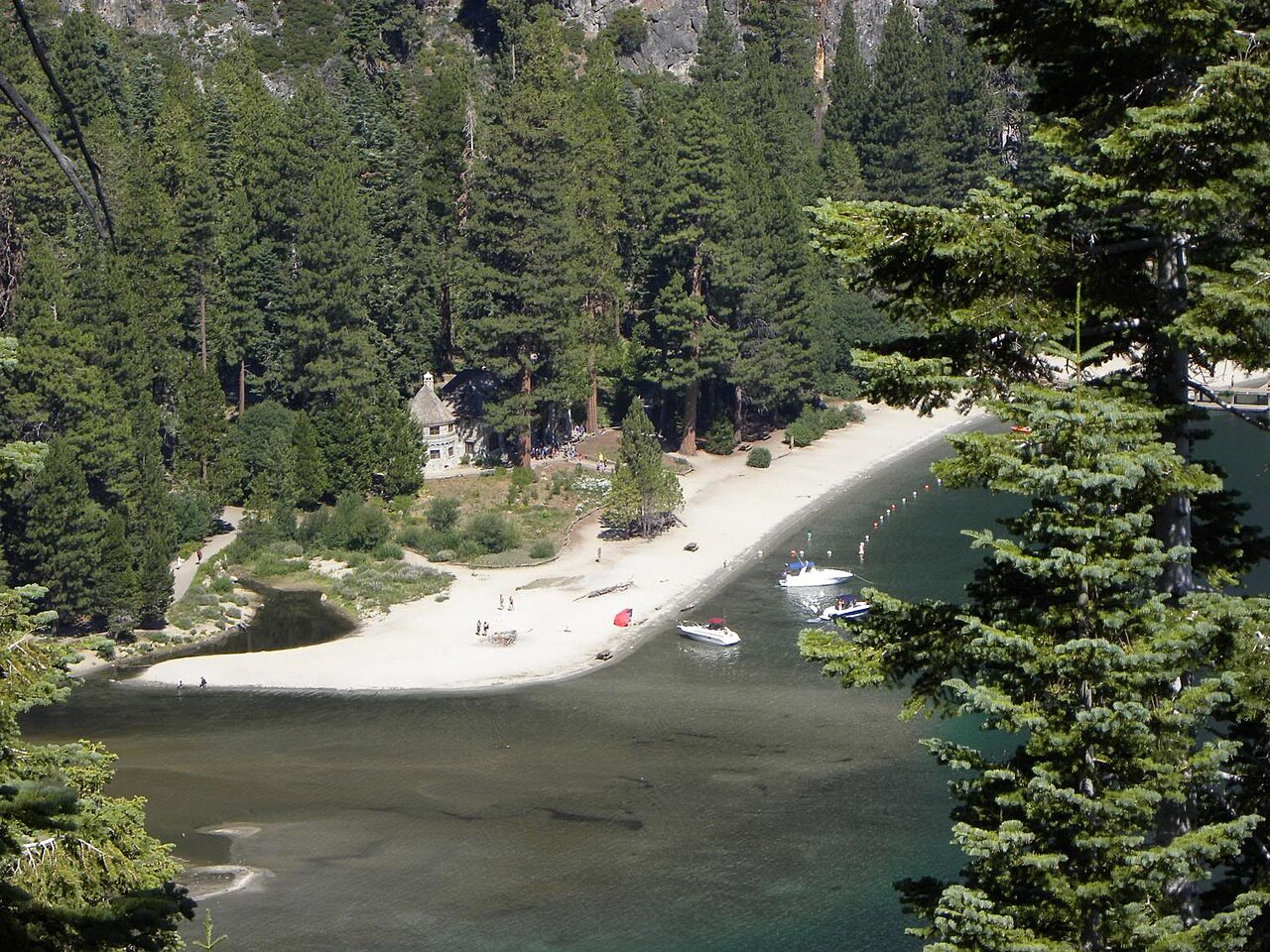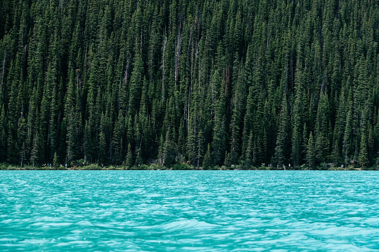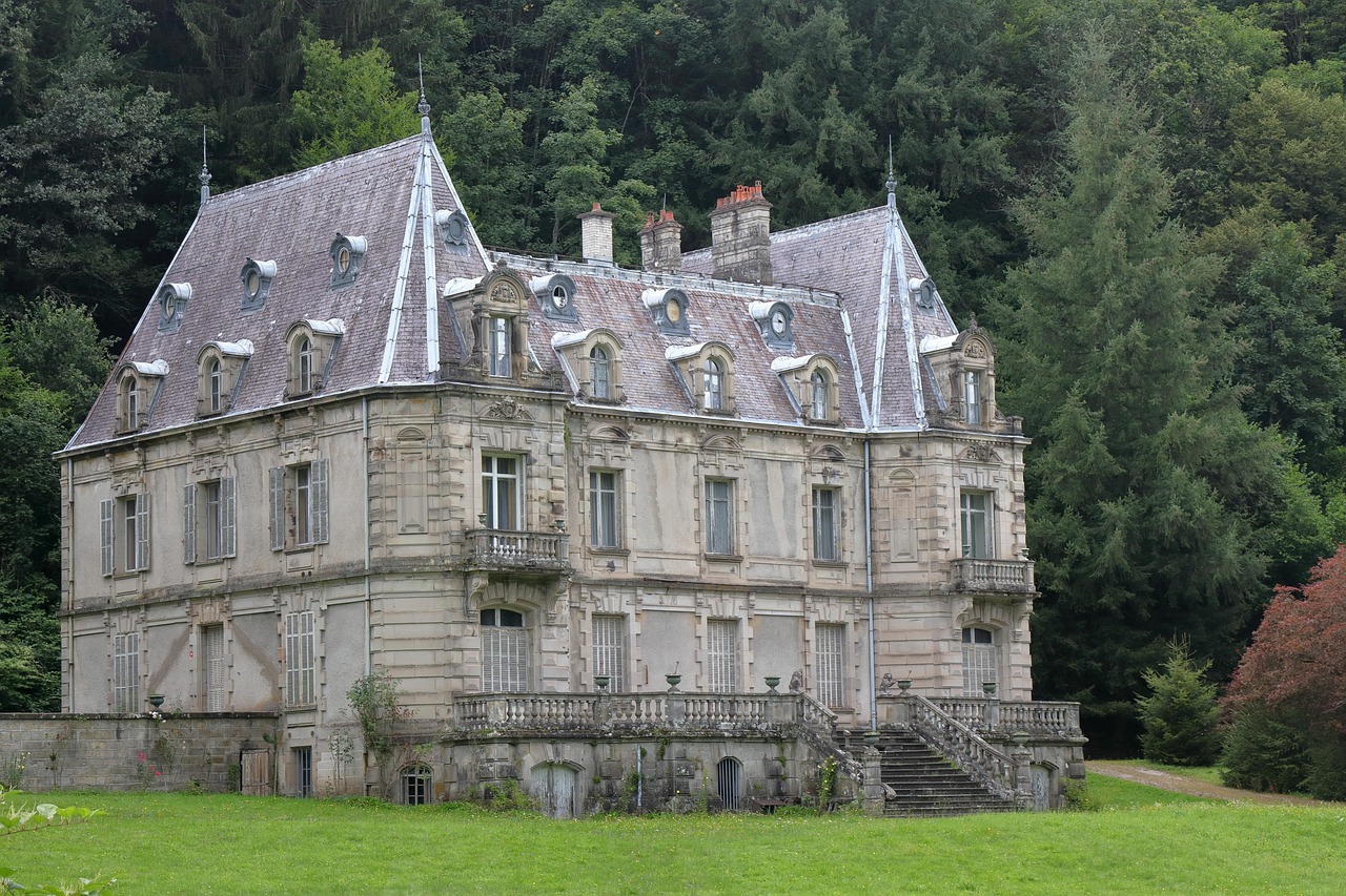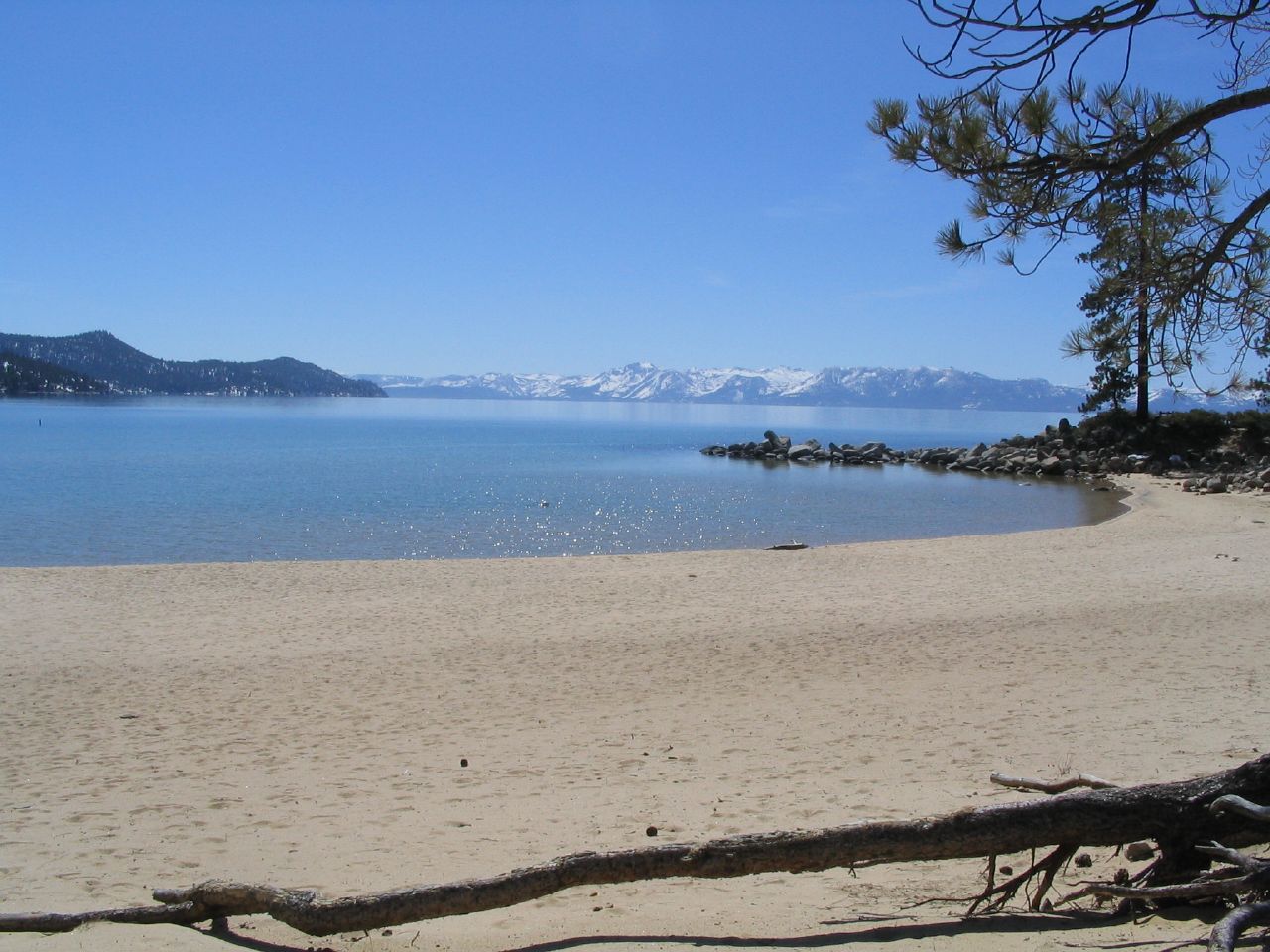
The Rubicon Trail is the hike that shows Lake Tahoe at its clearest. It runs along the West Shore from D.L. Bliss State Park around Rubicon Point to Emerald Bay, about seven miles one way on a path cut into granite slopes high above the water. In many places you look straight down through 30 or 40 feet of water so clear you can see boulders on the bottom, and the color shifts from turquoise near shore to deep blue farther out. Along the way are a tiny wooden lighthouse on Rubicon Point (a short side trail leads to it), small coves you can climb down to, and views across the lake to the Nevada shore. Toward the south end, the trail rounds Emerald Point into Emerald Bay and finishes near Vikingsholm, so hikers who arrange a car shuttle can walk one way and visit the mansion at the end. Most people do an out-and-back from D.L. Bliss, going as far as their legs want, since the first mile or two from Calawee Cove has the best scenery. D.L. Bliss State Park itself has two of Tahoe's best small beaches, Lester and Calawee Cove, plus the Balancing Rock nature trail. The seasons are the main thing to plan around. From October 1 the park gate closes to vehicles, so hikers must park at the closed visitor center lot off Highway 89 and walk about a mile to the nearest trailhead (it is about two miles, and steep, to the beaches), with no restrooms or water. Winter storms can close Highway 89 around Emerald Bay, sometimes for days. In summer the trail is busy and parking in the park fills early. There is a vehicle day-use fee in season. Dogs, bikes, camping and fires are not allowed on the trail. It suits fit first-time visitors, couples, photographers and families with older children who are steady on narrow paths with drop-offs.
The geography is the attraction. The West Shore here is a steep granite wall, and the trail traces a ledge partway up it, which is why it looks down into the water instead of along it. The lighthouse on Rubicon Point, built in the early 1900s and now restored, is one of the most photographed small structures on the lake.
Past the point, the trail turns into Emerald Bay and passes small coves and Emerald Point before reaching the boat camp and Vikingsholm. Hiking the full route one way with a shuttle is the classic version. An out-and-back to the lighthouse or the first coves from Calawee Cove is the easy version.
How to do it well
In summer, arrive early, because the D.L. Bliss lots fill quickly, and plan an out-and-back from Calawee Cove. In the off-season (from October 1), the gate is closed to cars. Park at the visitor center lot on Highway 89, carry water and food, and allow extra time for the walk in.
In any season, check Caltrans before driving Highway 89 around Emerald Bay, because storms and avalanche danger close it. Wear shoes with good grip, keep children close where the trail runs along the cliffs, and leave dogs at home. Swimming from the coves in summer is cold but memorable.
Practicals and fit
D.L. Bliss State Park is on Highway 89 about 10 miles north of South Lake Tahoe's Y and just north of Emerald Bay. There is a vehicle day-use fee in season, and walk-in access in the off-season. Plan two to five hours, depending on how far you go. Best for fit first-time visitors, couples, photographers and families with older children.
What to expect
The experience
A shoreline trail along granite ledges from D.L. Bliss State Park around Rubicon Point into Emerald Bay, about seven miles one way, with coves, a historic lighthouse, and beaches at the park.
Best time
Early summer mornings before the lots fill; September for warm days and fewer people. From October 1 the park is walk-in only.
How long
Two hours for an out-and-back to the lighthouse and coves; four to five hours for the full trail with a shuttle.
Tips
Check Caltrans for Highway 89 at Emerald Bay. In the off-season, park at the visitor center lot and carry water. No dogs or bikes. Keep children close on the cliff sections.
Quick picks
- Best for
- Seeing Tahoe's clearest water from above: the best shoreline hike on the lake.
- Families
- Older kids who are steady on narrow paths will love the coves; younger ones do better at Lester Beach.
- Couples
- An early hike to the lighthouse and a swim in a quiet cove.
- Pair with
- Vikingsholm and Emerald Bay at the south end, or Sugar Pine Point to the north.
- Time needed
- Two to five hours.
Good questions
How long is the Rubicon Trail?+
About seven miles one way from D.L. Bliss State Park to Emerald Bay. Most hikers do a shorter out-and-back from Calawee Cove to the lighthouse and the first coves.
Is D.L. Bliss State Park open?+
It reopened in May 2026 after infrastructure work. From October 1 the gate is closed to vehicles, so access is on foot from the visitor center lot on Highway 89.
Can I bring my dog?+
No. Dogs, bicycles, camping and fires are not allowed on the Rubicon Trail.
Is it safe for kids?+
For older kids who are steady on their feet, yes, but sections run along steep drop-offs. Keep young children close or stay on the beaches.
Can I hike it in winter?+
Sometimes, but Highway 89 around Emerald Bay closes during storms and avalanche danger, there are no services, and the trail can be icy. Check Caltrans and the park page first.