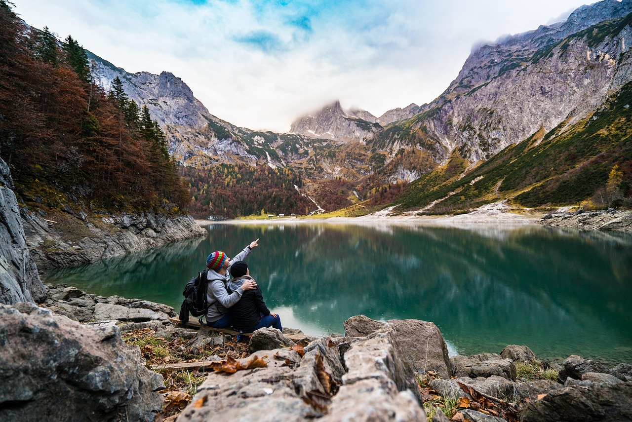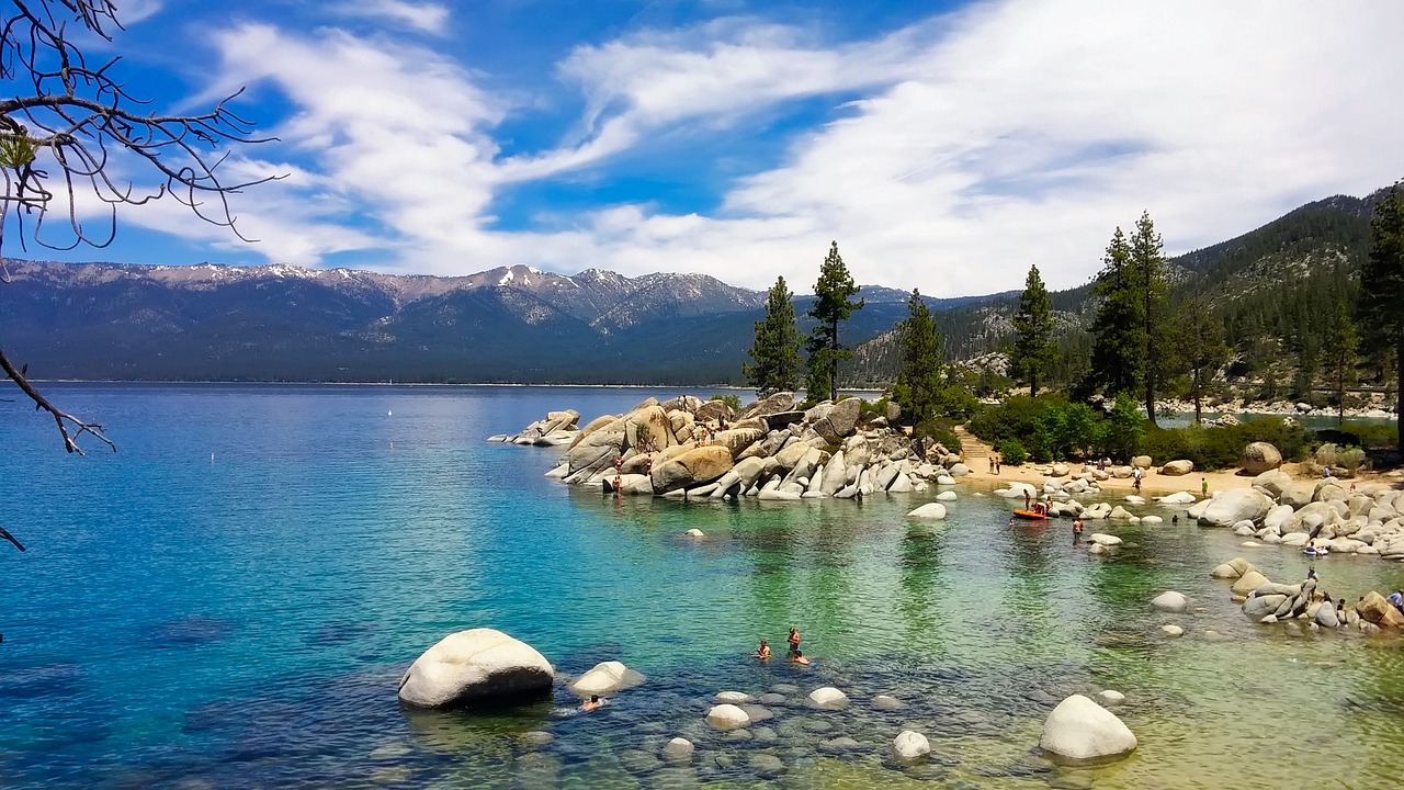
The Tahoe Rim Trail is the long trail that circles the lake. It follows the ridgelines around the Tahoe Basin for more than 165 miles, crossing two states, six counties, four national forests, three wilderness areas and a state park, and about 50 miles of it share the route of the Pacific Crest Trail on the west side. Thru-hikers take a couple of weeks to walk the whole loop. Most visitors hike day segments, because almost any section gives big views with a reasonable effort. Good starting points on the Nevada side include the Tahoe Meadows trailhead on the Mount Rose Highway, where a short, flat interpretive loop and the longer section toward Brockway Summit pass wildflower meadows, and Spooner Summit, where the trail climbs toward Snow Valley Peak with views over the East Shore. On the South Shore, the Kingsbury Grade trailheads and the connector from Van Sickle Bi-State Park lead to sweeping views over the lake and the Carson Valley. On the west side, the shared Pacific Crest Trail sections pass through the granite lakes of the Desolation Wilderness, where overnight permits are required. The trail is free to hike. It is open to hikers and horseback riders throughout, and to mountain bikers on most sections, though some sections are closed to bikes and some allow bikes only on alternate days. The Tahoe Rim Trail Association, a nonprofit, maintains the trail and posts current conditions, closures and permit information. Snow covers much of the trail from roughly November through June, depending on the year, so most hiking happens from July through October, while lower sections near trailheads can be used for snowshoeing in winter. Expect high elevation, long stretches without water, and afternoon thunderstorms in summer. It suits fit hikers, mountain bikers, backpackers, and anyone who wants a big-view day hike.
The trail was built mostly by volunteers over decades and completed in 2001, and the Tahoe Rim Trail Association still organizes volunteer crews that maintain it. The association also manages about 30 miles of side and connector trails. The variety along the loop is part of its appeal: wildflower meadows near Mount Rose, open granite ridges above the East Shore, dense forests on the north side, and the granite lakes of Desolation Wilderness on the west.
How to do it well
For a first visit, choose one section based on where you are staying. From Incline Village, start at Tahoe Meadows on the Mount Rose Highway. From Stateline, use the Van Sickle connector or the Kingsbury trailheads. From the East Shore, start at Spooner Summit. Carry more water than you think you need, start early to avoid afternoon storms, and check the association's current trail conditions page for closures and bike rules. For backpacking in Desolation Wilderness, get a permit in advance.
Practicals and fit
Dozens of trailheads around the basin; no fee to hike. The main season runs July through October, with lower sections usable for snowshoeing in winter. Plan two hours to a full day for a day section, and about two weeks for the full loop. Best for hikers, mountain bikers, backpackers and outdoors-focused couples.
What to expect
The experience
A 165-plus-mile trail around the ridges of the Tahoe Basin, with dozens of trailheads for day hikes, sections open to mountain biking and horseback riding, and backpacking through wilderness areas.
Best time
July through October, after the snow melts; early mornings, before summer thunderstorms.
How long
Two hours to a full day for a section; about two weeks for the whole loop.
Tips
Pick a section near where you are staying. Carry plenty of water. Check the association's trail conditions page for closures and bike rules. Desolation Wilderness overnight trips require permits.
Quick picks
- Best for
- Big lake views from the ridges, on whatever section fits your day.
- Families
- The flat Tahoe Meadows interpretive loop near Mount Rose works well for children.
- Couples
- An early ridge hike with a picnic and a view over the whole lake.
- Pair with
- Van Sickle Bi-State Park on the South Shore, or Spooner Lake on the East Shore.
- Time needed
- Two hours to a full day for a section.
Good questions
How long is the Tahoe Rim Trail?+
More than 165 miles around the Tahoe Basin. Most thru-hikers take about two weeks, and most visitors hike one day section.
Where should I start a day hike?+
Tahoe Meadows on the Mount Rose Highway for the North Shore, Spooner Summit for the East Shore, and the Van Sickle connector or Kingsbury trailheads for the South Shore.
Can I mountain bike on it?+
On most sections, yes. Some sections are closed to bikes and some allow bikes only on alternate days, so check the current rules before you ride.
Do I need a permit?+
Day hiking is free and needs no permit on most sections. Overnight trips through Desolation Wilderness require a wilderness permit.
When is the trail snow-free?+
Usually from about July through October, depending on the winter. Lower sections near trailheads can be snowshoed in winter.