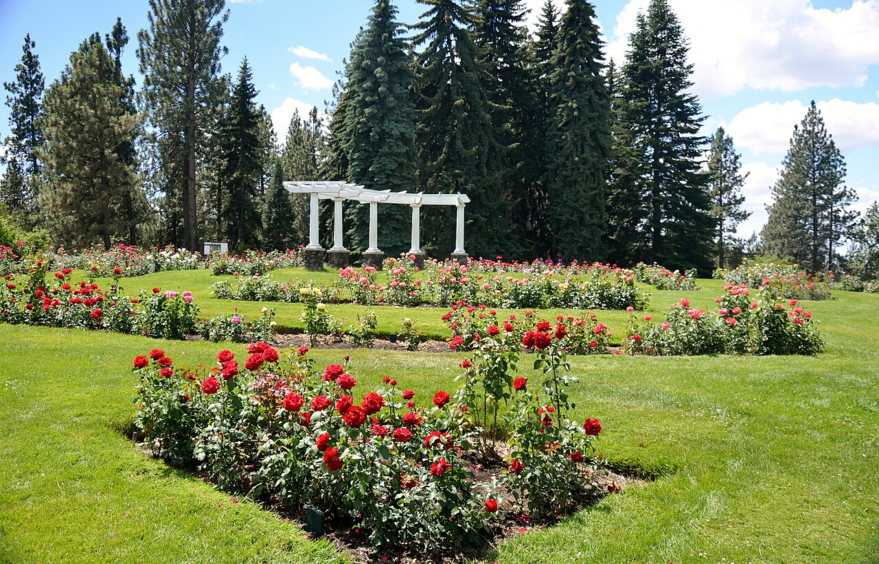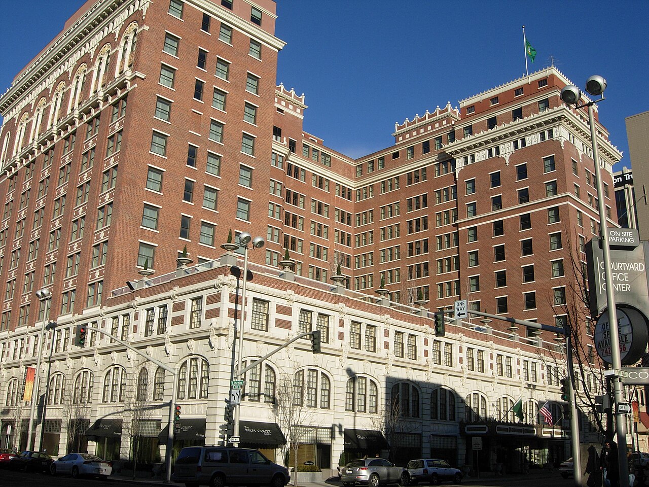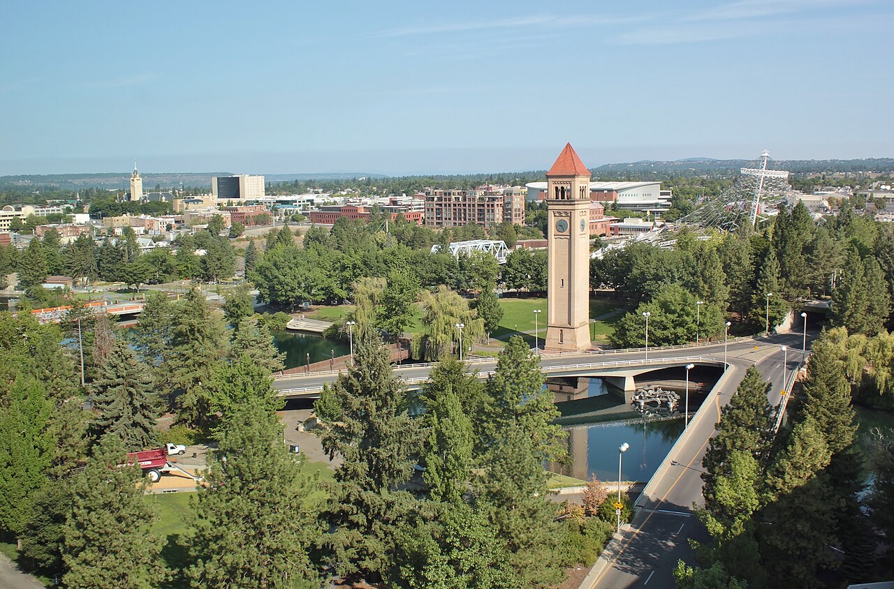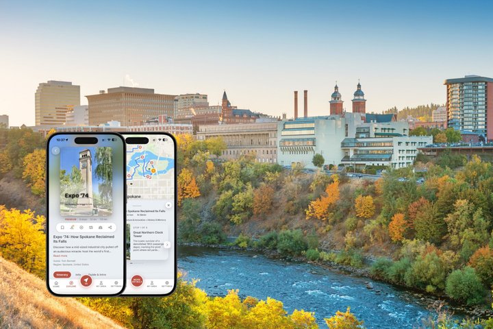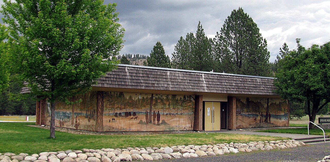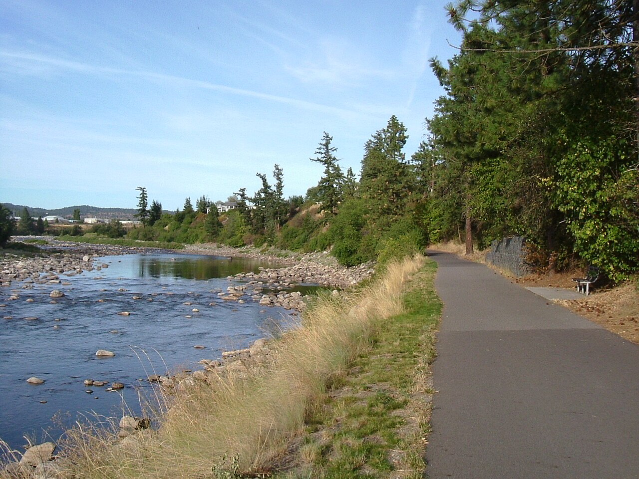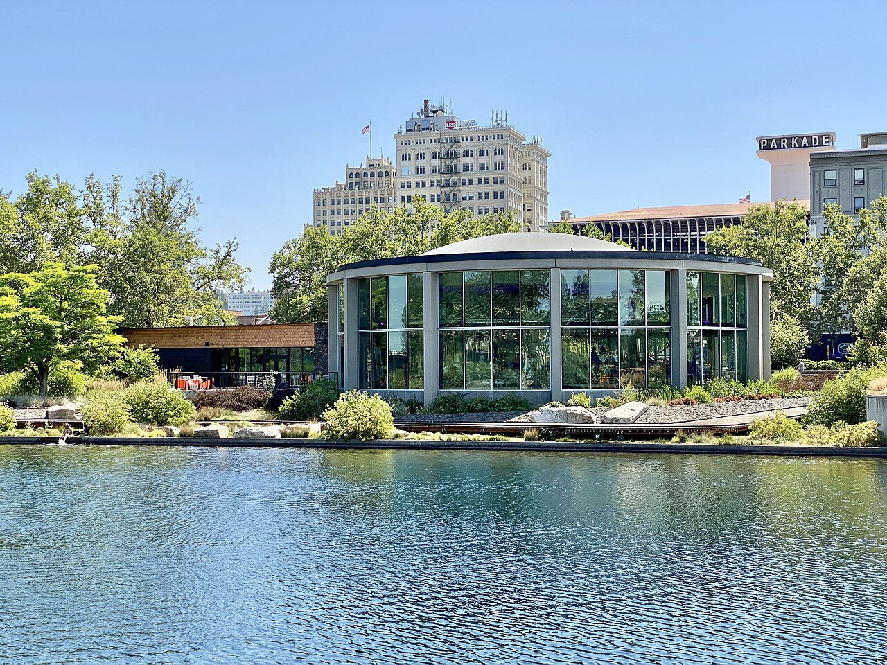
Spokane is a spread-out city of distinct neighborhoods, and the tourism board publishes a self-guided city drive map that links its best sights in a sensible loop. The route passes historic districts, scenic overlooks, parks and landmarks, giving you a good feel for how the city is laid out before you decide where to spend your time. It is free, flexible and well suited to travelers who want to see a lot without joining a group tour. What you can expect on a drive like this: elegant old mansions in Browne's Addition, the leafy streets of the South Hill with views toward downtown, the river and its bridges, and neighborhoods that show different faces of the city. You can stop wherever you like, whether for a photo at a viewpoint, a stroll in a park or lunch in a neighborhood cafe. The map highlights points of interest and helps you build a route that suits your timing.
A simple plan is to start downtown, drive west to Browne's Addition for the architecture and the museum, then climb to the South Hill for park views and a pause at Manito Park. Along the way, watch for the Monroe Street Bridge, the old Garland district and viewpoints that open up toward the Spokane Valley. Because it is self-guided, you set the pace: half a day covers the highlights, and a full day lets you add stops for meals and walks.
Practical tips
Download the map before you go, use a navigation app for turn-by-turn directions and watch for one-way streets downtown. Parking is generally easy in neighborhoods, but some areas have time limits. The tour is a good rainy-day plan from the comfort of a car, and a good first-day orientation on arrival. It suits families with young children who need a break from walking, older travelers who prefer to see sights from the car and couples who like a leisurely drive.
If you have no car, a rideshare or a guided tour is an alternative. Once you have your bearings, use the rest of your trip to walk the places that caught your eye: the falls, the park and the gardens.
Add a few extra stops if time allows: a coffee shop in a neighborhood you like, a view from a hilltop park, or a quick stroll along the river near the Monroe Street Bridge. Keep a paper map or offline route as a backup. Drive courteously in residential streets, observe parking signs and take photos from safe pull-outs. Finish with dinner in the neighborhood that felt best, since a good city drive often tells you where you want to return on foot.
Bring a small cooler with water and snacks, charge your phone, and consider a reusable shopping bag if you pick up local treats along the route. The loop is also a good way to scout restaurants and neighborhoods for later in your trip, and to notice which areas feel like home base for your hotel choice. Finally, treat the map as a menu rather than a checklist: choose the four or five stops that appeal most, enjoy them properly and skip the rest without guilt.
What to expect
The experience
A free, map-based driving loop linking Spokane's neighborhoods, viewpoints, parks and historic districts.
Best time
Mornings or late afternoons for good light and easy parking; any season.
How long
Half a day with stops.
Tips
Download the map first, use navigation for turns and stop wherever a park or viewpoint catches your eye.
Quick picks
- Best for
- First-time visitors who want an overview and drivers who prefer to pace themselves.
- Families
- Easy for families with young children.
- Couples
- A relaxed drive with scenic stops.
- Pair with
- Manito Park, the Northwest Museum and Riverfront Park.
- Time needed
- Half a day.
Good questions
Is the drive tour free?+
Yes, the map is published by the tourism board at no cost.
How long does it take?+
Half a day with stops, less if you only drive.
Do I need a car?+
A car is easiest, though rideshare works.
Where should I start?+
Downtown is the simplest starting point.
Can I do it in winter?+
Yes, though check road conditions on the South Hill after snow.