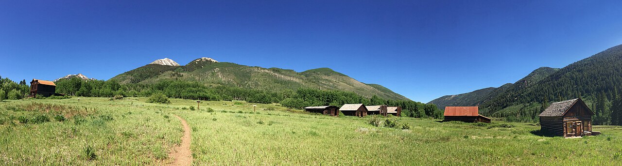
Independence Pass is the highway that links Aspen to the east side of the Continental Divide, topping out at about 12,095 feet in a landscape of tundra, rock and wildflowers above the tree line. The road is narrow, winding and spectacular, with hairpin turns, steep drop-offs and viewpoints that make you glad you stopped. It is one of the highest paved mountain passes in the state and, for many visitors, the most memorable drive of the trip. Along the way you pass the old mining ruins at Independence, trailheads, streams and the mountain town of Twin Lakes on the far side. At the summit there is a parking area with a short, easy nature trail across the tundra, interpretive signs about this fragile environment, and big views in every direction. The thin air makes even the short walk feel strenuous. The pass is a favorite with cyclists in summer, a place to watch the weather build over the peaks, and a good stopping point if you are driving between Aspen and Leadville or on toward Denver in season. Because the road is high and steep, it deserves some respect from drivers of larger vehicles and anyone uneasy on narrow mountain roads.
The pass is seasonal, and that is the most important thing to know. It typically closes in late autumn after the first heavy snows and reopens in late spring, with dates that vary from year to year and with the snowpack. When it is closed, the drive between Aspen and the Front Range runs around through Glenwood Springs and I-70, which is much longer. In the open season, check road conditions before you set off, because summer storms, fog and the occasional rockfall or maintenance work can slow things down.
Vehicle rules matter too. Large trucks, trailers and long vehicles are restricted on the narrowest western section, so check signs and local guidance before you drive a camper or towed vehicle up it. Gas, food and facilities are limited along the route, so fill your tank and carry water and snacks.
Start early to beat the afternoon thunderstorms, which can bring lightning on exposed ground at the summit, and plan to take your time, because the best views are often in spots with little warning. Photographers will love the lakes and the ruins at Independence, which are on the western approach.
Think of the pass as a half-day outing in itself or as part of a loop. A popular plan is to drive to the summit in the morning, stroll the nature trail, picnic by one of the lakes on the east side and return to Aspen by the afternoon.
Another is to continue to Leadville and Twin Lakes for a longer day. Visitors with a sensitivity to heights or altitude should keep the day gentle and stay hydrated. For those who want the view without the driving, cycling tours, tour operators and group rides run in season.
Wildflowers peak on the tundra in the short high-country summer, usually July, and the contrast of tiny blossoms against huge rock walls is a highlight for anyone with a camera. Leave the tundra itself undisturbed, since plants at this altitude take decades to recover from footprints. Pack a picnic, because the nearby lakes are hard to beat for a lunch stop.
What to expect
The experience
A high mountain drive over the Continental Divide with viewpoints, a short tundra nature trail, mining ruins and trailheads.
Best time
Late spring to early autumn, when the pass is open; clear mornings for the best views.
How long
Two to three hours round trip from Aspen to the summit; a half day with stops.
Tips
Check that the pass is open and watch for long-vehicle limits. Fill your tank, carry water and layers and start early to avoid afternoon storms.
Quick picks
- Best for
- Drivers, photographers and anyone who loves a big mountain road.
- Families
- Kids enjoy the lakes and the short summit trail, though the road is winding.
- Couples
- A morning picnic at a lake on the east side makes a lovely outing.
- Pair with
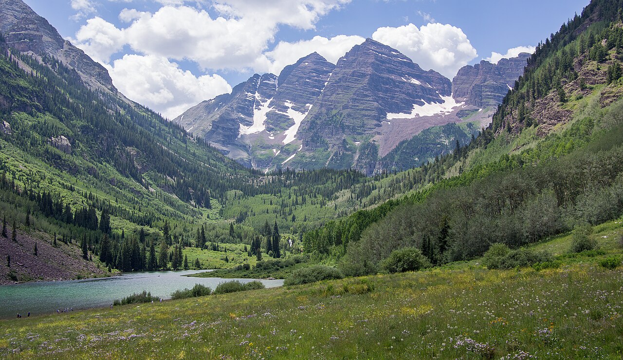
- The Maroon Bells, the gondola or a walking tour of Aspen.
- Time needed
- Half a day.
Good questions
How high is Independence Pass?+
About 12,095 feet above sea level at the summit.
When is it open?+
Usually from late spring to late autumn. It closes for winter, and dates change each year.
Is it a hard drive?+
The road is narrow and winding with steep drop-offs. Most drivers manage it in a normal car if they take their time.
Can I take an RV?+
Large and long vehicles are restricted on the narrowest section. Check the signs and local guidance first.
Is there anything to do at the top?+
Yes, a short nature trail, interpretive signs and wide views across the tundra.