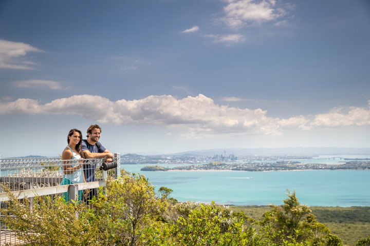
Maungauika, also known as North Head, is one of the oldest volcanic cones in the Auckland volcanic field, formed more than fifty thousand years ago, and it guards the entrance to the Waitematā Harbour at the end of the Devonport peninsula. Its name means the mountain of Uika, after an ancestor who lived there about eight hundred years ago, and the area was among the earliest parts of Tāmaki Makaurau to be settled. In colonial times it became a military site, with a muzzle-loader fort installed in 1885 because of fears of a Russian invasion, and between 1888 and 1914 prisoners dug many of the tunnels that link the batteries and service rooms. Defences were extended in the Second World War, and the forces left in the 1990s. Today it is a free reserve to wander, with tunnels, batteries, a disappearing gun at the South Battery, searchlight positions and life-size historical figures, and the views over the harbour are among the best in the city. It is administered by the Tūpuna Maunga Authority on behalf of the iwi and hapū of Tāmaki Makaurau.
Getting there
The nicest way is by ferry from the Downtown Ferry Terminal to Devonport Wharf, a short crossing, followed by a walk of about two kilometres. Follow King Edward Parade to its end, pass Torpedo Bay and the Navy Museum, then turn along Cheltenham Road and Takarunga Road to the gated entrance at 18 Takarunga Road. By car it is about thirty minutes from the city centre, depending on traffic. The pedestrian gate is open from 6am to 10pm and the vehicle gate from 6am to 8pm.
Walks
Three short loops, each about a kilometre one way and 20 to 30 minutes, take in the Coastal Loop, the Summit Loop and the Tunnels Loop. The tunnels and batteries are the main draw, and signs explain how the disappearing gun worked. Some structures may be restricted while heritage conservation work continues, so check current notices. Dogs must be on a lead, and visitors should pick up after them.
Making a day of it
Devonport village has cafés, a seaside promenade, and Mt Victoria, another volcanic cone with views, so combine the headland with a coffee and a wander. It suits history lovers, families with children who enjoy tunnels, and anyone who wants a free outing that is also a ferry ride.
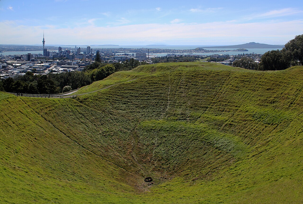
Wear sturdy shoes, take a torch or phone light for the tunnels if you want, and bring a windproof layer. For a larger volcanic island, compare it with Rangitoto, and for a different view of the isthmus, Maungawhau Mt Eden is the classic crater walk.
What to expect
The experience
A free self-guided visit to a volcanic headland with tunnels, gun batteries and three short loop walks, reached by ferry to Devonport.
Best time
Clear days for harbour views; weekday mornings for quiet paths.
How long
One to two hours on the headland, plus the ferry and the walk from Devonport Wharf.
Tips
Wear sturdy shoes, bring a windproof layer and a light for the tunnels, and check for restricted areas while conservation work continues.
Quick picks
- Best for
- History lovers and families who want a free outing with tunnels and views.
- Families
- Children usually enjoy the tunnels and gun batteries; keep dogs on a lead.
- Couples
- A ferry crossing, a headland walk and a Devonport café make an easy half day.
- Pair with
- Devonport village and Mt Victoria, or Rangitoto Island on another day.
- Time needed
- Half a day with the ferry.
Good questions
How do I get to Maungauika North Head?+
Take the ferry from downtown Auckland to Devonport Wharf and walk about two kilometres, or drive to the gated entrance at 18 Takarunga Road.
Is it free?+
Yes, entry to the reserve is free.
What are the opening hours?+
The pedestrian gate is open from 6am to 10pm and the vehicle gate from 6am to 8pm.
What can I see there?+
Tunnels and batteries, a disappearing gun at the South Battery, searchlight positions and sweeping harbour views.
Who looks after it?+
The Tūpuna Maunga Authority has managed the reserve since January 2019, on behalf of the iwi and hapū of Tāmaki Makaurau.