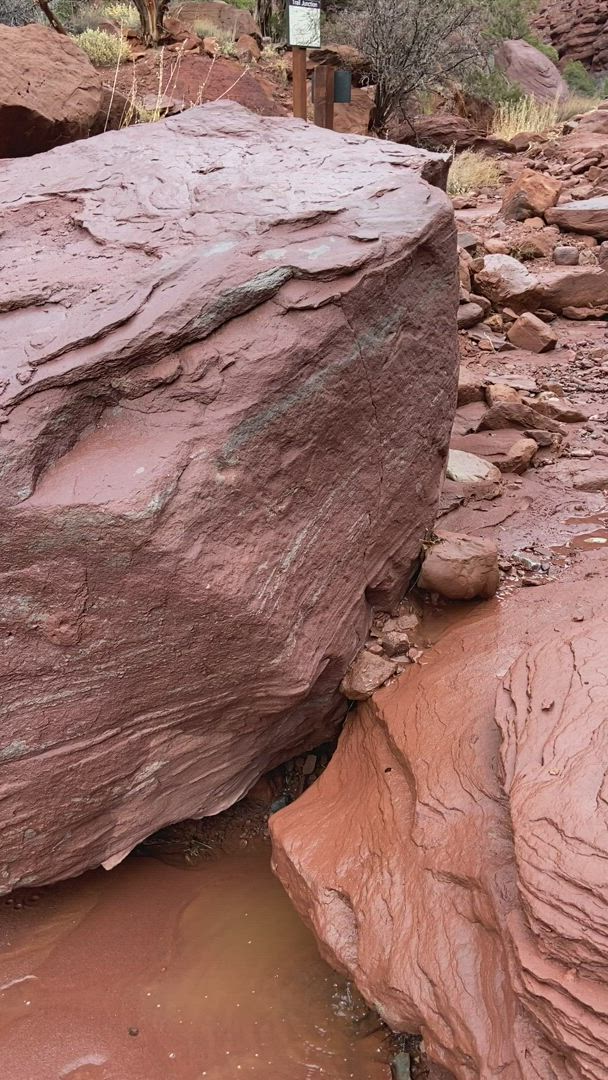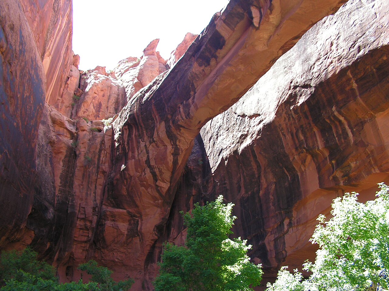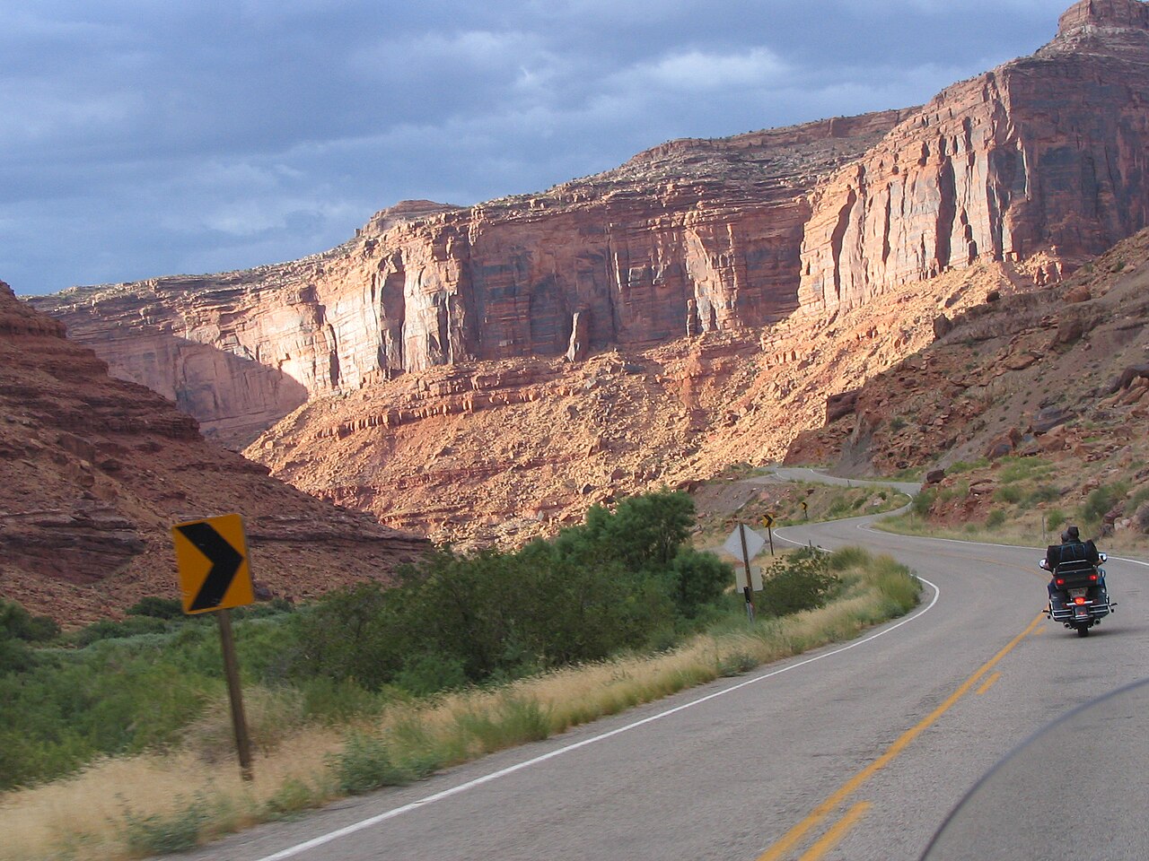
Highway 128 leaves Moab beside the Colorado River and climbs through a deep canyon lined with towering red walls, running northeast for roughly forty-four miles toward Interstate 70. The designated scenic byway follows the river through Professor Valley, past the entrances to Castle Valley and the Fisher Towers turnoff, and past rafting put-ins, climbing walls and short riverside trails. Lodges and campgrounds sit along the first twenty miles, and the Dewey Bridge crossing marks one of the most photographed spots farther on. Unlike the national parks, there is no gate, no entry fee and no reservation, and the drive is rewarding whether you go all the way to the interstate or turn around after twenty minutes. Early or late light on the cliffs is spectacular.
The road is paved and in good condition but narrow in places, with traffic that can include slow vehicles, cyclists and raft trailers, so patience pays. Pullouts allow you to stop for photographs, and short trails lead down to the water. In summer, the river corridor is busy with rafters and swimmers, and in winter it is quiet, with frost on the cliffs and fewer services. Fill your tank in Moab, because stations are scarce beyond town.
Use the byway as the connecting thread of a day. Start with the Negro Bill Canyon walk close to town, continue to the Fisher Towers trail for the scenery, stop at a riverside lodge for lunch and, if you have energy, finish with a raft trip or a late-afternoon drive back toward the setting sun. The highway also leads to the Castle Valley turnoff, where a narrow road runs toward the La Sal Mountains, so it links neatly into the mountain loop.
Plan for the season. Summer afternoons are hot and the river is crowded, while spring and autumn are comfortable and quieter. Flash floods can affect side canyons after storms, and rockfall is occasionally a hazard on the road, so slow down on shaded sections. Stay on public roads, respect private property along the river and pack out your trash. A sunset drive back toward Moab, with the cliffs glowing, is one of the quiet highlights of a Moab trip.
What to expect
The experience
A paved scenic drive of about forty-four miles along the Colorado River with pullouts, trailheads and rafting put-ins.
Best time
Early morning or late afternoon for light on the cliffs; spring and autumn for comfort.
How long
One to four hours depending on how far you drive and how often you stop.
Tips
Fill your fuel tank in Moab, drive carefully on narrow sections and take water and snacks.
Quick picks
- Best for
- Visitors who want effortless, spectacular scenery without a hike.
- Families
- Easy and comfortable, with riverside stops for stretching legs.
- Couples
- Drive out for sunset and linger at a riverside pullout.
- Pair with
- Fisher Towers trail, Negro Bill Canyon and Fisher Towers rafting.
- Time needed
- Allow two to four hours.
Good questions
How long is Highway 128?+
Roughly forty-four miles from Moab to Interstate 70, though most visitors drive only part of it.
Is there a fee to drive it?+
No. There are no entry fees or reservations on the public highway.
Where can I buy fuel?+
In Moab. Services are limited once you leave town.
When is the best time to drive?+
Early morning or late afternoon for the light, and spring or autumn for comfortable temperatures.
What can I do along the way?+
Hike Negro Bill Canyon or Fisher Towers, stop at river pullouts, watch rafters and eat at a riverside lodge.