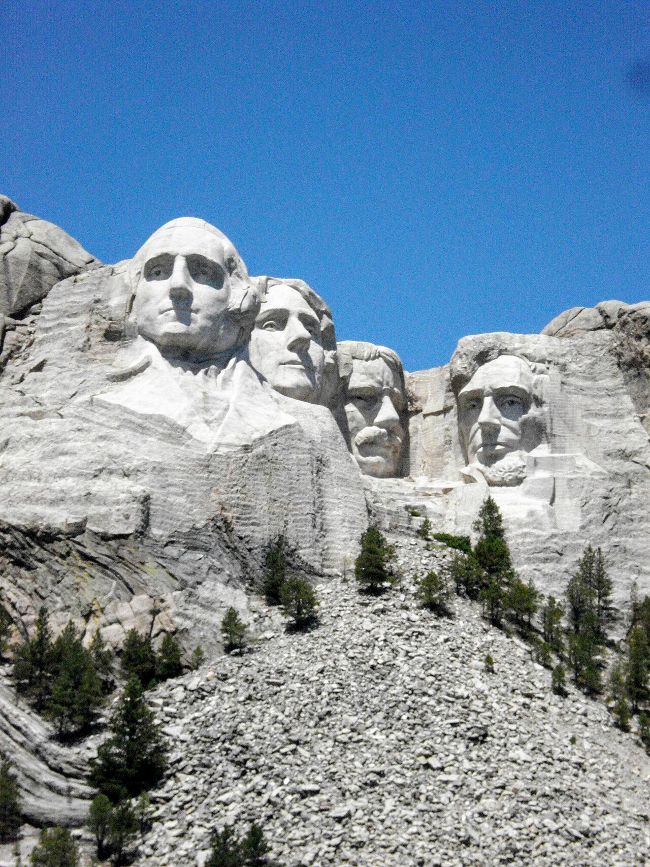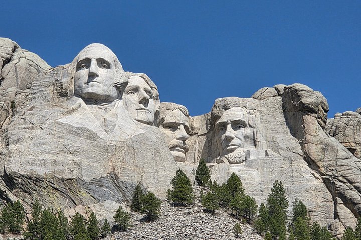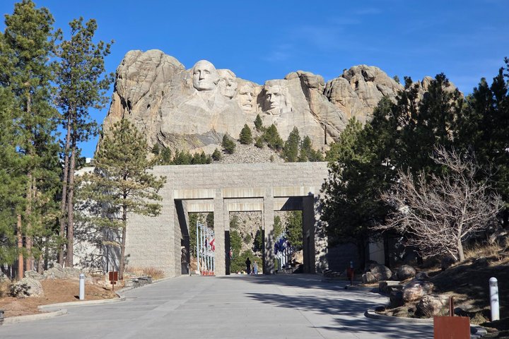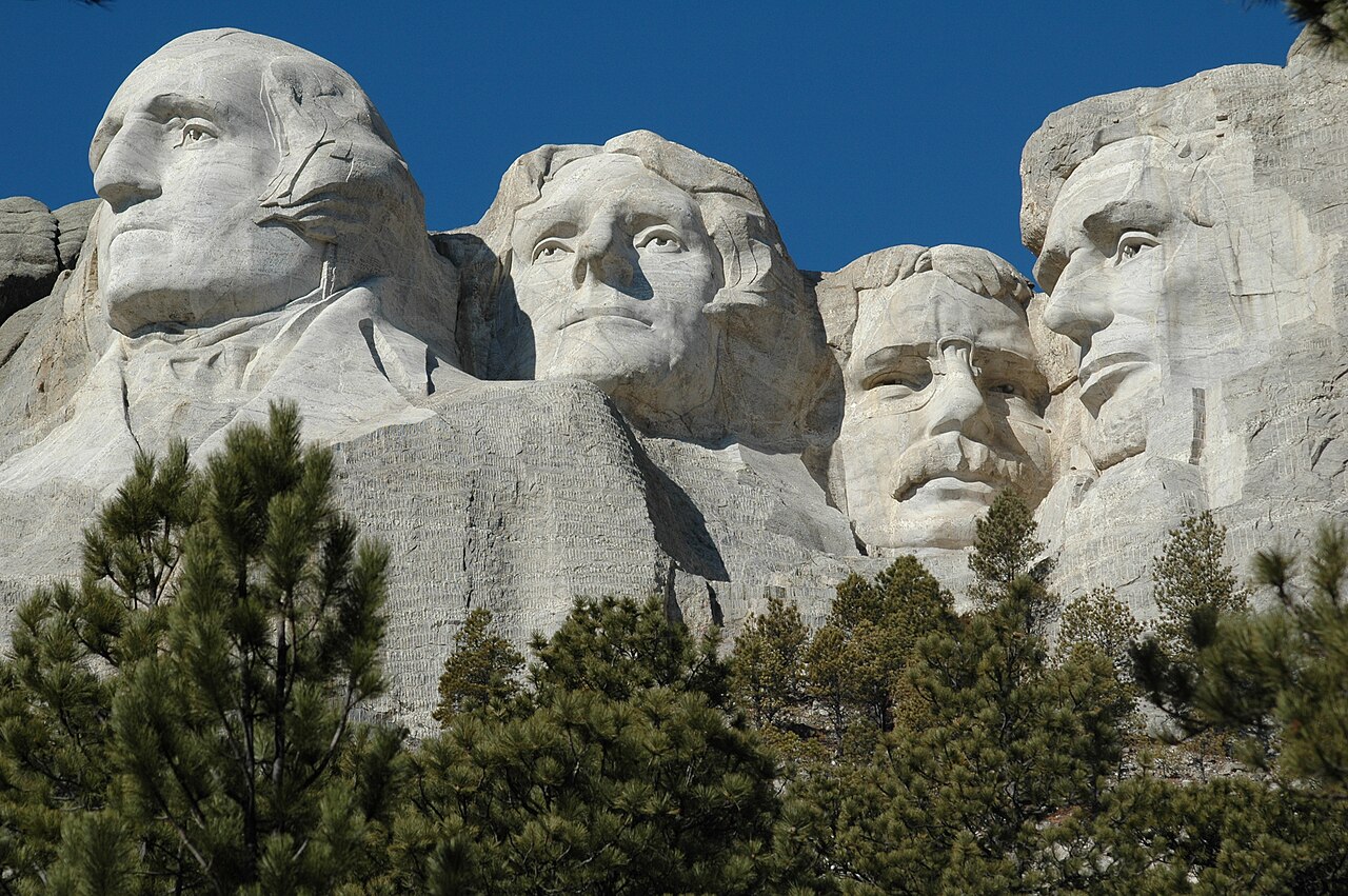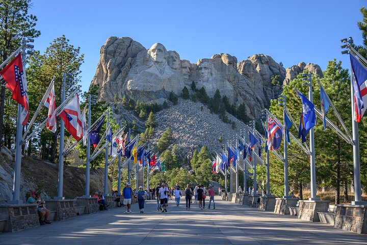
Iron Mountain Road is the stretch of US 16A that connects Custer State Park with Mount Rushmore, and it was designed as a scenic road rather than a fast one. The route is about seventeen miles long and takes at least an hour, and it features three narrow tunnels, named for people connected to the memorial: the Doane Robinson, C.C. Gideon and Scovel Johnson tunnels. Several are aligned to frame the faces of Mount Rushmore in the distance, which makes for one of the most photographed views in the Hills. The road is also known for its pigtail bridges, wooden structures that loop over themselves as the road gains elevation. Peter Norbeck, the governor who planned the region's scenic roads, directed its construction in the 1930s and recommended that drivers go no faster than twenty miles per hour. The road is part of the Peter Norbeck Scenic Byway, and it closes periodically in winter depending on conditions. Tunnel clearances are tighter than on ordinary highways, so check your vehicle's height and width. The coach tours from Rapid City include it, which is a good option for visitors who prefer not to drive.
The road's design is a story in itself. Norbeck wanted visitors to experience the Hills slowly, and he laid out the route to reveal views at deliberate moments, including the alignment of tunnels that frame Mount Rushmore. The pigtail bridges were an engineering solution to a steep climb, and the wooden construction was meant to blend with the forest.
Driving it today, you can feel that intention: the curves are tight, the road is narrow, and there are numerous pull-offs for photographs. It was never meant to be efficient, and that is exactly why it is fun.
Practical points matter. Tunnel clearances range from roughly ten feet nine inches to just over eleven feet in height, and from about ten feet nine inches to twelve feet in width, so large RVs and trailers may not fit. Check your vehicle's dimensions and have an alternative ready. Drive slowly, watch for oncoming traffic in the tunnels and be ready for wildlife, including deer, on the road.
Early morning light is best for photographs of the memorial through the tunnels, and late afternoon works in summer. The road is part of the Custer State Park corridor, and the park entrance license may apply depending on where you enter, so check the posted signs.
Combine it with other stops. Many visitors drive Iron Mountain Road from Keystone toward Custer State Park, then return via Needles Highway or the Wildlife Loop, making a scenic circuit of the southern Hills. Motorcyclists treat it as a highlight, and bicyclists tackle it with care. Winter closures are common after heavy snow, so check conditions before you go.
If you are on a coach tour, the road is usually included, and you can enjoy the views without watching the curves. For a first visit, drive it in the direction that puts the faces of Mount Rushmore ahead of you, and take your time.
What to expect
The experience
A seventeen-mile scenic road between Custer State Park and Mount Rushmore with three tunnels and wooden pigtail bridges.
Best time
Daylight hours in dry weather. Winter closures happen periodically after snow.
How long
At least an hour, longer with photo stops.
Tips
Drive slowly and check vehicle height and width. Stop only at pull-offs. Early morning is best for photographs of the memorial through the tunnels.
Quick picks
- Best for
- Drivers and photographers who want a scenic approach to Mount Rushmore.
- Families
- Fun for children who enjoy bridges and tunnels. The curves can cause car sickness.
- Couples
- A classic scenic drive with a photo-friendly framing of the faces.
- Pair with
- Mount Rushmore, Needles Highway and Custer State Park.
- Time needed
- One to one and a half hours.
Good questions
How long is Iron Mountain Road?+
About seventeen miles. It takes at least an hour at the speeds the road is designed for, and longer with stops for photographs.
Can an RV drive it?+
Large RVs and trailers may not fit. The tunnels are only a little over ten to eleven feet high and between about ten and twelve feet wide. Check your dimensions first.
Does it really frame Mount Rushmore?+
Yes, the road was laid out so that tunnels and curves reveal the faces in the distance. It is one of the most photographed views in the Hills.
Is it open in winter?+
It closes periodically, depending on conditions and how quickly it can be cleared. Check road conditions before you go.
What are the pigtail bridges?+
Wooden bridges that loop over themselves so the road can gain elevation on a steep slope. They are an engineering feature and a favorite photo stop.