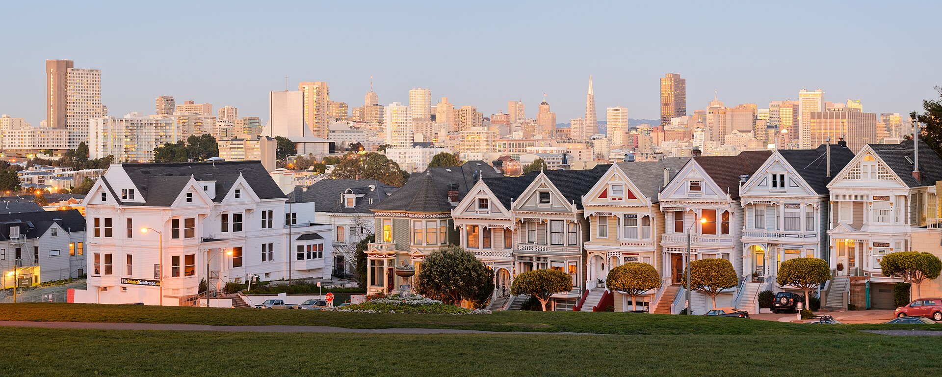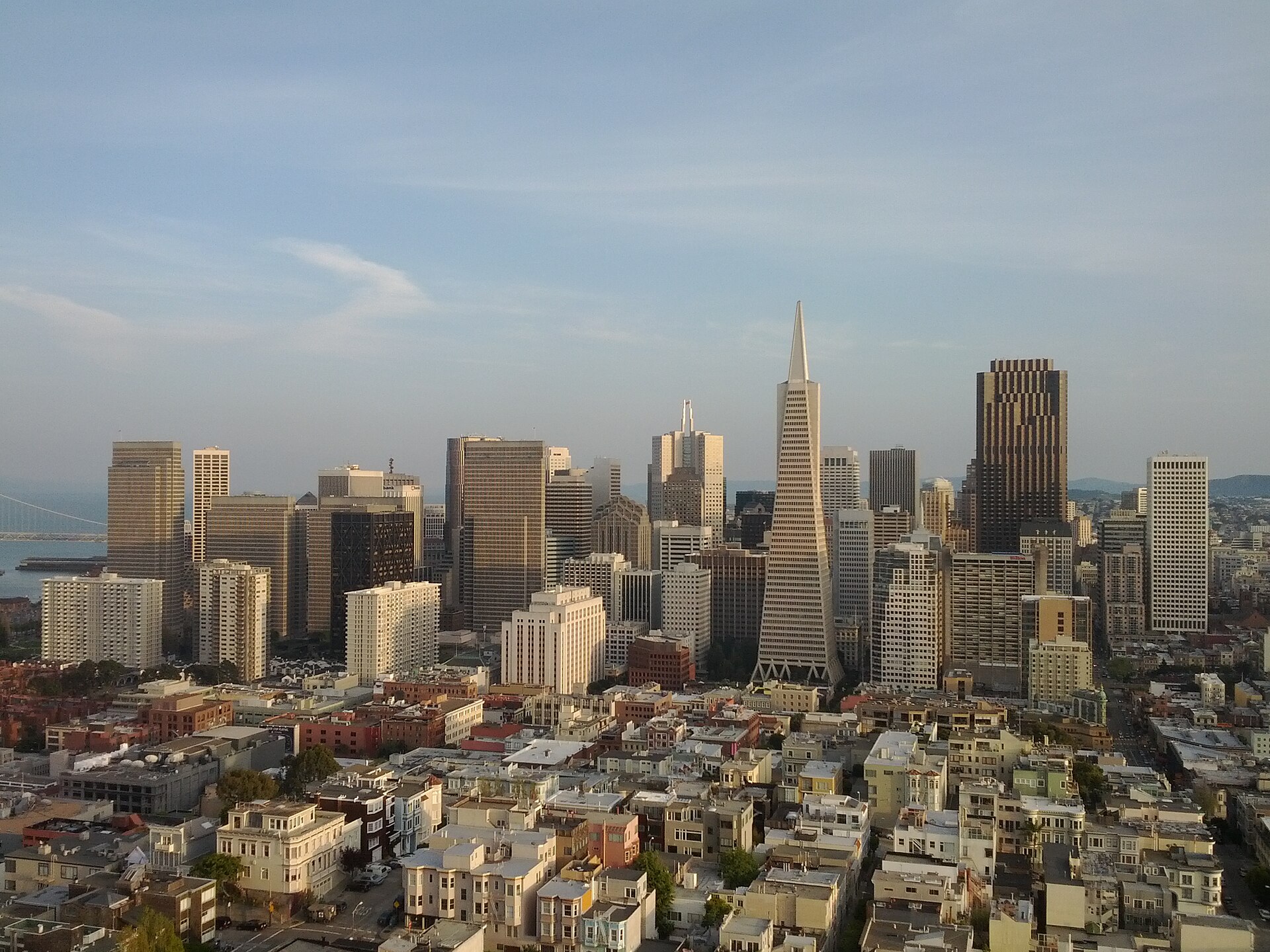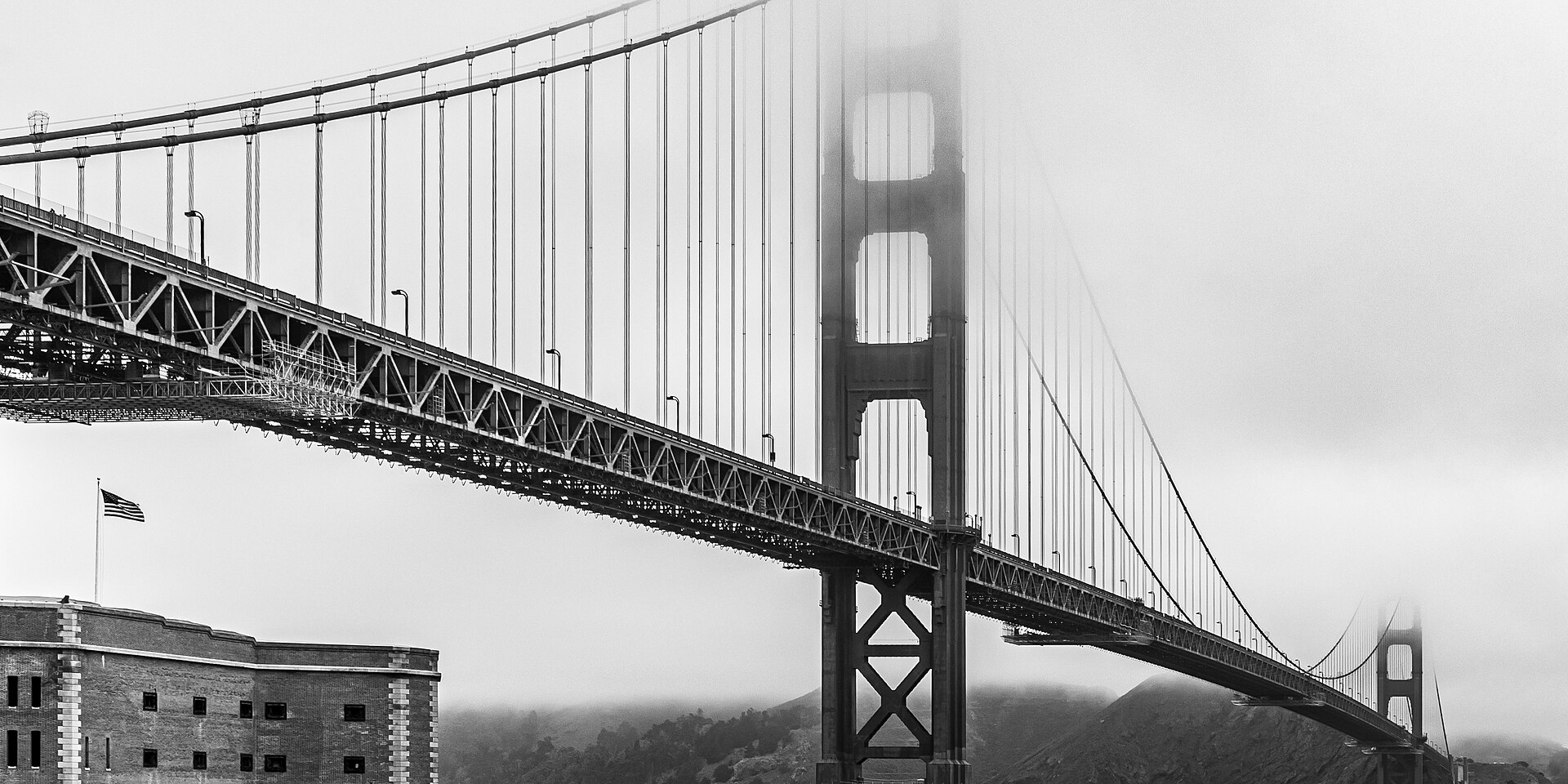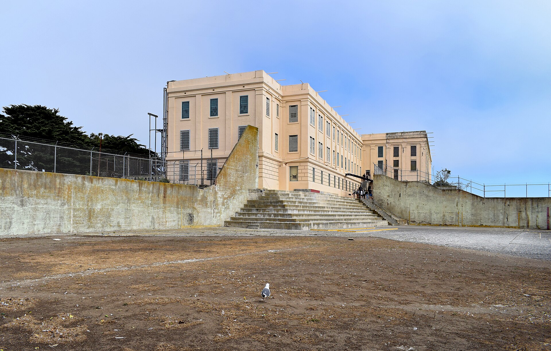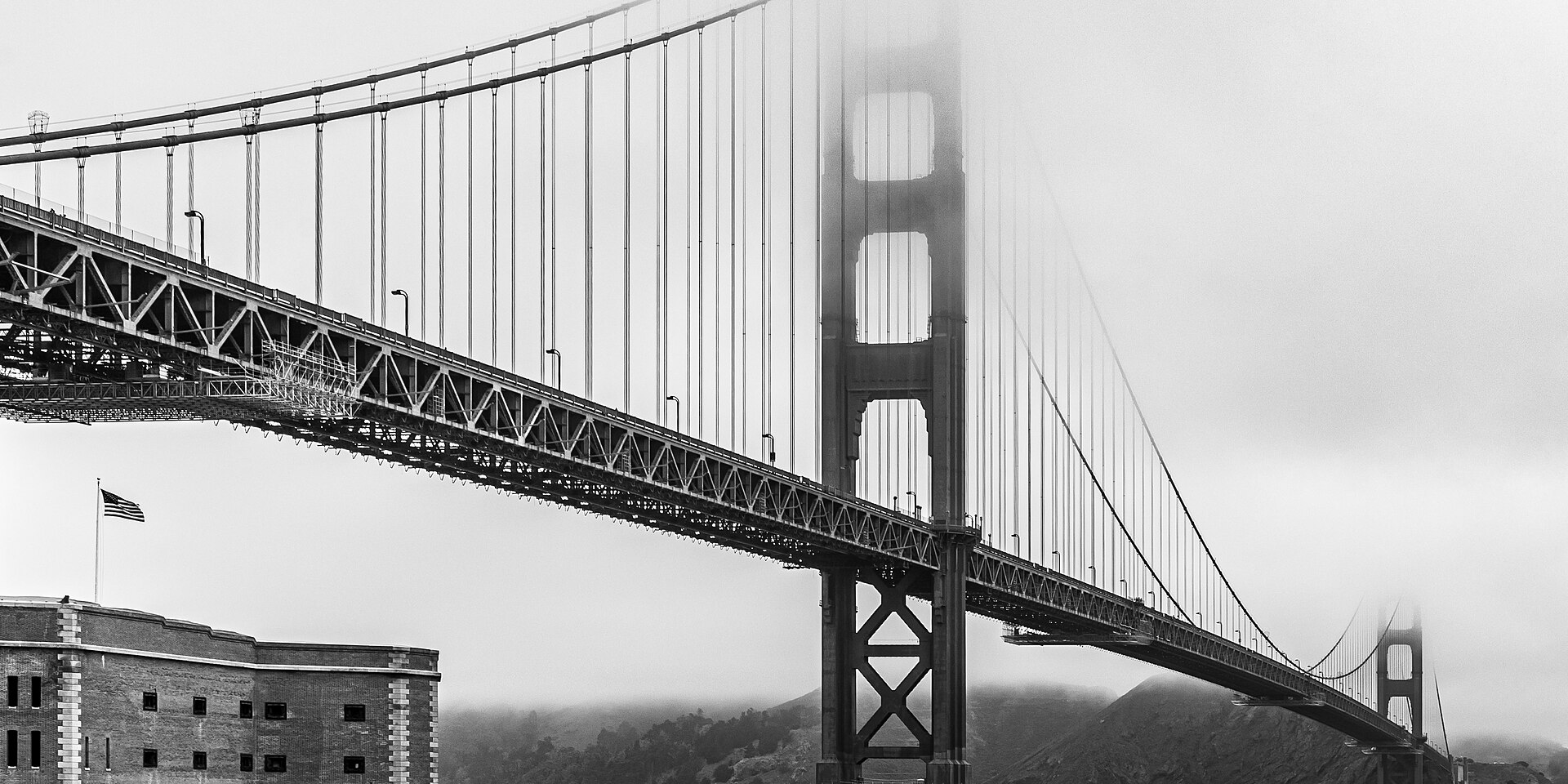
Twin Peaks is San Francisco's orientation lesson and its best free panorama: the twin 922-foot summits at the city's near-geographic center — among the highest points inside the city — where the entire geography assembles at once: Market Street running arrow-straight from your feet to the Ferry Building's clock tower, the financial district's towers against the bay, both bridges bracketing the view (Golden Gate north, Bay Bridge east), Alcatraz and Angel Island in the water, the Mission's grid filling the near ground, and on clear days Mount Diablo over the East Bay hills — the single viewpoint that explains how the city fits together, which is why every first visit benefits from an early stop here: see the map once from above and the neighborhoods make sense forever after. The craft is the weather: Twin Peaks sits in the fog's main channel — summer afternoons can erase the view entirely while the Mission below sits in sun (check the webcams or simply look up before committing), but the fog is also the show: evenings when the marine layer pours through the Golden Gate and over the peaks in slow-motion rivers are the city's great free spectacle, and clear winter days run the sharpest 50-mile visibility. The modes: drive or rideshare to the Christmas Tree Point overlook (the north-peak parking viewpoint — the standard stop; note the figure-eight road's partial closure made the east side a promenade), or hike it — the short, steep summit trails from the overlook ticks both actual peaks (Eureka and Noe, 15 minutes of stairs each, far fewer people than the parking lot), and the ambitious walk up from the Castro via the Pemberton or Vulcan stairway gardens is a hidden-stairway classic. The peaks themselves are a 64-acre natural area — one of the last big fragments of the original Franciscan hilltop grassland, home to the endangered Mission blue butterfly in spring — so the wildness is real: wind always (the summit runs 10-15 degrees colder than the Mission; bring the jacket that seems unnecessary below), coyotes at dusk, and the red-and-white Sutro Tower looming from the next ridge as the city's space-age familiar. Free always, open dawn into evening, and the city-lights hour after sunset is the payoff couples plan around.
The geography earns the stop
The Ohlone knew the peaks, the Spanish named them Los Pechos de la Choca, and the 1905 Burnham Plan imagined them as the city's Athenian acropolis — what the city actually built was the view itself: Christmas Tree Point's overlook (named for a 1927 civic tree) facing the downtown axis, with Market Street's line — plowed straight at the peaks by 1847 survey decree — running from your feet to the water as the city's one great planned vista. The natural area is the secret second visit: the Mission blue butterfly's spring flights on the lupine slopes (the conservation story is real — the peaks are one of the butterfly's last city habitats), hawks working the updrafts, and the summit trails' switchbacks delivering the 360 the parking lot only hints at — the south peak adds the ocean side, San Bruno Mountain and the Pacific's fog bank queueing offshore.
Fog literacy is the visit's skill
The marine layer's summer schedule (in by late afternoon, out by late morning) means midday clarity windows; the spectacle mode — fog pouring over the gate and shredding on the peaks while downtown stays clear — favors early evening in June-August; and winter's storm-washed days deliver the Diablo-to-Farallones maximum. The city-lights sequence is the classic: arrive for golden hour, watch the grid ignite down Market Street, and stay past blue hour when the bridges' necklaces come up — bring the real jacket; the summit wind is sincere. Safety note of the practical kind: it is a beloved viewpoint with parking-lot ordinariness — keep valuables out of sight, standard city car rules.
Practicals and fit
Twin Peaks Boulevard to Christmas Tree Point (rideshare easy; the 37 bus climbs near), free always, the east-side road promenade for walkers and cyclists, summit stairs for the full 360, Castro stairway-garden ascents for the hiking version. Fit: the views chip's orientation stop (do it early in the trip), couples at city-lights hour, photographers in fog season, hikers collecting the stairway routes — and everyone who wants the city explained in one look.
What to expect
The experience
The city assembled at once from 922 feet — Market Street's straight shot, both bridges, bay islands and the Mission grid — from the overlook or the short summit stairs above it.
Best time
Midday clarity windows in summer (fog owns late afternoons — or come FOR the fog rivers at evening); winter's washed days run 50-mile visibility; city-lights hour is the classic.
How long
An hour, longer with the summit trails.
Tips
Climb the 15-minute summit stairs — both actual peaks beat the parking lot. Bring the jacket that seems unnecessary below; the summit runs 10-15 degrees colder. Keep valuables out of sight, standard city car rules.
Quick picks
- Best for
- The views chip's orientation stop — see the map once from above and the city makes sense forever.
- Families
- A drive-up panorama with short summit stairs and hawk-watching — geography class with a view.
- Couples
- Golden hour into city lights, the grid igniting down Market Street — plan an evening around it.
- Pair with
- The Castro's stairway-garden ascent routes; the Mission below for the warm-up or the dinner after.
- Time needed
- One windy golden hour.
Good questions
What can we actually see?+
Everything at once — Market Street arrow-straight to the Ferry Building, both bridges, Alcatraz and Angel Island, the full downtown and Mission, and Mount Diablo on clear days: the one viewpoint that explains the city.
What about the fog?+
The peaks sit in the fog's main channel — summer late afternoons can erase the view, so use midday windows, or come deliberately for the evening fog rivers pouring through the gate, which are the better show.
Can we hike it?+
Short, steep stairs from the overlook tick both true summits in 15 minutes each — far fewer people than the lot — and the Castro's Pemberton stairway gardens make the classic walking ascent.
How cold is it up there?+
Ten to fifteen degrees below the Mission, with sincere wind — bring the jacket that feels unnecessary at the bottom.
Is sunset worth the chill?+
The city-lights sequence — golden hour, the grid igniting down Market, the bridge necklaces at blue hour — is the free evening couples plan around. Layer up and stay past dusk.