Santa Barbara sits at the foot of the Santa Ynez Mountains, and climbing into them is how locals reset. The quintessential hike is to Inspiration Point, a rocky knob at about 1,800 feet whose view takes in the city's red roofs, the Pacific, the harbor and, on clear days, the Channel Islands stretched across the horizon. The city recommends the Jesusita Trail route: it begins just past the Cater Water Treatment Plant at the end of San Roque Road, crosses San Roque Creek in a shady oak canyon, and then climbs through open chaparral with steadily growing views to the summit. The round trip is roughly seven miles with a solid elevation gain — a moderate-to-strenuous half-day that rewards early starts and plenty of water. About half a mile in, the Arroyo Burro Trail branches off, and the path also connects to Stevens Park, which has restrooms, a playground and picnic seating near the bottom. Dogs are allowed on leash. Hikers sometimes approach from the Tunnel Road trailhead above Mission Canyon, a shorter but steep route that also leads to Seven Falls; note that a Southern California Edison stream-restoration project detoured that route from September 2025, so check conditions before choosing it. Whichever way you come, this is free, close to town, and the single best way to see how the city fits between mountains and sea.
The front country is part of Santa Barbara's identity. A network of trails climbs the canyons directly above the city — Rattlesnake, Cold Spring, Tunnel, Jesusita and others — and on any morning you will meet runners, dog walkers and hikers who live a few minutes away. These landscapes are shaped by fire and flood: the 2009 Jesusita Fire burned much of this terrain, and winter storms periodically close trails for repairs (several front-country routes were closed for weeks after the storms of 2023). The chaparral has regrown vigorously, and spring brings wildflowers and running creeks; summer and early autumn bring heat and exposed slopes, which is why the locals start early.
Planning: start in the morning or late afternoon, carry at least two liters of water per person, wear sun protection, and bring layers if you plan to linger at the top for sunset (descend with a headlamp). Parking at the San Roque Road trailhead is along the street; respect the residential neighborhood. The trail is well-trodden but rocky in places, with exposure to the sun on the upper half. Watch for poison oak near the creek crossings, give way to uphill hikers and bikes where applicable, and keep dogs leashed. After heavy rain, check the city and Forest Service updates for closures, and if the Tunnel Road route remains affected by the Edison project, stick to Jesusita.
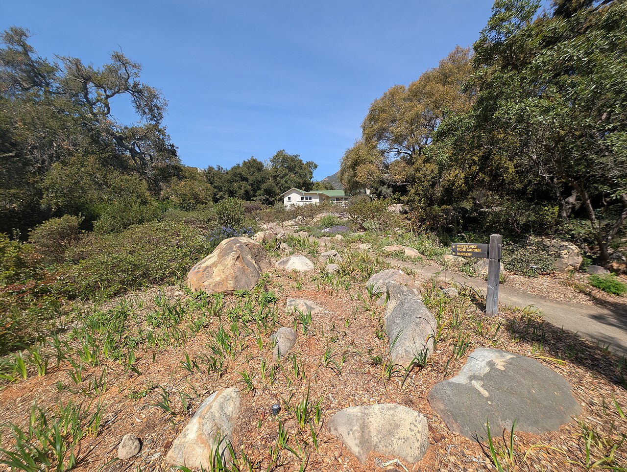
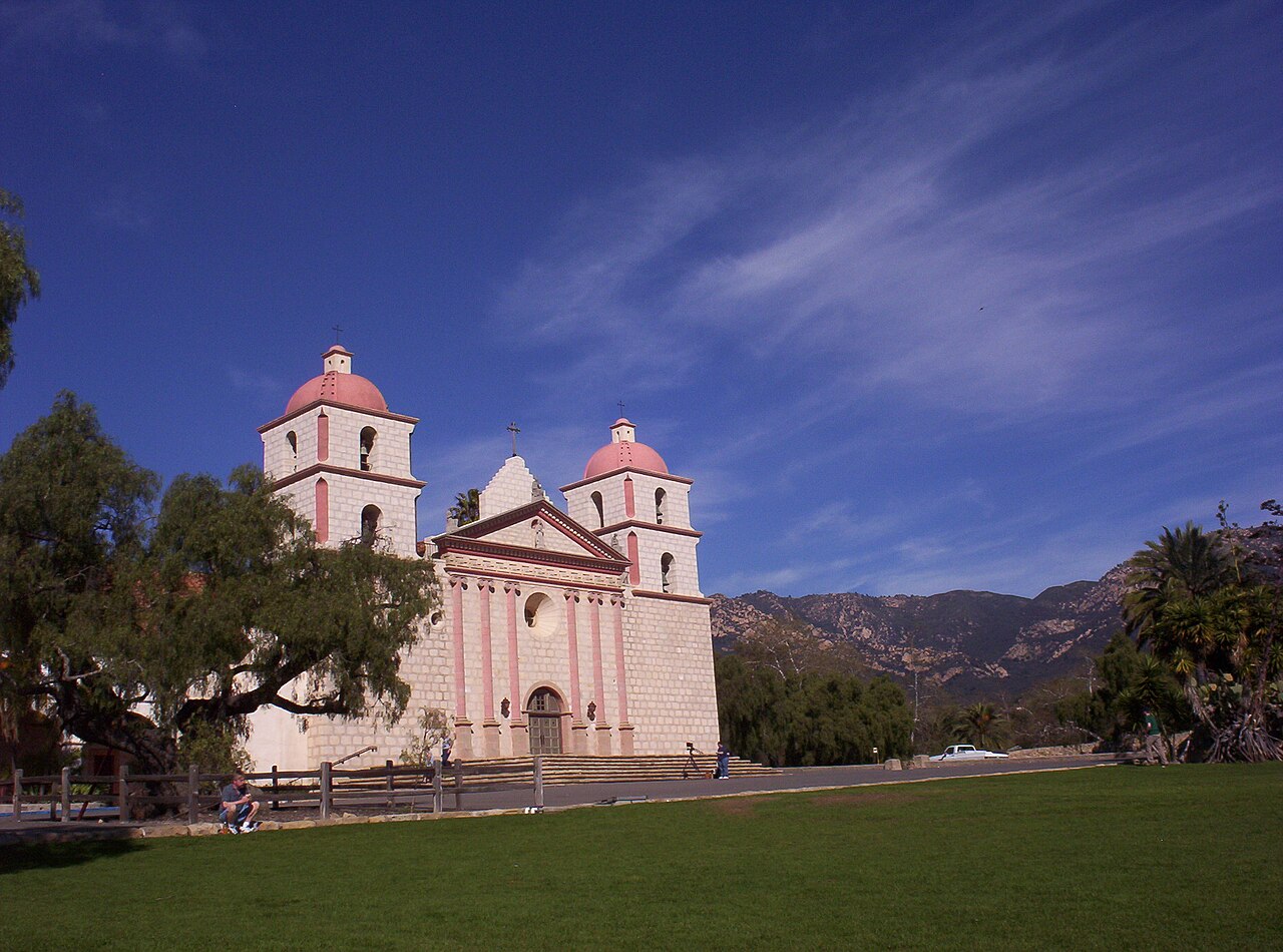
Fitting it into a trip: Inspiration Point works as a morning hike before a Mission Canyon day — the Botanic Garden is close to the Tunnel Road trailhead and the Old Mission is a short drive downhill. For a gentler outing, Rattlesnake Canyon or the Botanic Garden's own trails deliver the scent of sage and the canyon views without the summit climb. Either way, you will come down understanding the city's setting better than any postcard could explain it.
What to expect
The experience
A roughly seven-mile round-trip hike from the San Roque Road trailhead through an oak creek canyon and chaparral to a rocky viewpoint at about 1,800 feet.
Best time
Early morning or late afternoon; spring for wildflowers and running creeks. Avoid midday heat in summer.
How long
Three to four hours round trip.
Tips
Carry plenty of water and sun protection. Watch for poison oak. Keep dogs leashed. Check for closures after storms and for the Edison project on the Tunnel Road route.
Quick picks
- Best for
- Active travelers who want the definitive Santa Barbara view.
- Families
- Best with older kids who hike; younger ones will enjoy Stevens Park and the creek at the bottom.
- Couples
- A sunset summit with a picnic, then a headlamp walk down.
- Pair with
- The Botanic Garden and the Old Mission in Mission Canyon.
- Time needed
- A half-day.
Good questions
How hard is the hike?+
Moderate to strenuous — roughly seven miles round trip with a steady climb to about 1,800 feet on rocky, partly exposed trail. Start early and carry plenty of water.
Where does the Jesusita Trail start?+
Just past the Cater Water Treatment Plant at the end of San Roque Road. It ends at Tunnel Road, where it meets the Tunnel Trail.
Can we bring a dog?+
Yes, on leash at all times, per the City of Santa Barbara. Bring water for your dog too.
Is the Tunnel Road route open?+
A Southern California Edison stream-restoration project detoured the Edison Tunnel route from September 2025. Check current conditions; the Jesusita Trail is the reliable alternative.
What will we see from the top?+
The city, the harbor and the ocean, Lauro Canyon Reservoir, and on clear days the Channel Islands across the water.