Joffre Lakes is the postcard hike of the Pemberton area. The park is off Highway 99 east of Pemberton on Duffey Lake Road, and the trail from the parking lot passes Lower, Middle and Upper Joffre Lakes, with Upper Joffre the largest. Lower Joffre has a viewpoint about a five-minute walk from the parking lot, which is useful for anyone who wants the colour of the water without the climb. The elevation gain to Upper Joffre is about 400 metres, and BC Parks does not list a trail distance or hiking time on its page. Day-use passes are typically required during peak season, and the page directs visitors to the BC Parks day-use pass page to get one; you do not need a pass if you have a camping reservation, though you should carry the details. Visitors planning a trip should check the pass page rather than rely on memory, because requirements change. In winter, BC Parks warns of severe conditions from November to the end of May, with weather-dependent vehicle access and limited parking because of snow clearing. Trails have deep snow, ice and slippery terrain, microspikes or snowshoes are strongly recommended, and winter recreation is suitable only for experienced, properly equipped people. Avalanches are possible for much of the year, ice falls from the Matier Glacier and there is no cell service or emergency services in the park.
What you see. The lakes sit in a glacial bowl with turquoise water, with the Matier Glacier hanging above Upper Joffre. The colour comes from rock flour carried by meltwater, and it looks best in bright light. The trail climbs through forest and rocky sections, and the upper stretch can be steep and rough. The BC Parks page strongly discourages scrambling uphill beyond Upper Joffre.
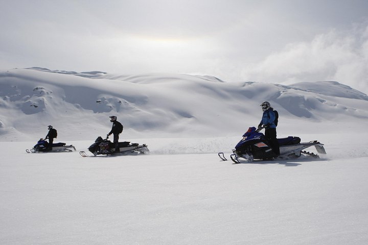
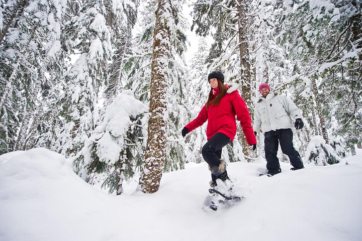
When to go. Summer and early autumn are the safe seasons for most visitors, and early starts help with crowds and parking. Avoid the park in November and through the winter unless you have winter-travel skills and avalanche training, because the hazards are serious. For an easy day in cold months, consider a short snowshoe or a visit to Nairn Falls instead.
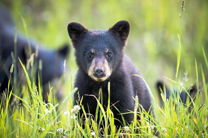
Practical tips. Bring water treatment, because no drinking water is provided, plus insect repellent for mosquitoes and black flies, layers and sturdy shoes. The lakes are cold and are not recommended for swimming, and there are no lifeguards. Wildlife includes deer, black bears, grizzly bears and mountain goats, so make noise and keep your distance. Campfires are permanently banned. Tell someone your plan before you set out, because you are well away from help.
What to expect
The experience
A forested trail past Lower, Middle and Upper Joffre Lakes, with about 400 metres of elevation gain to the top lake.
Best time
Summer and early autumn; BC Parks warns of severe winter conditions from November to the end of May.
How long
Several hours for the full trail; the Lower Joffre viewpoint is about five minutes from the car park.
Tips
Check whether a day-use pass is required for your date, carry water treatment, avoid winter unless equipped and trained and tell someone your plan.
Quick picks
- Best for
- Fit visitors who want glacier-lake scenery on a day trip from Pemberton.
- Families
- The Lower Joffre viewpoint is easy, but the full trail is a real hike.
- Couples
- A scenic hike with a picnic by the lakes.
- Pair with
- Nairn Falls and lunch in Pemberton.
- Time needed
- A full day with the drive.
Good questions
Do I need a day-use pass?+
Passes are typically required during peak season, but the BC Parks page does not give dates, so check the day-use pass page.
How far is the hike?+
BC Parks does not list a distance, but the elevation gain to Upper Joffre is about 400 metres.
Can I hike it in winter?+
Winter conditions are severe from November to May and suit only experienced, properly equipped people with avalanche awareness.
Can I swim in the lakes?+
The glacier-fed lakes are cold and swimming is not recommended; there are no lifeguards.
Is there cell service?+
No. There are no emergency services or cell service, so go prepared.