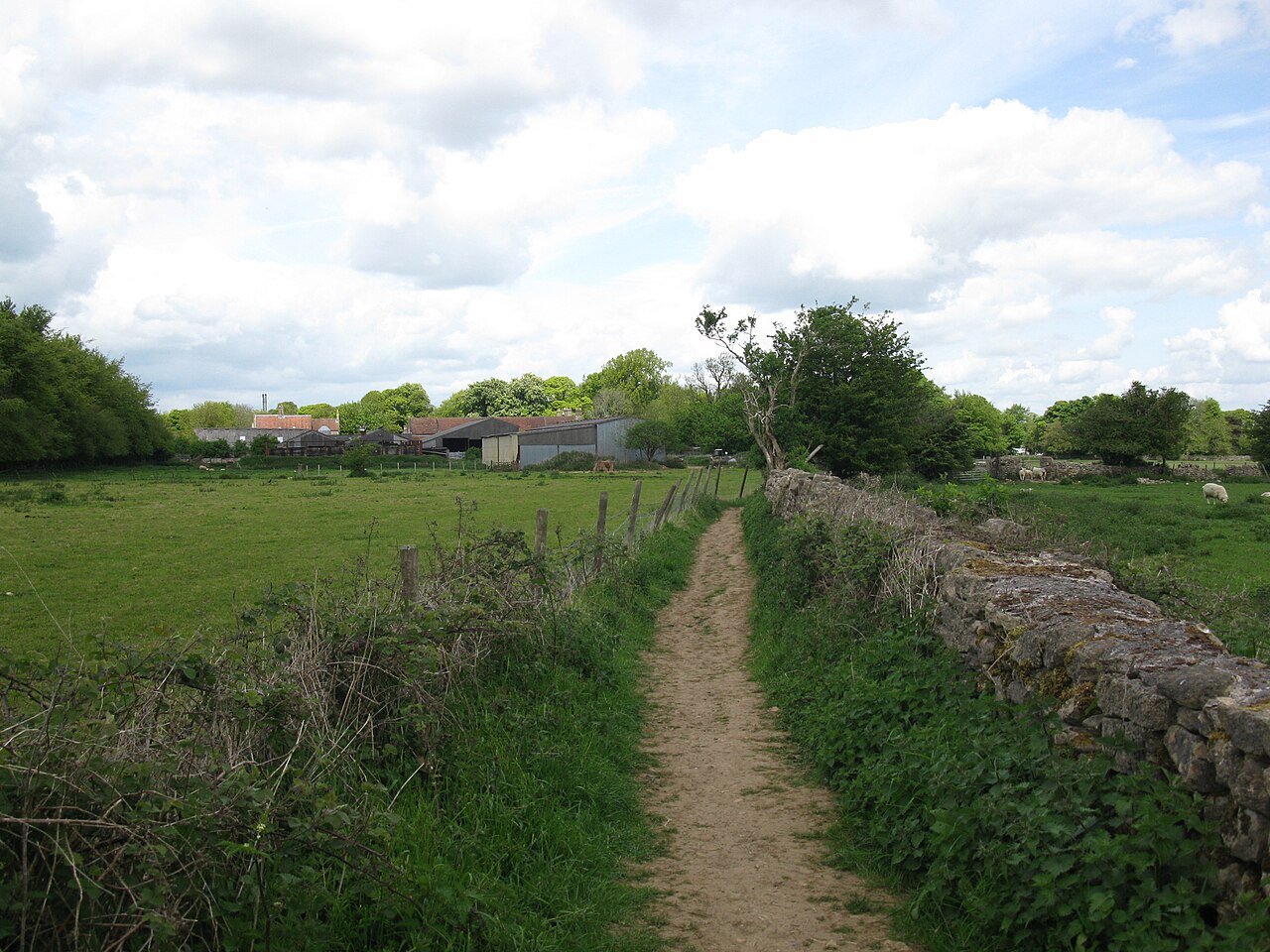
The Bath Skyline is a National Trust-protected ring of woods and meadows on the hills around the city, and its signature route is a six-mile circular walk that takes between three and a half and four hours. It starts at Bathwick Hill at Cleveland Walk, reached by bus from the centre or on foot from the station, then climbs through Bathwick Fields and woodland to Claverton Down. Along the way you pass Sham Castle, a Georgian folly built in 1762 for Ralph Allen, remnants of Georgian tramways and quarrying, Iron Age field banks and views across the city and Lyncombe Vale, with Prior Park at its head. The terrain is mixed, with roads, surfaced paths, steep hills, a rocky section, steps and a stile, so the walk is graded moderate and sturdy footwear is advised. Dogs are welcome on a lead around livestock. There are no National Trust car parks, so arrive by bus or on foot. The walk itself is free.
The Skyline is the best answer to the question of what to do in Bath beyond the sights. It lets you see the city as the Georgians intended, laid out among its hills, and the effect of golden stone against green is clearest from above. The walk is also a rewarding way to spend a clear day, as the woodland and the open meadows change with the seasons; autumn colour and winter frost are both beautiful, though paths can be muddy after rain.
Following the route: the National Trust asks walkers to follow the circuit clockwise, and the trail is waymarked. Start from Bathwick Hill, where buses stop at Cleveland Walk, and allow the full three and a half to four hours with stops for photographs. Several cafes lie nearby, but none are run by the National Trust, so bring water and a snack. You can shorten the day by doing part of the loop, and the optional detour to Smallcombe Garden Cemetery is a quiet corner worth the extra minutes.
Who it suits: active visitors, families with older children and anyone who needs a break from crowds. It is less suitable in snow or ice or for those who need step-free access, since the route includes steps, stiles and uneven ground. Check the National Trust page for any closures or diversions before setting out, and wear boots. Pair it with a Thermae Bath Spa session afterwards, since warm water suits tired legs, and finish with dinner in the city.
What to expect
The experience
A waymarked six-mile circular walk through woods and meadows above Bath, starting at Bathwick Hill and following a clockwise route.
Best time
Clear days in spring and autumn; check weather as paths can be muddy and slippery in winter.
How long
Three and a half to four hours for the full loop.
Tips
Wear sturdy boots, bring water and snacks, arrive by bus, follow the route clockwise and keep dogs on a lead near livestock.
Quick picks
- Best for
- Walkers and anyone wanting views of Bath from above.
- Families
- Suitable for older children who can manage six miles; the route includes steps and a stile.
- Couples
- A shared half-day outdoors, finished with a spa session.
- Pair with
- Thermae Bath Spa and a late lunch in the city.
- Time needed
- Half a day.
Good questions
How long is the Bath Skyline walk?+
The circular route is six miles, or 9.6 km, and takes between three and a half and four hours.
Where does it start?+
At Bathwick Hill by Cleveland Walk, reached by bus from the city centre or on foot from the station.
Is there parking?+
The National Trust says there are no car parks on the Skyline, so arrive on foot or by bus.
Can I bring a dog?+
Yes, but keep it on a lead around grazing animals, farmland and the woodland play area.
Is it free?+
The walk is free to enjoy. Check the National Trust page for any current closures or diversions.