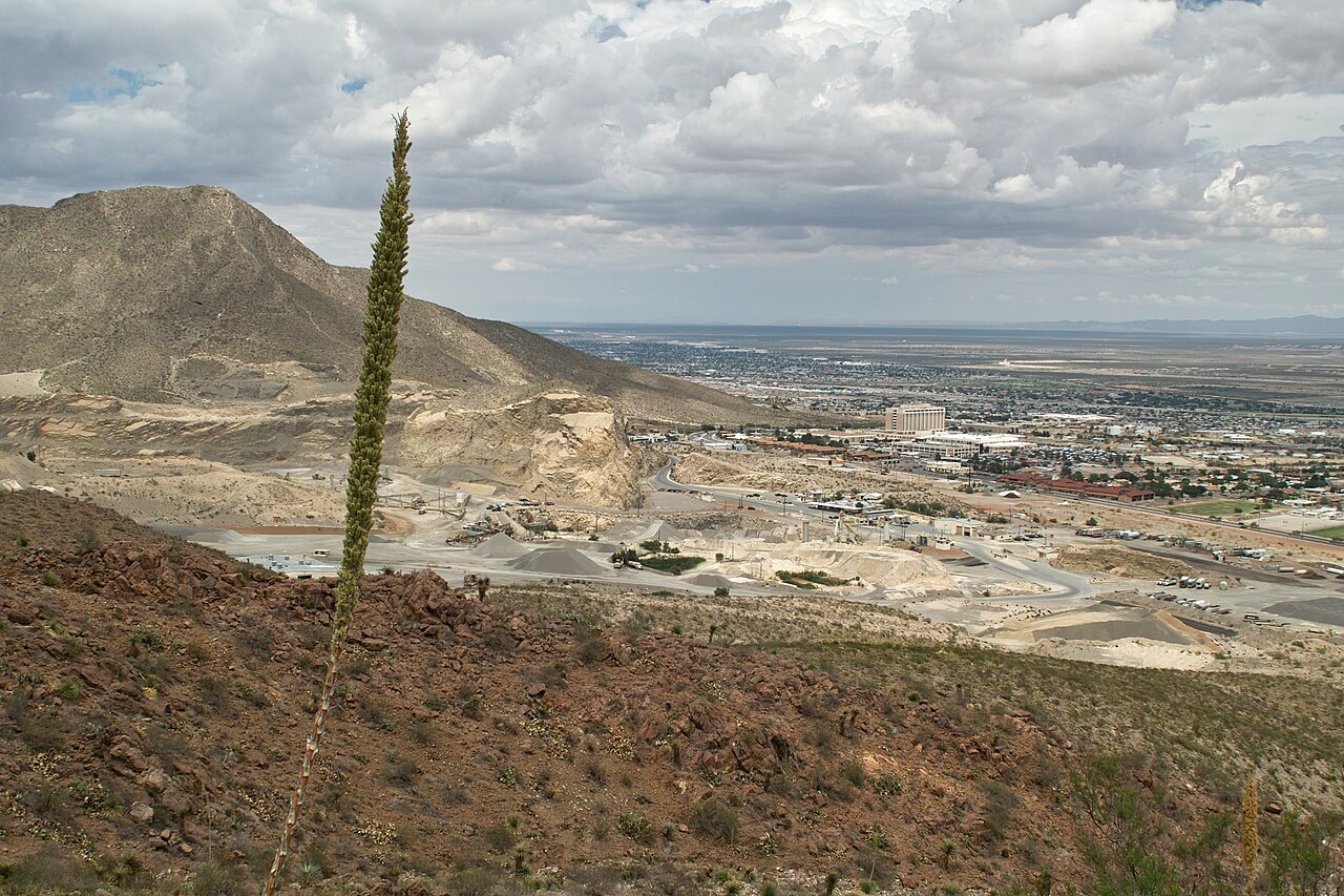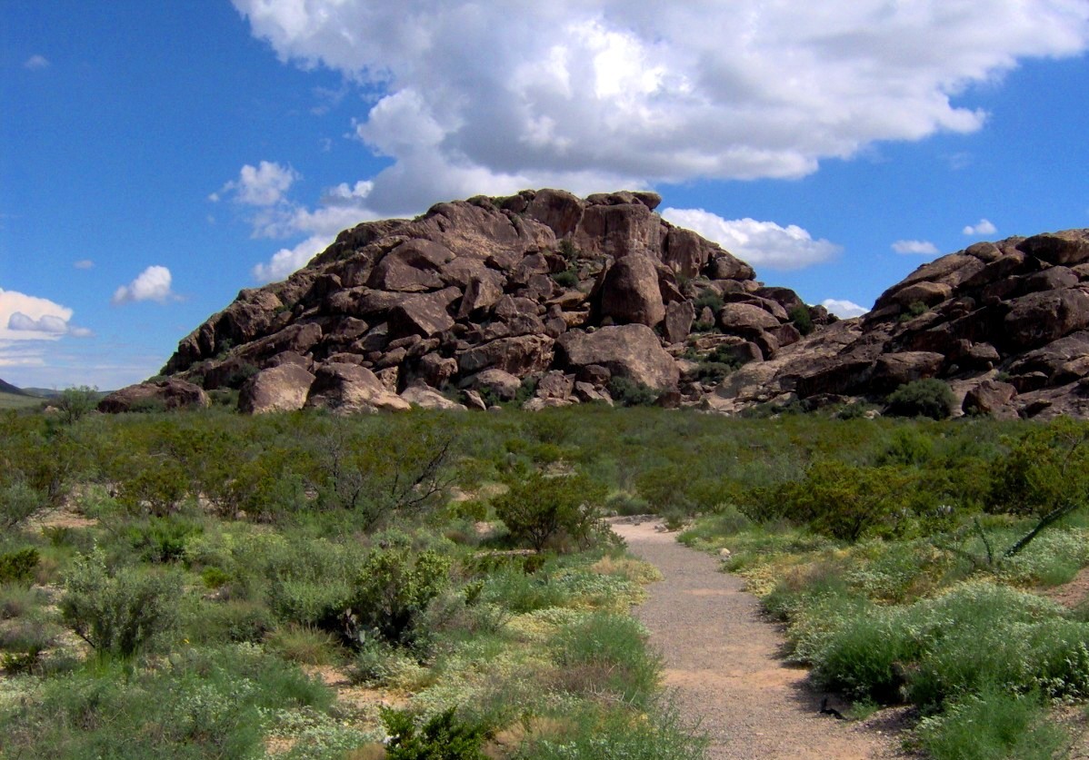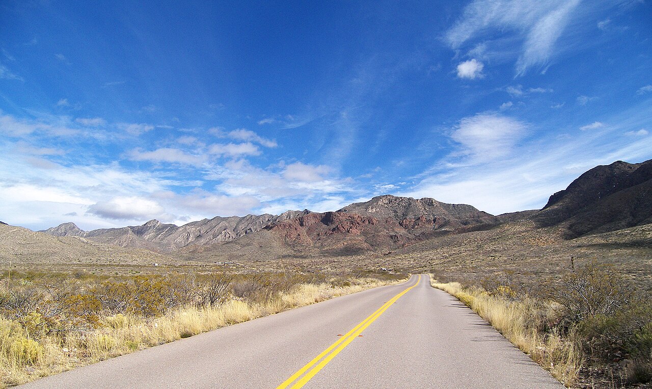
The Franklin Mountains are the reason El Paso looks the way it does. The range rises directly out of the city, a tilted wall of limestone, granite and rhyolite that splits the town into east and west and ends only where the Rio Grande cuts through the Pass of the North. The state park protects more than twenty-four thousand acres of it, which makes it one of the largest urban wilderness parks in the country, and the rarity is the point: you can eat breakfast downtown and be on a ridge trail above seven thousand feet before the morning light has left the cliffs. Ocotillo, lechuguilla, prickly pear, yucca and creosote cover the lower slopes, mule deer and roadrunners are common, and the range holds a long list of lizards, raptors and the occasional mountain lion that nobody sees. The park is organized around a handful of access points rather than a single entrance, and the choice shapes the day. The Tom Mays Unit on the western side is the family-friendly gateway, with camping, a short interpretive trail, easy desert walking and a cool-weather picnic setting. The Transmountain Road corridor on the northeast side opens the Lost Dog and Ron Coleman Trails and the shortcut to Mundy's Gap. McKelligon Canyon on the southeast, tucked behind the Scenic Drive area, offers shorter climbs with a view that opens suddenly over the city.
Hikers choose from more than a hundred miles of marked and unmarked routes, from easy half-hour strolls to the serious climb toward North Franklin Peak, which tops out at roughly 7,192 feet and is the highest point in the range. Intermediate hikers favor the Lost Dog Trail, a rocky loop with reliable views, and the Aztec Caves route, a steep scramble to a pair of shallow caves with a wide outlook.
Mountain bikers have their own network of technical desert singletrack, rock climbers work the canyon walls, and casual visitors can simply park, walk twenty minutes up a trail and sit on a boulder to watch the sky change color. Sunrise and the last hour of daylight are the best light, and the wide view of the city grid, the border and the lights of Ciudad Juarez after dark is the signature photograph.
Plan for the desert rather than the postcard. Summer afternoons are hot and the trails offer almost no shade, so start at dawn from late spring through early autumn, carry more water than you think you need, and wear real shoes with a hat and sunscreen. Winter days are mild and often the best hiking of the year, though the high ridges can be windy and cold, and short rain events can make the arroyos slick or briefly impassable.
Cell coverage is patchy on the back side, so download a map before you go. Check the state park's page for day-use fees, gate hours and any seasonal trail closures, and keep dogs on a leash and off the more fragile slopes.
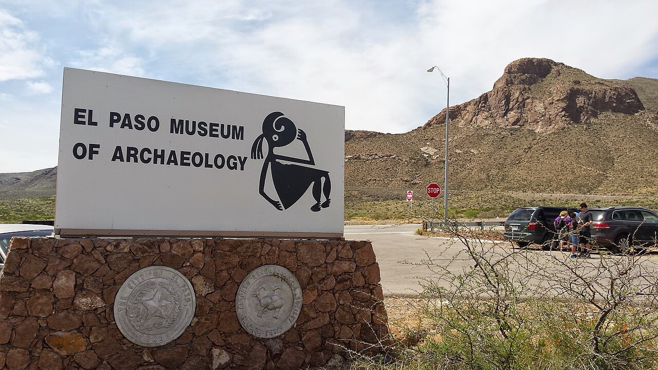
The park rewards a flexible schedule. Pair a sunrise hike with a long breakfast of breakfast burritos downtown, or combine a morning on the trail with an afternoon at the nearby Museum of Archaeology and the Border Patrol Museum, both close to Transmountain Road. Families with small children should look for the shorter loops near the Tom Mays picnic area, while experienced hikers can stitch together a longer day with a map and a shuttle.
However you use it, a visit to the Franklin Mountains explains why people who live in El Paso are so fond of a city that visitors often drive straight through.
What to expect
The experience
A self-guided state park with several access points, marked trails of every difficulty, camping, climbing and mountain biking, and big city views from the ridges.
Best time
Sunrise and the last hour before sunset; October to April for comfortable hiking, with summer starts at dawn.
How long
Two hours for an easy trail, a full day for a peak attempt.
Tips
Carry plenty of water, start early in warm months, download a trail map before you go, and check the park page for fees and closures.
Quick picks
- Best for
- Hikers, photographers and anyone who wants the desert without leaving the city.
- Families
- Short loops near the Tom Mays picnic area work well; save the steep scrambles for older kids.
- Couples
- Sunset on a ridge trail with the city lights coming on below.
- Pair with
- The Wyler Aerial Tramway, Scenic Drive overlook and the Museum of Archaeology on Transmountain Road.
- Time needed
- Two hours to a full day.
Good questions
How big is Franklin Mountains State Park?+
It covers more than 24,000 acres inside El Paso, making it one of the largest urban wilderness parks in the United States, with over a hundred miles of trails.
What is the best trail for a first visit?+
The Lost Dog Trail is a popular intermediate loop with good views, while the Tom Mays area offers easier walking. Check the park page for current trail conditions.
When should I hike?+
Autumn through spring is the most comfortable. In summer, start at dawn and finish before the afternoon heat, since shade is scarce.
Can I camp in the park?+
Yes, the Tom Mays Unit has camping. Reserve through the state park system and check seasonal availability and fire restrictions.
Is there a fee?+
The park charges a day-use fee at most access points. Confirm the current amount and accepted payment on the park page before you go.