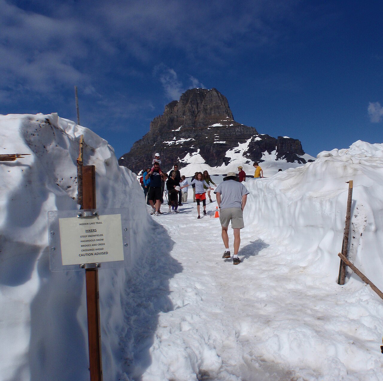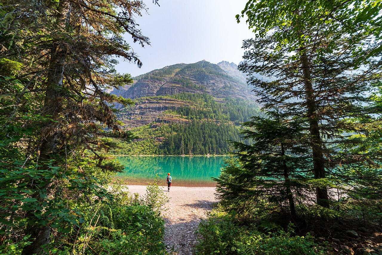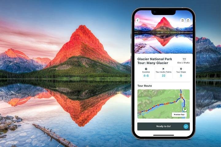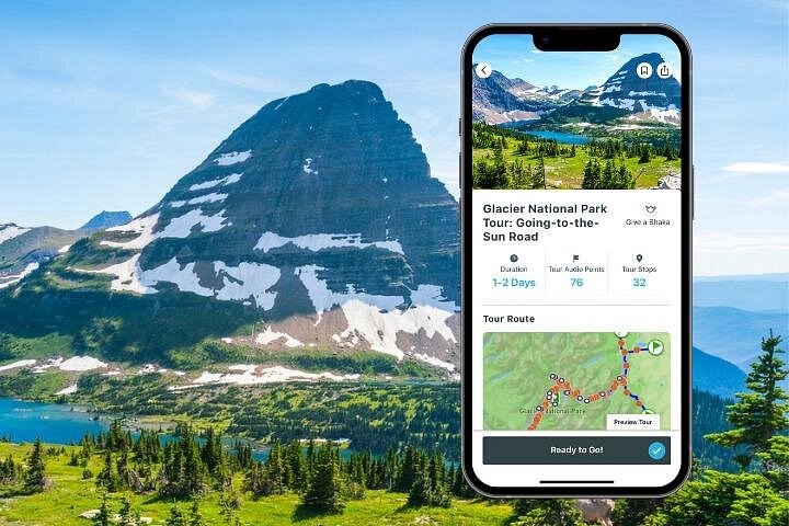
Going-to-the-Sun Road is the reason many people come to Glacier at all. Completed in 1932 after more than a decade of blasting and masonry, the road climbs from the cedar forests around Lake McDonald on the west side up to Logan Pass at the Continental Divide, then drops down the east side past Jackson Glacier Overlook and St. Mary Lake to the Rising Sun area. It is about fifty miles end to end, but the drive is never a quick one: narrow shoulders, hairpins at the Loop and Big Bend, a stretch cut into the cliff face at the Weeping Wall, and a steady parade of pullouts that you will want to use. The road is a National Historic Landmark, and its stone parapets and tunnels are as much a part of the scenery as the peaks. A self-guided audio tour is the easiest way to get the story without a bus seat. It plays on your own phone, follows your position along the road and tells you what you are looking at: why the valley walls are U-shaped, how the road builders worked from both ends, which pullout has the best light on the Garden Wall. Because it is your own vehicle, you stop where you like and linger at the viewpoints that grab you.
Plan the road as a day, not a detour. From the west entrance, allow at least two hours of driving without stops and double it for a realistic trip with photographs, a walk at Trail of the Cedars and an hour at Logan Pass. The pass itself is the busiest place in the park, so aim for early morning or late afternoon, or ride a shuttle if the park is running one.
Vehicle length limits apply on the narrow section between Avalanche and Rising Sun, so check the dimensions of RVs and trailers before you start. The road is only fully open in summer, and snow can delay the opening into July, so confirm current conditions with the park before you plan around it.
Download the audio tour before you leave Wi-Fi, because cell coverage is patchy in the park. Drive west to east if you can start from Whitefish or Kalispell and sleep on the east side, or east to west if you are coming from St. Mary; both directions are rewarding, but westbound drivers have the lake and forest as a finale.
Keep extra water and a jacket in the car, since temperatures at the pass can be thirty degrees colder than in the valley. Wildlife jams do happen, and mountain goats and bighorn sheep are regulars near the pass.
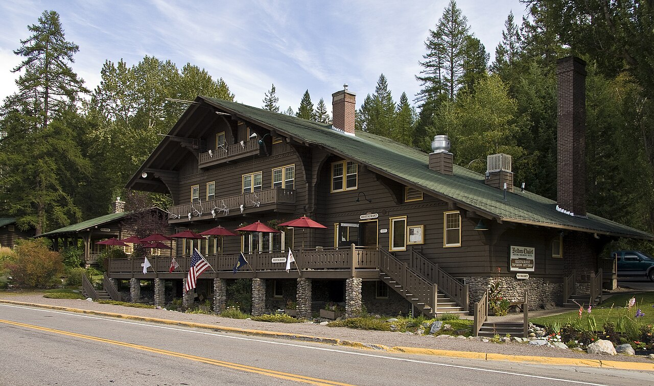
Pair the drive with Trail of the Cedars, the Hidden Lake Overlook at Logan Pass and a lunch stop at Lake McDonald Lodge or in Apgar Village, and you have a first-time itinerary that covers the highlights of the park in a single long day.
Consider the direction and timing of your drive before you set out. Many first-time visitors drive the road from the west because it is closest to the airport and Whitefish, but there is a strong case for starting on the east side if you are staying in St. Mary or Many Glacier. Whichever way you go, fill your fuel tank and pack food before the road, because there are very few services between Apgar and St.
Mary. Keep an eye on the weather forecast for the pass, where fog or storms can hide the views entirely. If the forecast is poor, switch your plans to the lower elevations and try the road again the next day. Children, older travelers and anyone prone to motion sickness should plan for frequent stops, since the road is curvy and slow. Finally, remember that cyclists, buses and wildlife share the lanes, so patience is as important as a full tank.
What to expect
The experience
A self-guided drive of roughly fifty miles across the Continental Divide, narrated by an audio tour on your own device, with pullouts and short walks along the way.
Best time
Early morning or late afternoon for lighter traffic and softer light; the road is fully open only in summer and into early autumn, weather permitting.
How long
Allow four to eight hours including stops; more if you hike at Logan Pass.
Tips
Download the audio tour before you leave Wi-Fi. Check vehicle length limits for RVs, bring layers and water, and confirm road status and any shuttle or parking rules with the park before you go.
Quick picks
- Best for
- First-time visitors who want the park's signature sights in a single day.
- Families
- Good for kids who handle winding roads; build in short stops at Trail of the Cedars and the lake shore.
- Couples
- A sunrise or sunset drive with pullouts for photos is the classic Glacier date.
- Pair with
- Trail of the Cedars, Hidden Lake Overlook at Logan Pass and Lake McDonald.
- Time needed
- A full day is ideal; a half day covers the west side to the pass.
Good questions
How long is Going-to-the-Sun Road?+
About fifty miles from the west entrance near Apgar to the St. Mary area on the east side, crossing the Continental Divide at Logan Pass.
When is the road open?+
The full road is usually open only in summer and early autumn. Snow clearing and weather decide the dates, so check current conditions with the park.
Can I drive an RV on it?+
Size limits apply on the narrowest section between Avalanche and Rising Sun. Measure your vehicle against the posted limits before you start.
Do I need a guide?+
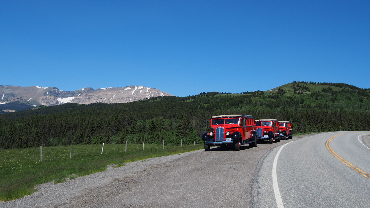
No. Many visitors drive themselves with an audio tour, or ride a Red Bus or shuttle if they prefer not to drive the curves.
Is there cell service?+
Coverage is patchy to absent along much of the road, so download maps and the audio tour in advance.