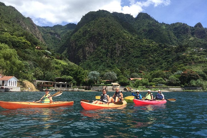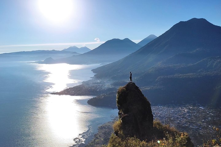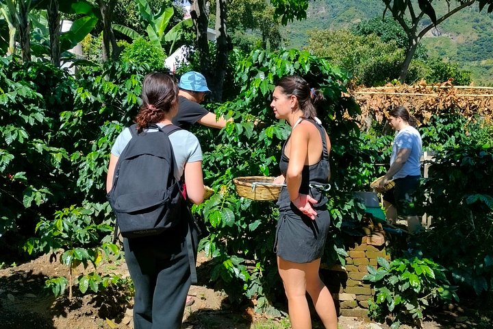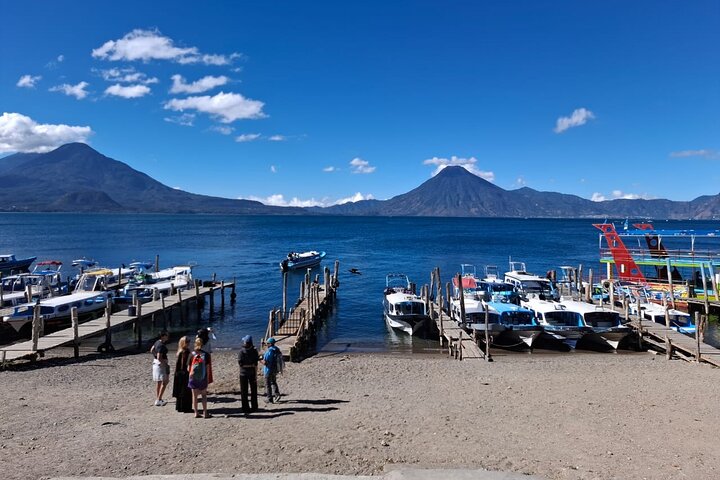
The Lower Mayan Trail is a network of old footpaths that follow the northern shore of Lake Atitlán, linking small villages that sit in the folds of the cliffs above the water. Before roads and boats connected the shoreline, these paths were how neighbors, farmers and traders moved between settlements, and some of them are still in daily use today. Walking them gives you a quiet, close-up view of the lake that you cannot get from a boat or a tuk-tuk. The trail passes through small farms, past shaded stretches of forest and along lookouts where the volcanoes stand across the water, and it often ends at a lakeside cafe or dock with a boat back. This guided tour starts from Panajachel and is a good match for travelers who want an active day that is much gentler than a volcano climb. A guide helps you link the right paths, explains what you are passing and arranges the logistics of the return, so you can spend the day looking at the lake instead of the map.
Why it is worth the walk
This is the most peaceful way to see the lake. You hear water, birds and farm sounds rather than engines, and you pass through the settlements that sit on the steep shoreline between the larger towns, such as the small communities near Santa Cruz La Laguna.
The trail rises and falls, so the views keep changing, and there are plenty of spots to stop for photographs. It is also a good way to understand how people have lived on the shore, with terraced plots, footbridges and little shops that serve passing walkers.
What to know before you go
The path is uneven in places, with steps, loose stones and some steep sections, so wear sturdy shoes with grip and bring a hat, sun protection, water and a rain shell. It is a moderate walk rather than an easy stroll, and it is best taken at an unhurried pace.
Bring a little cash for drinks and snacks along the way. Ask the operator how long the walk is, where it starts and ends, and how the return by boat or road is arranged, since the shoreline has few roads and the logistics are part of the service.
Making it work
This suits a morning or midday walk on a day without other plans, and it pairs well with lunch at a lakeside restaurant. Dry-season mornings, roughly November through April, give the best views and the most comfortable walking, while the wetter months make the trail muddier and the afternoons stormier.
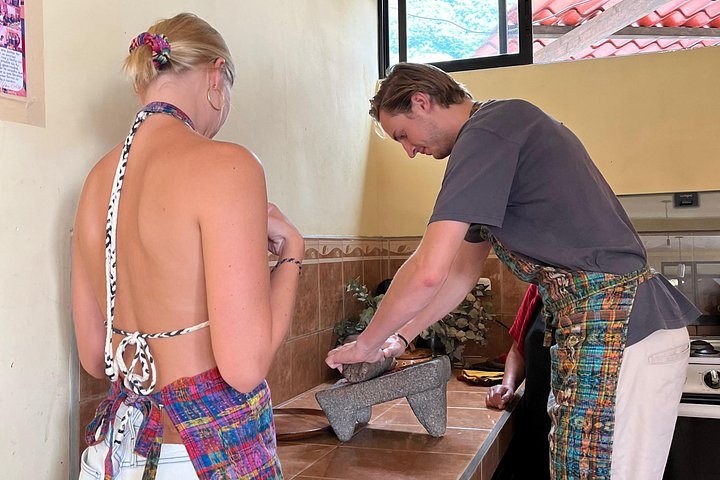
It is a good choice for travelers who have already done one of the bigger hikes and want a gentler day, or who would prefer to walk than to climb. It also combines naturally with the Santa Cruz cooking class or a stay at one of the quiet hotels on the northern shore.
Who it suits
The walk is a good fit for people who enjoy slow travel, photography and conversation with a guide, and it is a sensible warm-up for the bigger volcano days. It is less suited to anyone who dislikes steps or uneven ground, and it is not a good choice in heavy rain, when stretches of the path can be slippery. Tell the guide about any knee or ankle concerns, take your time on the descents and keep a few small bills handy for the cafes and shops along the way.
What to expect
The experience
A guided walk along old shoreline footpaths between small lake villages on the northern shore, starting from Panajachel.
Best time
A dry-season morning, roughly November through April, for the clearest views and the most comfortable walking.
How long
About half a day, depending on the route and how long you stop along the way.
Tips
Wear sturdy shoes with grip, bring water, a hat, sun protection and a rain shell, and carry a little cash for drinks.
Quick picks
- Best for
- Walkers who want a quiet, scenic day on the shoreline that is gentler than a volcano climb.
- Families
- Good for families with older children who enjoy walking. Some sections are steep and uneven.
- Couples
- A peaceful, scenic walk with plenty of places to stop and look at the water.
- Pair with
- Lunch at a lakeside restaurant, or the Santa Cruz Maya cooking class.
- Time needed
- Half a day, with time for a long lunch afterward.
Good questions
What is the Lower Mayan Trail?+
It is a network of old footpaths along the northern shore of Lake Atitlán that link small villages. Some of the paths are still used by residents, and they give quiet views of the water and the volcanoes.
How hard is the walk?+
It is a moderate walk with uneven ground, steps and some steep sections. You do not need to be an experienced hiker, but you should be comfortable walking for a few hours.
How do I get back?+
Operators typically arrange the return by boat or road, since the shoreline has few connecting roads. Confirm the end point and the return plan when you reserve.
What should I bring?+
Bring sturdy shoes, water, a hat, sun protection and a rain shell. A little cash is useful for drinks and snacks on the way.
When is the best time to walk it?+
Mornings in the dry season, roughly November through April, are the most comfortable and the clearest. The wetter months make the trail muddier and afternoons stormier.