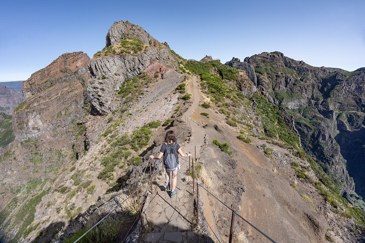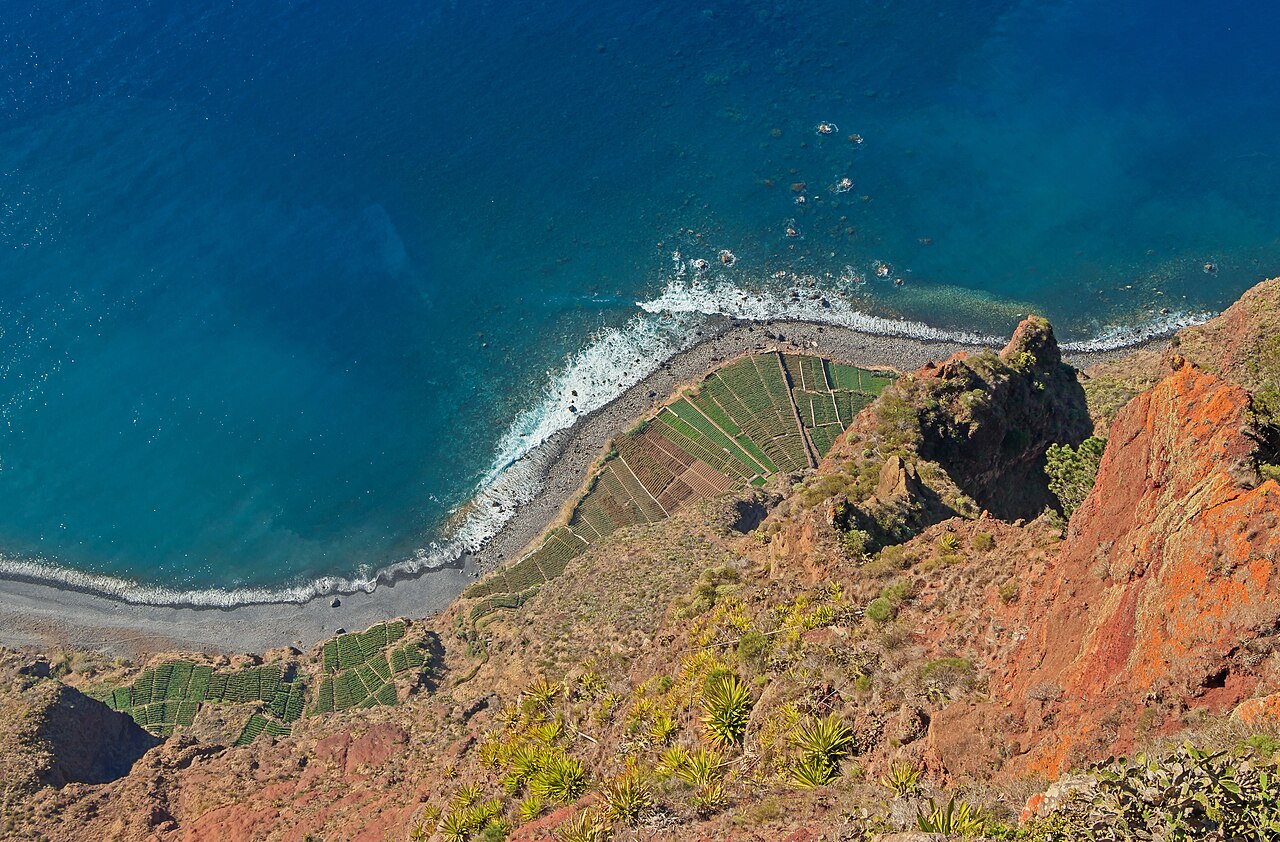
The Ponta de São Lourenço is the long, narrow headland at the eastern end of Madeira, and it looks nothing like the rest of the island. Instead of green forest and terraces, there are low scrubby hills, red, ochre and black volcanic cliffs and bright blue water on both sides, shaped by wind and salt. The PR8, the Vereda da Ponta de São Lourenço, is the main walking route and one of the most popular on the island. It begins at a car park near Baía d’Abra and follows a clear path over the spine of the peninsula, with steps, gentle climbs and sweeping views of cliffs and small coves. Along the way there are lookouts over the sea to the Ilhéu do Farol and, on clear days, the Desertas Islands in the distance. The headland is a protected nature reserve, with sea birds, lizards and hardy plants, and it feels exposed and open, with little shade. A few small beaches and rocky inlets can be reached on side paths, and the walk finishes at a small refreshment stop and a view of the cliffs falling into the sea. The route is a good alternative to the levadas for walkers who prefer open views to forest.
The walk
The PR8 is an out-and-back route of around eight kilometres in total, with the main sections gently undulating and the steeper parts marked by steps. Most people take around two to three hours, including stops for photographs, and the track is clear and well maintained. It is rated as moderate rather than easy because of the exposure, heat and uneven steps, but it does not need technical skill.
Because there is almost no shade, a hat, sunscreen and plenty of water are essential, and the wind can be strong, so a windproof layer is wise even on a warm day.
Booking and rules
Like other classified trails on Madeira, the PR8 may need registration through the regional trail portal and may carry a small fee for non-residents, so check the current requirements on the tourism board page before you go. Stay on the marked path to protect the vegetation and the nesting birds, and take your rubbish with you. There are limited facilities along the route, apart from a small kiosk near the end, so bring food and drink.
Getting there
The headland is about forty minutes by road from Funchal, near Caniçal, and most visitors come by hire car, taxi or a guided east-side tour that includes the peninsula with Pico do Arieiro and Santana. Parking near the start fills quickly in the middle of the day, so arrive in the morning, which is also cooler for walking. Public buses reach Caniçal but not the trailhead itself. Some operators also offer boat trips and sunset walks, and the sea around the headland is popular with divers and snorkellers.
Making the most of it
Go early or late to avoid the heat, and combine the walk with a swim at one of the small beaches near Caniçal or lunch in a harbour restaurant. If you are short on time, you can walk only the first section to the viewpoints and return, which still gives you the best of the scenery. The east is one of the island’s sunniest areas, so it is a good option on days when the mountains are in cloud.
What to expect
The experience
An out-and-back clifftop walk along a protected headland at the eastern tip of Madeira, with open sea views and almost no shade.
Best time
Early morning or late afternoon, when it is cooler, and on days when the mountains are cloudy.
How long
Two to three hours for the full walk, less if you turn back at the first viewpoints.
Tips
Bring a hat, sunscreen, water and a windproof layer, and check whether trail registration or a fee applies.
Quick picks
- Best for
- Walkers who want open coastal scenery and a break from forest and levada trails.
- Families
- Suitable for older children who can manage steps and heat, but not for small ones because of exposed edges.
- Couples
- Walk early for the light, then swim and have lunch in Caniçal.
- Pair with
- Santana, Pico do Arieiro or a swim and seafood lunch near Caniçal.
- Time needed
- A half-day with the drive.
Good questions
How long is the Ponta de São Lourenço walk?+
The PR8 is around eight kilometres out and back and takes most walkers two to three hours including photograph stops.
Is the Ponta de São Lourenço walk difficult?+
It is classed as moderate. There are steps and gentle climbs but no technical sections, though the sun, wind and lack of shade make water and a hat essential.
Do you need to book the PR8 trail?+
Classified trails in Madeira may require registration and a small fee for non-residents, so check the tourism board page for the current rules before you go.
How do I get to Ponta de São Lourenço from Funchal?+
It takes about forty minutes by road to the car park near Caniçal. Most visitors drive, take a taxi or join a guided east-side tour.
What is the best time to walk Ponta de São Lourenço?+
Go early in the morning or late in the afternoon for cooler temperatures and softer light. It is also a good choice on days when the mountains are in cloud.