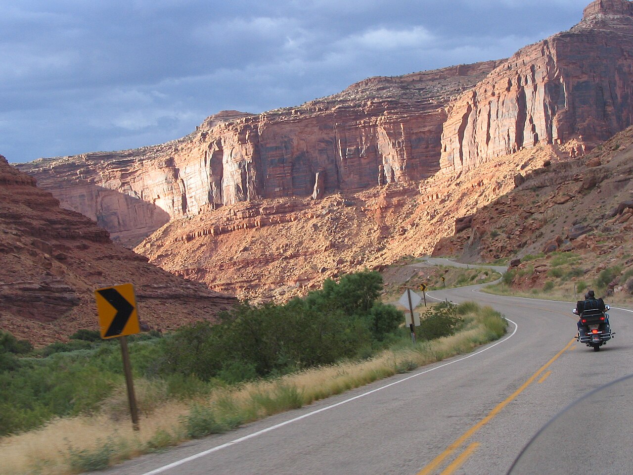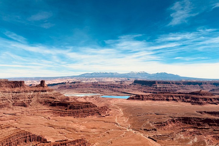
The La Sal Mountains rise above Moab to more than twelve thousand feet, and the loop road through them is one of the most rewarding drives in the area. The route leaves Highway 191 south of town, or Highway 128 by way of Castle Valley, and climbs steadily from slickrock desert into piñon and juniper, then aspen, spruce and fir, with gaps in the trees that open onto huge views of the red rock country below. Meadows, alpine lakes, trailheads and picnic spots punctuate the loop, which takes a few hours to drive at a relaxed pace with stops. Because the mountains are cooler than town by many degrees, the drive is a welcome escape in summer, a colorful outing when the aspens turn in autumn and a snowy contrast in winter and early spring, when the upper road is typically closed.
Seasons dictate access. The higher parts of the loop usually close with snow in the colder months, commonly from late autumn through late spring, so check road conditions before you set out. In summer, afternoon thunderstorms can build over the peaks, so plan to be down from high trails by midday. Autumn color usually peaks in the aspen stands for a short window, and weekends then bring traffic, so a weekday visit is more relaxed.
The road is paved in sections and gravel in others, and most passenger cars can manage it in dry weather, though narrow stretches and steep grades call for a careful driver. Fill your tank, bring water and food, and expect little or no mobile signal. There are no entry fees for driving the loop, since it is public national forest land, and it is free of the crowds that fill the arch parks. Respect forest rules, pack out trash and keep to designated roads.
Get out and walk. Short trails lead from the road to meadows and viewpoints, and longer hikes climb toward the high ridges for those equipped for altitude and changeable weather. If you want to combine the drive with a Moab afternoon, loop back through the town and recover at a riverside restaurant. For visitors traveling with children, the cool air, wildflowers and room to roam make the mountains a refreshing counterpoint to the arches. A self-guided audio tour exists for the route, but the road is straightforward to follow with a good map.
What to expect
The experience
A scenic loop drive of paved and gravel road through forest and meadows, with pullouts, trailheads and short walks.
Best time
Summer for cool air and wildflowers; autumn for aspen color; the upper road usually closes with snow in the cold months.
How long
Three to five hours with stops.
Tips
Check road conditions, fill your fuel tank, bring layers and food, and be off high ground before afternoon storms.
Quick picks
- Best for
- Travelers who want a cool, quiet change from the desert heat.
- Families
- Great for children who need space; stops at meadows and picnic spots break up the drive.
- Couples
- Pick a clear evening for views back across the red rock valleys.
- Pair with
- A morning in town and a stargazing night.
- Time needed
- Half a day.
Good questions
When is the La Sal Mountain Loop open?+
The upper road usually closes with snow in the colder months, commonly from late autumn through late spring. Check conditions before you go.
Do I need a four-wheel-drive vehicle?+
Most passenger cars manage it in dry weather, but narrow gravel and steep sections call for care.
Is there a fee?+
No entry fee applies for driving the loop, which runs through public national forest land.
When is the best time for fall color?+
Aspen color typically peaks in a short window in autumn, so check local reports.
Is there food on the loop?+
No. Bring food, water and extra layers, and fill your fuel tank in Moab.