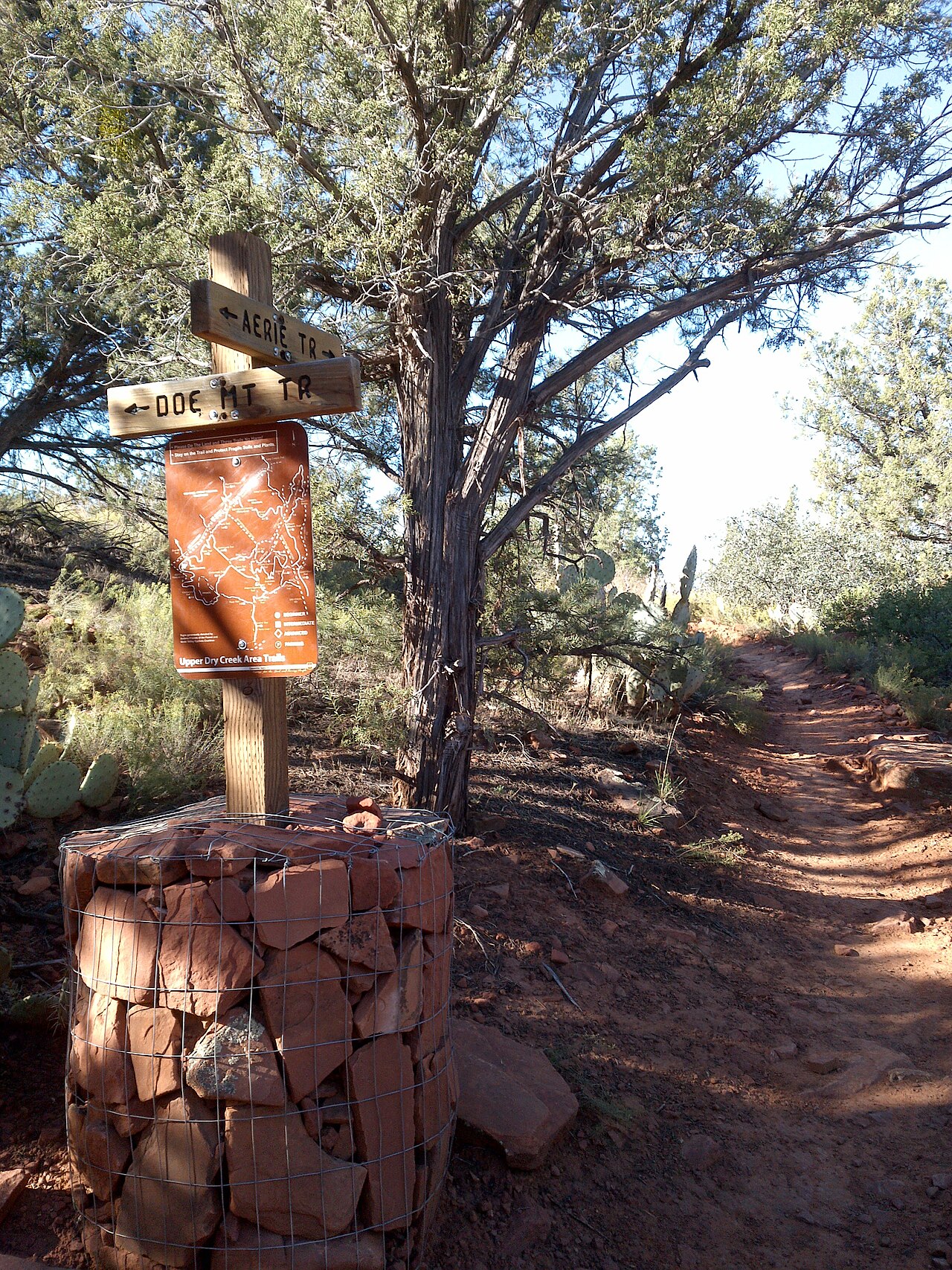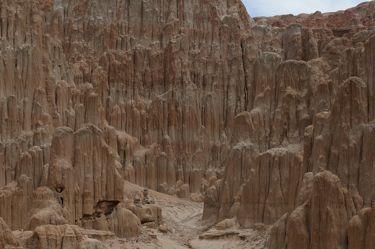
The Cockscomb Trail System is Sedona's answer to the visitor who wants to string together a hike of their own design. Near Dry Creek on the northern edge of town, a cluster of trails with names like Arizona Cypress, Dawa, Cockscomb, Rupp, Anaconda and Snake link into loops that run from about 2.5 miles to more than sixteen and take one to six hours. The grades are easy to moderate with little elevation change, the trails are well signed, and the shade is sparse, so it is a good place for steady walking, trail running and mountain biking rather than scrambling. The Cockscomb Trail skirts the face of Doe Mountain, Rupp crosses open ground with views in most directions, and Dawa and Arizona Cypress offer good vistas along the way. Four trailheads give access, including one shared with Fay Canyon, and a second trailhead can serve one-way hikes if you arrange transport. It is a choice for repeat visitors, cyclists and anyone who prefers a flexible route to a single out-and-back.
Choosing a route is the main decision. The Forest Service describes the individual trails by length: Arizona Cypress runs about 1.9 miles to the Girdner Trail, Dawa about 1.8 miles, Cockscomb 1.8 miles, Rupp 1.2 miles and Anaconda 1.7 miles, with Snake a short 0.4-mile return and OK acting as a connector. Combined, these make loops of nearly any length.
A sensible first outing is a loop of three to five miles from the trailhead you reach most easily, with the Cockscomb Trail below Doe Mountain as a scenic spine. Because the surface and grades are gentle, the system also suits trail runners, and mountain bikers will find it well suited to riding. Uses include hiking, horseback riding and mountain biking, so stay alert and yield appropriately on shared paths.
Preparation is straightforward. Shade is sparse, so bring sun protection and more water than you expect, and start early in warm months. The Arizona Cypress trailhead is not recommended for pets or horses that spook easily, because a target shooting pit is nearby, where shooting is allowed under the usual laws and safety guidelines. The trail page does not mention parking passes, but Red Rock Ranger District trailheads often require a Red Rock Pass, so carry one in case.
After heavy rain, the district has issued flooding alerts with many closures, and the page does not say whether the system is affected, so check the alerts page or call the Red Rock Ranger Visitor Center before you set off. Download an offline map, since the junctions are many and signage, while good, can still confuse.
Where does it fit? The trails make a good counterpart to the better-known canyon walks. Where Boynton Canyon and Fay Canyon give a single destination, Cockscomb gives open desert country, long views and the freedom to improvise, and it is quieter than the headline trailheads. Combine it with Doe Mountain for a short summit, or with Fay Canyon, whose trailhead is shared, for a mix of canyon and open terrain.
Cyclists staying in West Sedona can reach the area easily for a morning ride, and walkers wanting a calm, uncrowded hour can do a short loop and be back for brunch. If you hike one route only, make it Rupp or the Cockscomb Trail for the best balance of views and easy walking.
What to expect
The experience
A network of signed trails with easy to moderate grades, from short loops of about 2.5 miles to circuits of 16-plus miles, open to hikers, riders and mountain bikers.
Best time
Early morning in warm months; spring and autumn are the most comfortable.
How long
One to six hours depending on the loop you build.
Tips
Bring extra water and sun protection, download an offline map, avoid the Arizona Cypress trailhead with nervous pets, and check Red Rock Ranger District alerts for closures.
Quick picks
- Best for
- Hikers, runners and bikers who like building their own loop.
- Families
- Easy grades suit families with older children on shorter loops.
- Couples
- Quiet, open-country walking with long views.
- Pair with
- Doe Mountain or Fay Canyon, which share the area.
- Time needed
- One to three hours for a typical loop.
Good questions
How long are the loops?+
Combined loops run from about 2.5 miles to more than 16 miles, taking roughly one to six hours.
How hard are the trails?+
Easy to moderately strenuous, with easy to moderate grades and little elevation change. Shade is sparse.
Can I mountain bike here?+
Yes. The trails are open to mountain biking, hiking and horseback riding, so share the trail courteously.
Where are the trailheads?+
Arizona Cypress, Dawa, Cockscomb (shared with Fay Canyon) and Girdner, all on the northern edge of Sedona near Dry Creek.
Is there anything to watch for?+
A target shooting pit near the Arizona Cypress trailhead, and flood closures in the district, so check alerts before you go.