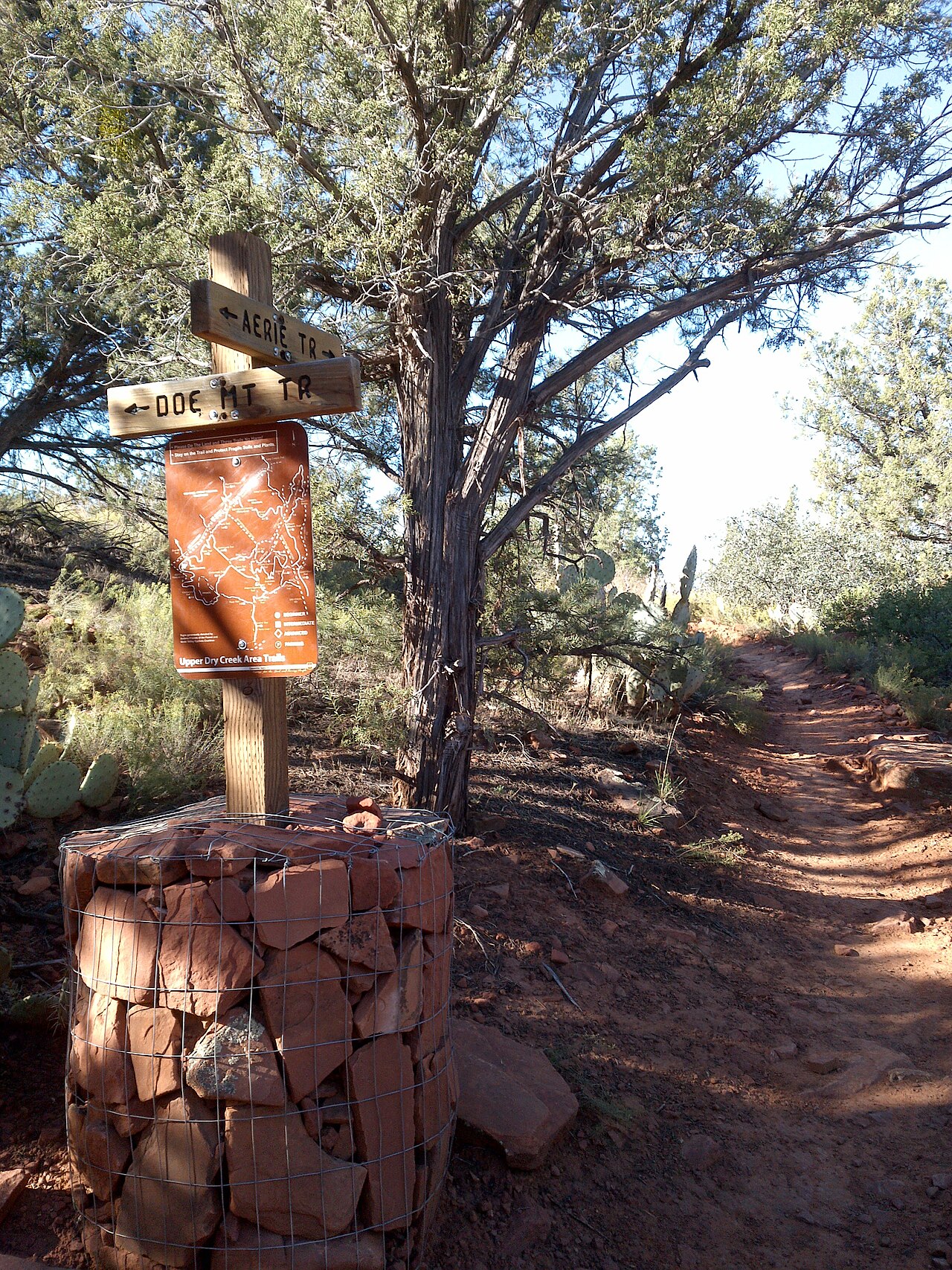
Doe Mountain is the hike for people who want a big view without a big day. The Forest Service describes Trail No. 60 as a moderately challenging route of 0.7 miles to the top of the mesa and 1.3 miles around its edge, with an elevation gain of 542 feet from a trailhead at about 4,615 feet, and it typically takes about an hour and a half. The climb is steep but short, and once on top the mesa is flat enough for an easy walk around the rim. From the summit you can look across to Bear, Maroon and Wilson mountains, Boynton, Secret and Loy canyons, Chimney Rock and the Cockscomb, with Sedona visible to the east and south and the Verde Valley beyond Munds Mountain and Sycamore Pass. It is a popular sunrise and sunset objective because the open rim gives unobstructed light, and it is a good choice for families with active children and for visitors who want a satisfying hike without committing to a long canyon.
The trailhead is in the Boynton Canyon area, roughly five miles from town: from Sedona you drive north on Dry Creek Road (Forest Road 152C) about three miles to the Boynton Canyon intersection, turn left and continue about a mile. A Red Rock Pass or America the Beautiful Pass is required for parking at the trailhead. The parking area is not huge, and popular times fill it, so an early start is the best strategy; sunrise and sunset visits mean arriving before first light or leaving in fading light, so carry a headlamp.
Because the rim is open and exposed, summer midday heat can be intense and wind can be strong, so bring water and dress for the conditions. The surface is mostly natural ground, with rocky steps on the climb, so wear shoes with grip.
The rim walk is the heart of the experience. On top, the trail loops around the edge of the mesa and gives constantly changing views, and you can wander away from the main path for photographs, though staying on the established route protects fragile soil. Take your time, because the best light comes in the golden hours and the long walk around the rim is easy once the climb is done.
Dogs and bikes are not mentioned on the trail page, so check current rules before bringing either. After heavy rain, the Red Rock Ranger District has issued alerts about flooding and closures, and the page does not say whether this trail is affected, so check the district alerts or call the Red Rock Ranger Visitor Center before heading out.
How does it compare with Sedona's other hikes? It is shorter and usually quieter than Cathedral Rock or Devil's Bridge, and it delivers a similar sense of height, so it works well as a second-tier objective when the famous trailheads are full. It sits near the Boynton Canyon and Fay Canyon trailheads, which makes it easy to combine with a canyon walk, and it pairs well with a late lunch in West Sedona.
Visitors seeking vortex energy often mention the Boynton area, and a morning on Doe Mountain is a good way to feel the open space that people respond to. If you have one spare morning in Sedona and want a hike that is rewarding, scenic and manageable, this is a very good pick.
What to expect
The experience
A moderately challenging climb of 0.7 miles to a flat mesa top with a 1.3-mile rim walk, 542 feet of gain, and a Red Rock Pass or America the Beautiful Pass needed for parking.
Best time
Sunrise and sunset for light and cooler air; summer midday is hot and exposed.
How long
About an hour and a half.
Tips
Arrive early for parking, carry water and a headlamp for twilight visits, wear shoes with grip, and check the Red Rock Ranger District alerts for flood closures.
Quick picks
- Best for
- Hikers who want a big view from a short, steep climb.
- Families
- Good for active children who can handle a steep climb and exposed edges.
- Couples
- A classic sunrise or sunset rim walk with open views.
- Pair with
- Fay Canyon or Boynton Canyon, then lunch in West Sedona.
- Time needed
- Two hours including the drive from town.
Good questions
How long is the Doe Mountain trail?+
0.7 miles to the top of the mesa and 1.3 miles around the edge, with 542 feet of elevation gain.
How long does the hike take?+
About an hour and a half.
Do I need a pass?+
Yes. A Red Rock Pass or America the Beautiful Pass is required for parking at the trailhead.
What can I see from the top?+
Boynton, Secret and Loy canyons, Chimney Rock, the Cockscomb, Bear, Maroon and Wilson mountains, and views toward Sedona and the Verde Valley.
Is the trail ever closed?+
Flooding can cause closures in the district, so check the Red Rock Ranger District alerts or call the visitor center before you go.