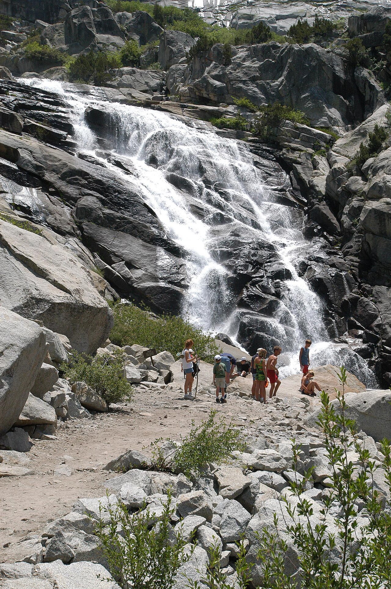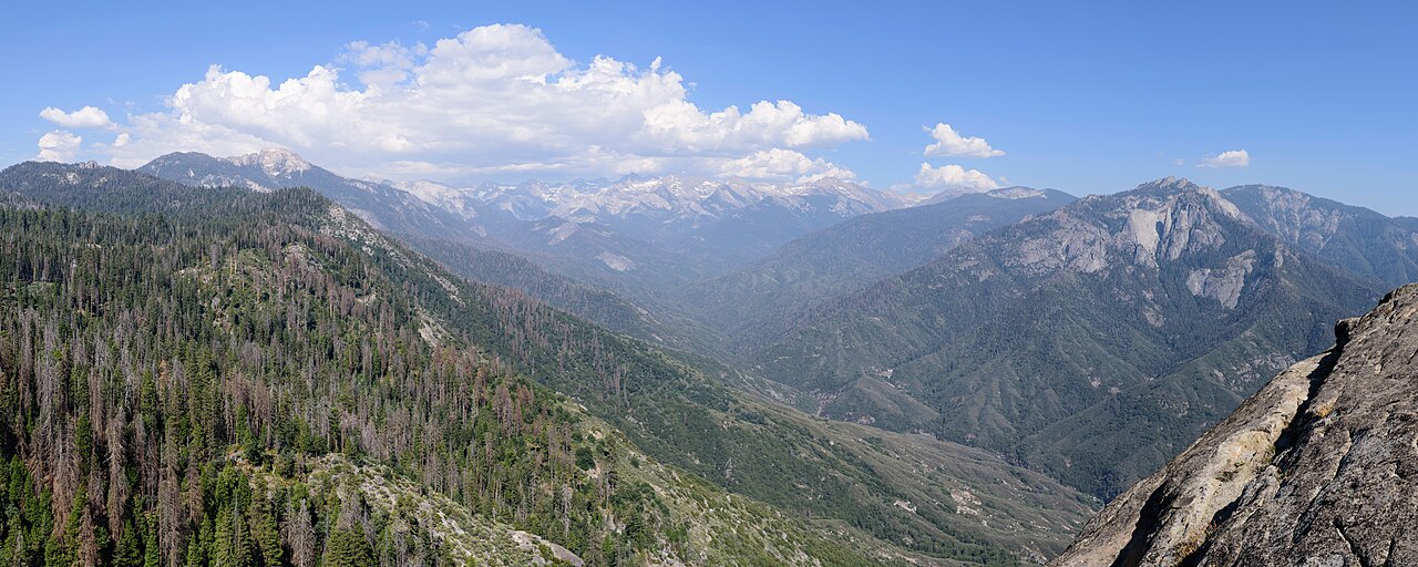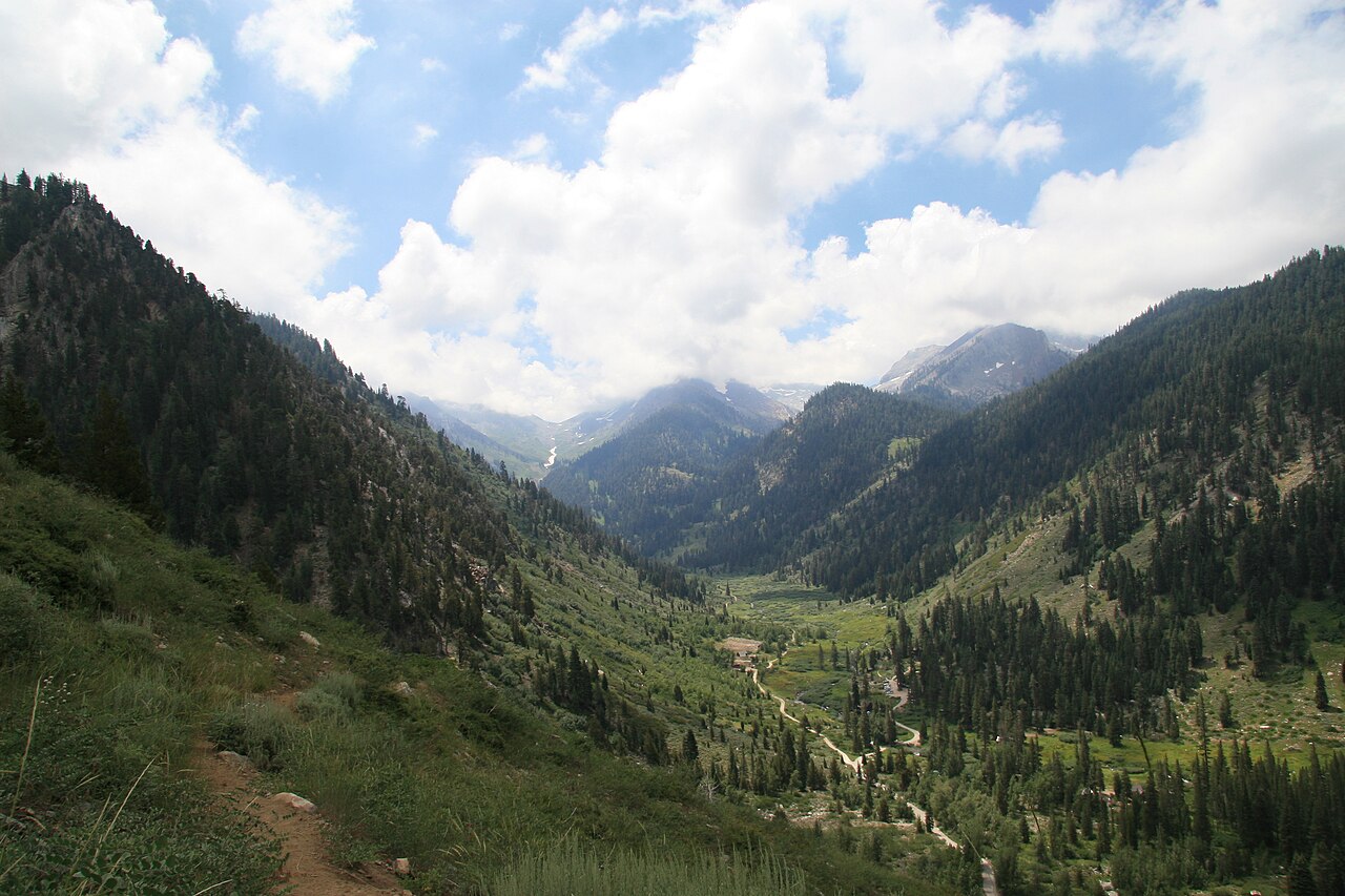
Mineral King is the most remote and least visited corner of Sequoia National Park, and for travelers who like quiet, that is the point. It is a high glacial valley in the southern part of the park, ringed by jagged peaks, and reached by a road that begins near Three Rivers and climbs about twenty-five winding miles to the trailheads. Driving it takes roughly an hour and a half, the road is narrow with sharp curves and drop-offs, and trailers and large vehicles are not recommended, so it is not a place for a rushed itinerary. The name comes from the silver rush of the 1870s, when prospectors claimed the valley and built mills and tramways, although little silver was ever extracted. In the 1960s the Walt Disney company proposed a major ski resort here, a plan fought by conservationists and eventually abandoned, and in 1978 Congress added Mineral King to the national park. Today the valley offers short and long hikes through meadows, subalpine forest and around lakes, with views of Sawtooth Peak and Mount Eisen. The trailheads near the end of the road lead to places such as Eagle Lake, White Chief and Monarch Lakes, with distances and elevation gain that range from a gentle stroll to a demanding day hike. Marmots, deer and, in the right season, wildflower displays make the valley especially rewarding in early to mid summer. The road is seasonal, generally open from late spring until snow closes it in autumn, and temporary closures can occur, so check conditions before you leave Three Rivers.
Who it suits. Mineral King is for hikers and drivers who enjoy a long, scenic journey and a quiet destination. If you are short on time or nervous about mountain roads, the Giant Forest will deliver more per hour. If you have a full day, a sturdy car and an interest in wildflowers, history or alpine scenery, the valley is a highlight. Services are minimal, with a ranger station, a few campgrounds and a small seasonal store or lodging nearby, so bring food, water and fuel.
Hiking choices. Easy walks around the valley floor pass old mining cabins and meadows. Moderate hikes such as the trail to Eagle Lake climb a few miles through forest to glacial basins. Longer routes like Monarch Lakes and Sawtooth Pass deliver great views but require early starts and good fitness. At altitudes above 7,000 feet, afternoon thunderstorms are common in summer, so plan to be off high ground by early afternoon. Marmots sometimes chew car hoses and wires for salt, so many visitors wrap their tires or check their cars, and the rangers can advise.
Planning. Allow a full day for the drive and a hike. The road is typically open from late May to October but varies with snow, and it may have scheduled weekday closures for repairs. Cell service is absent for most of the route. Wilderness permits are required for overnight trips, and quotas may apply in summer. Many visitors base themselves in Three Rivers, which keeps the drive to a manageable morning journey and gives access to restaurants and lodging afterward.
Wildflowers and wildlife. The valley is known for its summer wildflower displays, and the best times are generally July and early August, depending on snowmelt. Look for marmots, deer, Clark's nutcrackers and, rarely, black bears. Pack a lunch, since services are scarce, and keep your food secured. Because the area is remote, tell someone your plans before you go, carry a map and do not rely on a phone for navigation.
What to expect
The experience
A twenty-five-mile mountain road from Three Rivers to a high glacial valley with trailheads for day hikes and backpacking.
Best time
Early to mid summer for wildflowers and open roads; autumn for solitude when the road is still clear.
How long
A full day including the drive of about an hour and a half each way.
Tips
The road is narrow and unsuitable for large vehicles and trailers. Check conditions, carry water and food, and start hikes early to avoid afternoon storms.
Quick picks
- Best for
- Hikers who want solitude and alpine scenery.
- Families
- Easy valley-floor walks suit children, but the drive is long and winding.
- Couples
- A quiet picnic in a high meadow away from the crowds.
- Pair with
- A morning in Three Rivers before or after.
- Time needed
- A full day.
Good questions
How long is the drive to Mineral King?+
About twenty-five miles from Three Rivers on a narrow, winding road, taking roughly an hour and a half each way.
When is the road open?+
Generally from late spring until snow closes it in autumn, with occasional temporary closures. Check park road conditions first.
Are RVs allowed?+
Large vehicles and trailers are not recommended because of the narrow road and tight curves.
Why is Mineral King special?+
It is a remote glacial valley with a silver-mining past, a famous defeated ski resort plan, and trails to alpine lakes.
Are there services?+
Very few. Bring food, water and fuel, and expect little or no cell coverage.