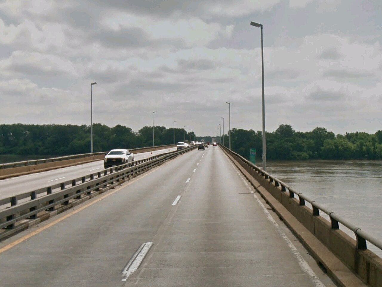
The Old Chain of Rocks Bridge is one of the most unusual places in the St. Louis area, a mile-long steel bridge over the Mississippi that carried the Mother Road, Route 66, and now carries only walkers and cyclists. Construction began in 1927 and the bridge opened in July 1929, at a cost of about $2.5 million, roughly twice the estimate, after floods and ice delayed the work. Its most remarkable feature is the bend about halfway across, which turns the roadway through roughly thirty degrees: it was introduced after riverboat captains objected that a straight route would send traffic dangerously close to the water intake towers of the Chain of Rocks pumping station. Route 66 was rerouted over the bridge in 1936, and it remained a landmark for travelers for more than three decades, until a new I-270 bridge opened in 1967 and the old crossing closed in 1968. After restoration it reopened in 1999 as part of the Route 66 bikeway, and it was listed on the National Register of Historic Places in 2006. The Chain of Rocks Bridge Park on the Missouri side reopened in April 2024 after nearly a year of renovations, with a picnic pavilion, drinking fountains, restrooms and a 1.5-acre reconstructed prairie. Today the bridge is free, quiet and atmospheric, a place to stand above the river, look at the intake towers and think about the road trips that once crossed here. It suits cyclists, history fans and anyone who likes a view with a story.
How to visit
The bridge connects the Missouri side, at 10820 Riverview Drive in north St. Louis, to the Illinois side, and it is open to pedestrians and cyclists only. The park is open daily from 7:30 until 30 minutes after sunset, according to recent reporting, but check with Great Rivers Greenway or the National Park Service for current hours before you go.
Free parking is available at the Illinois bridge entrance and at North Riverfront Park, south of the bridge along the Riverfront Trail. The bridge links to the Confluence Trail, the Mississippi River Trail and the St. Louis Riverfront Trail.
What to expect
The walk across is about a mile each way on a flat deck, with railings, wide views of the river and a gentle bend midway. There is little shade and little shelter, so bring water and sun protection in summer and wear layers in winter, when the wind off the river is sharp.
The Missouri-side park has toilets, drinking fountains and a pavilion, which makes it suitable for a picnic. Cyclists can combine the crossing with longer rides on the riverfront trails, but bike rental is not something to count on, so bring your own.
Making the most of it
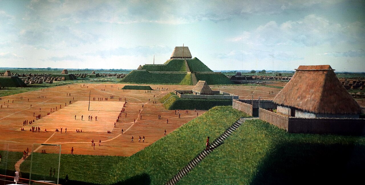
Go in the morning or toward sunset, when the light on the water is best and the bridge is least busy. It is a natural addition to a Route 66 road trip, a ride along the riverfront, or a day that also takes in Cahokia Mounds across the river in Illinois.
Because it is not in the center of the city, a car or bike is the practical way to get there, and a rideshare back is usually easy to find. It is free, so it is one of the best-value experiences in the metro area.
What to expect
The experience
A free, self-guided walk or bike ride across a mile-long former Route 66 bridge, with a riverside park on the Missouri side.
Best time
Morning or toward sunset, when the light is best and crowds are thin.
How long
One to two hours for the crossing and park.
Tips
Bring water and sun protection, wear layers in winter, bring your own bike and check current park hours.
Quick picks
- Best for
- Cyclists, Route 66 fans, photographers and history lovers.
- Families
- Fine for children who can walk a mile each way, with restrooms and a picnic pavilion in the park.
- Couples
- A quiet sunset walk over the river.
- Pair with
- Cahokia Mounds or a ride along the Riverfront Trail.
- Time needed
- Allow one to two hours.
Good questions
Can cars cross the Chain of Rocks Bridge?+
No. The bridge is open only to pedestrians and cyclists; cars use the I-270 bridge that opened in 1967.
How long is the bridge?+
It is about a mile long, with a distinctive bend roughly halfway across.
Why does the bridge bend?+
The bend was added after riverboat operators objected that a straight route would put traffic too close to the Chain of Rocks water intake towers.
Is there parking?+
Free parking is available at the Illinois bridge entrance and at North Riverfront Park south of the bridge.
Is it free?+
Yes. There is no charge to walk or cycle across the bridge or to visit the park.