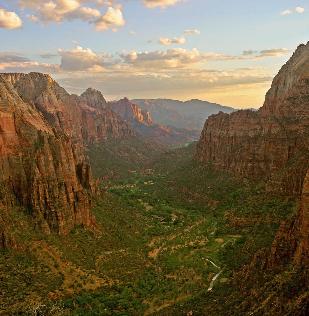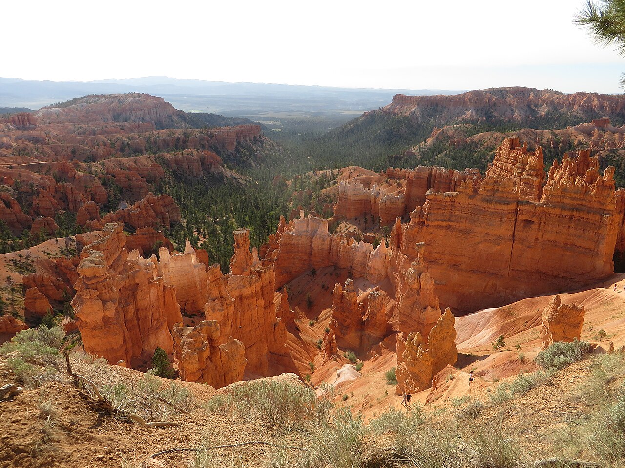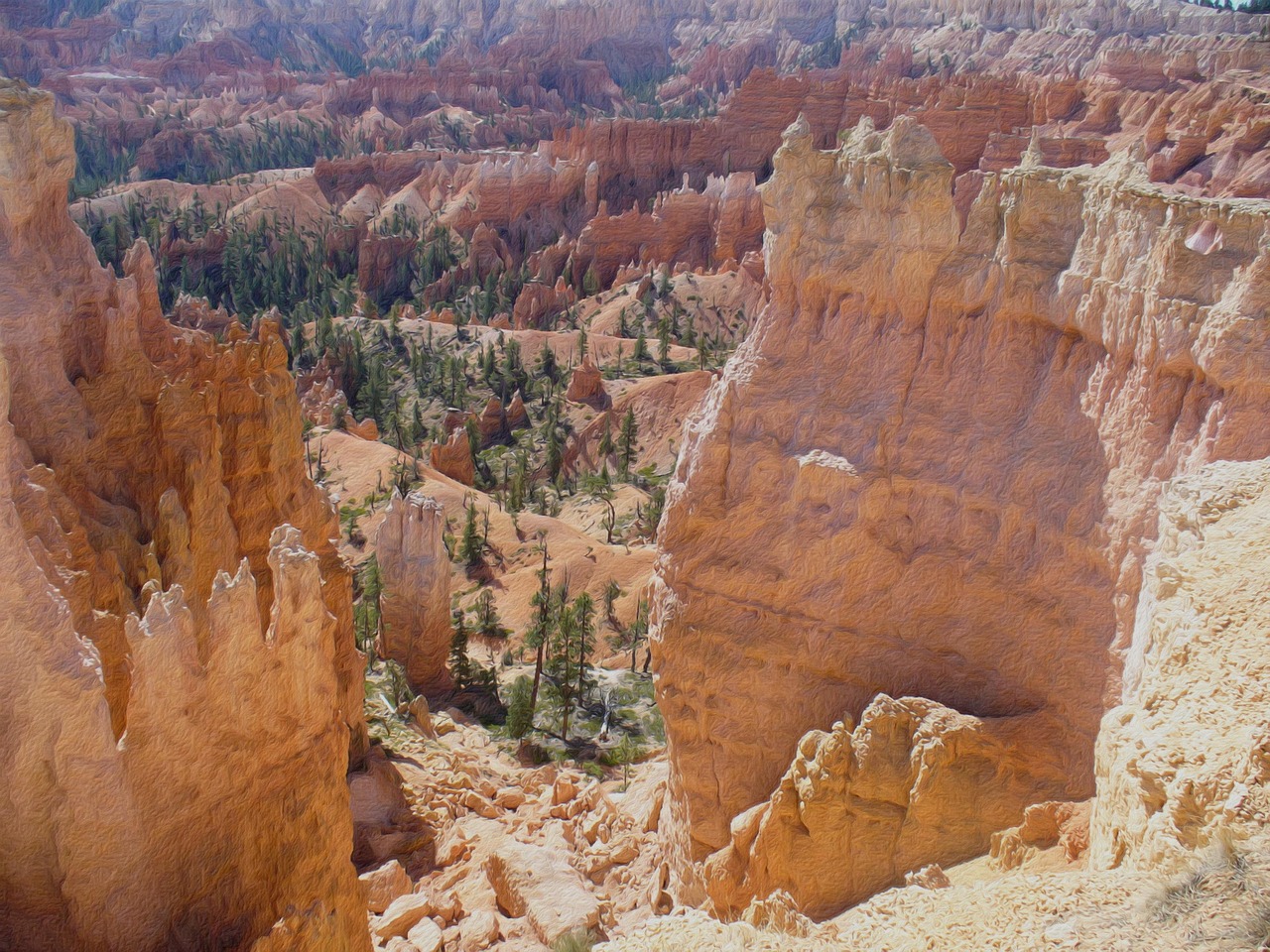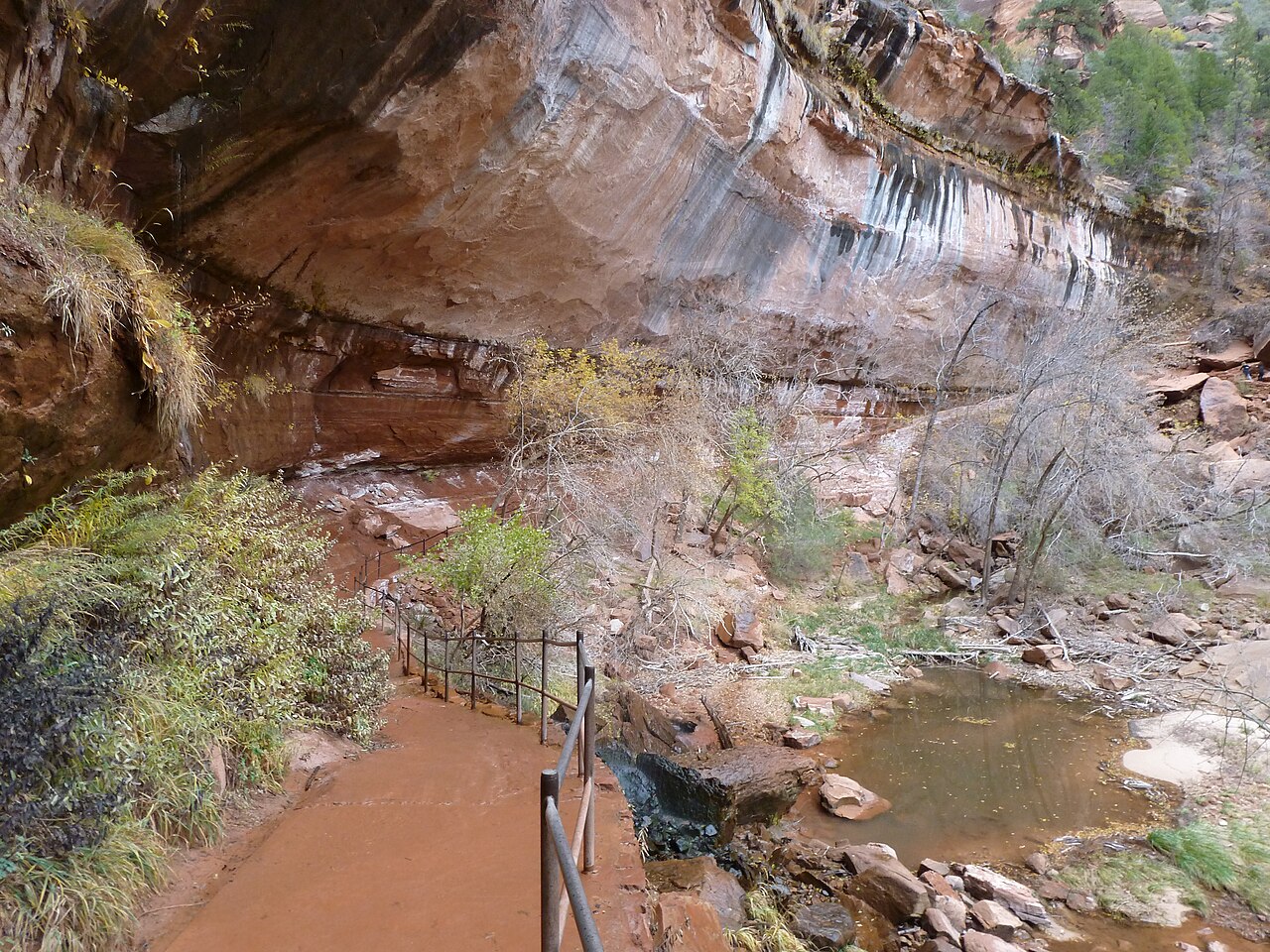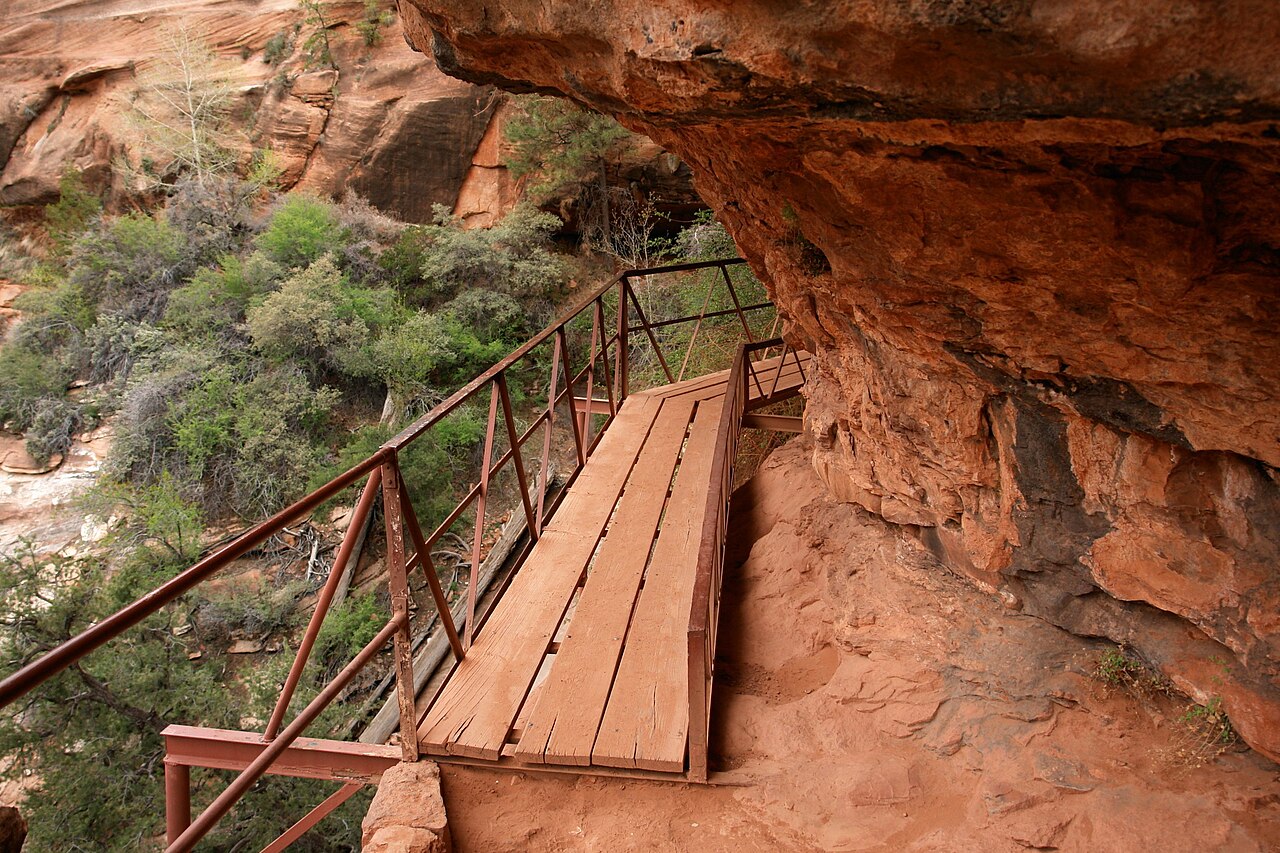
The Canyon Overlook Trail is the best short hike in Zion, and it starts right where the drive gets most dramatic. From the South Entrance, the Zion-Mount Carmel Highway climbs a series of tight switchbacks above Pine Creek and plunges into the Zion-Mount Carmel Tunnel, a historic bore through the sandstone that was completed in 1930 and is listed on the National Register of Historic Places. Emerge at the eastern portal and the trailhead is on your right. The walk is about a mile round trip with roughly 150 feet of climbing, and the National Park Service rates it moderate: sandstone steps with a metal handrail, a section along an undercut ledge where the overhang drops to about four feet, a short boardwalk over a side canyon, and steep pitches of up to 50 percent grade. It ends at a fenced cliff edge high above the Great Arch, with the whole of lower Zion Canyon spread out below — the switchbacks you just drove, the Streaked Wall, the West Temple and the Towers of the Virgin. Plan an hour or two. Pets are not allowed. The catch is parking: the main lot holds only a handful of cars, with a little overflow down the road, and in season the spaces turn over constantly; the park simply advises trying more than once. Desert bighorn sheep are often seen on the slickrock near the trailhead and along the highway, so drive slowly. The trail faces west and is superb in late afternoon, but the light at sunrise, when the canyon fills with gold from the east, is the photographer's favorite.
The Zion-Mount Carmel Highway is an attraction in itself, and 2026 was a reminder of how fragile it is. On September 30 a large rock formation collapsed onto the road, closing a portion of the highway; the park reopened the seven and a half miles from the East Entrance to the Great Arch Overlook on October 6 and the full route on October 9, with gravel in the damaged section and permanent repaving still to come. Drive the project area with care. Earlier in the fall, fiber optic installation brought overnight tunnel closures, now completed. Check the park's alerts page before you go, because snow, ice, rockfall and congestion can all close the road.
The tunnel shapes how you travel. It is long, dark and narrow, with gallery windows cut into the cliff, and it was built for the vehicles of the 1920s. Today, size restrictions apply to the entire stretch between Canyon Junction and the East Entrance: vehicles taller than 11 feet 4 inches, wider than 7 feet 10 inches or longer than about 35 feet 9 inches as single vehicles (50 feet combined) may not pass, measured including mirrors, racks and other attachments. Large vehicles that fit are handled through a tunnel pass and escort system that stops traffic for single-lane passage, so allow for delays. Pedestrians and bicycles may not use the tunnel. RV travelers should plan alternate routes around the park.
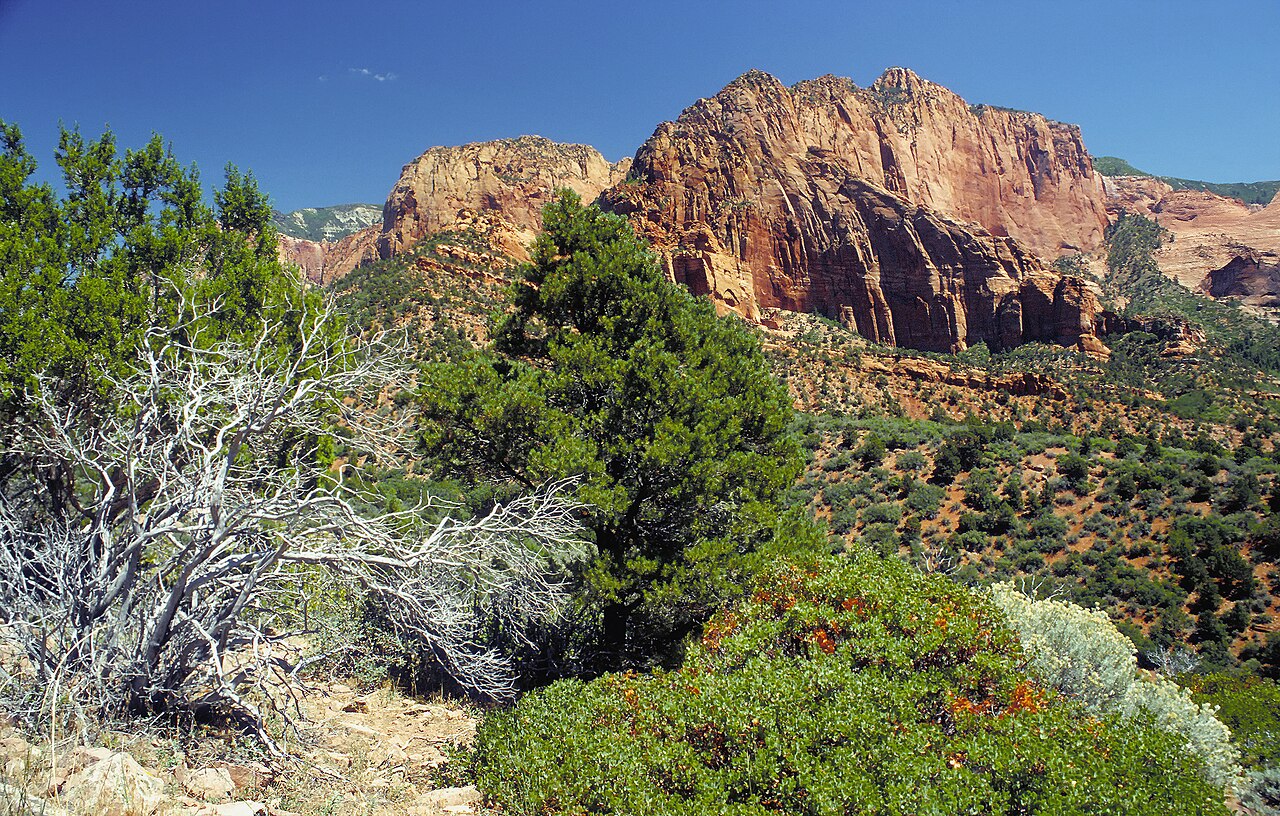
East of the tunnel the landscape changes completely. The road winds through the slickrock country of the upper plateau, past Checkerboard Mesa, its face etched in a crosshatch of cracks, to the East Entrance and Mount Carmel Junction, the gateway to Bryce Canyon, Kanab and the long road to Page and Antelope Canyon in Arizona. Pullouts along the way invite short scrambles on the sandstone, and the area is quieter than Zion Canyon even in peak season. Combine the Canyon Overlook with the drive to Bryce, or loop back to Springdale for dinner; either way, it is the hour of hiking that gives the most view for the effort in the park.
What to expect
The experience
A one-mile round-trip trail with about 150 feet of climbing on steps, ledges and a short boardwalk, ending at a fenced viewpoint over lower Zion Canyon; starts at the east portal of the Zion-Mount Carmel Tunnel.
Best time
Sunrise for light pouring into the canyon, or late afternoon; early morning for any chance of parking.
How long
One to two hours including the drive through the tunnel.
Tips
Parking is tiny — try more than once. Watch for bighorn sheep. Hold small hands on the ledge sections. Check alerts for rockfall work on the highway and tunnel size limits if you drive a large RV.
Quick picks
- Best for
- Anyone who wants a huge Zion view for a short, fun walk.
- Families
- Great for school-age kids who can stay close on the ledges; no pets allowed.
- Couples
- A sunrise walk to the overlook, then breakfast in Springdale or on the road to Bryce.
- Pair with
- The drive east past Checkerboard Mesa toward Bryce Canyon, or the Scenic Drive on the canyon floor.
- Time needed
- An hour or two.
Good questions
How long is the Canyon Overlook Trail?+
About a mile round trip with roughly 150 feet of climbing. Most people take an hour or two, including time at the viewpoint.
Where do I park?+
In the small lot just east of the Zion-Mount Carmel Tunnel, with a little overflow nearby. It fills quickly; arrive early or try again later.
Is the trail safe for kids?+
Generally yes. There are handrails on the steps and a fence at the end, but some ledges have drop-offs, so keep children close.
Is the Zion-Mount Carmel Highway open?+
Yes. A September 30, 2026 rockfall closed part of it; the park fully reopened the highway on October 9, with repaving still planned. Check the park alerts for current work.
Can my RV go through the tunnel?+
Only within the size limits — about 11 feet 4 inches high, 7 feet 10 inches wide and 35 feet 9 inches long for single vehicles — and larger vehicles that fit may need a tunnel escort. Oversize vehicles must use alternate routes.