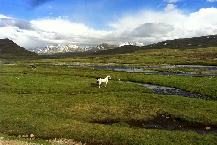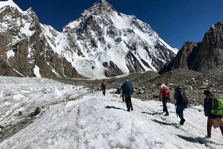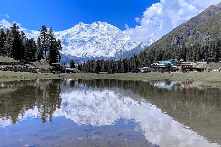
Fairy Meadows is the most famous viewpoint for Nanga Parbat, the ninth-highest mountain on earth at about 8,126 metres, often called Killer Mountain for its history of dramatic climbs. The grassy plateau sits in a pine forest at the foot of the peak's north face, and on a clear morning the ice-covered wall looks close enough to touch. The six-day trek linked here departs from Islamabad and runs up the Karakoram Highway to the Raikot Bridge area, where the adventure begins. A narrow jeep track climbs steeply to the roadhead, an experience in itself, followed by a forest walk of a few hours to the meadows, where simple wooden huts and campsites are the base. From there, the programme usually adds a hike toward Nanga Parbat Base Camp, with views of the Raikot Glacier and its moraines, before returning along the same route. The trip combines mountain scenery, rural villages, river valleys and a night or two of rustic comfort. It is demanding in the sense of altitude and rough conditions rather than technical difficulty, and a reasonable level of fitness is enough. Weather is the main variable: clouds can hide the mountain for days, while a clear sunrise from the meadows can be one of the best moments of a Pakistan trip. Because the season is limited by snow, most departures run in the warmer months.
When you book, check what is included, such as transport, jeep transfers, guides, porters, meals and accommodation, plus the plan if the track is blocked or weather turns. Pack layers, a warm sleeping layer, waterproofs, sturdy shoes, a headlamp and sun protection. Facilities are basic and phone coverage is limited. The jeep ride is bumpy and not for those who dislike heights, so ask the operator about conditions, and consider travel insurance that covers trekking.
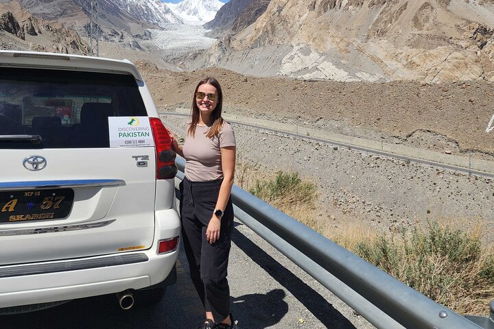
The route also gives you a long, scenic taste of the Karakoram Highway, with stops at viewpoints where the Indus, Gilgit and Hunza rivers meet. For many travellers the trip is the first step in a longer northern itinerary that continues to Hunza. Respect local customs, dress modestly in villages and carry cash, since there are few places to withdraw it. Check your government's current travel advice and local guidance before you travel, and ask the operator about route conditions, permits and the plan if weather or roads change.
A typical rhythm helps with planning. The first day is mostly driving, with an overnight stop along the Karakoram Highway at a town such as Chilas, where the road runs beside the Indus and the walls of the gorge rise high. On the second morning a convoy of jeeps climbs the steep track from the highway, and the ride itself can feel like an amusement park attraction and a test of nerves at the same time, with narrow ledges and sharp hairpins.
From the end of the track the walk through the pines takes a few hours at a gentle pace. The next day or two are for acclimatising, walking to viewpoints such as Beyal Camp and, for the keen, the base camp area, where the Raikot Glacier feeds a stream. Evenings are spent around a fire with tea and simple meals while the stars fill the sky. The return follows the same route, which gives a second chance for views that cloud hid on the way up.
What to expect
The experience
A six-day guided trip from Islamabad with a Karakoram Highway drive, a jeep transfer, a forest hike to Fairy Meadows and a trek toward Nanga Parbat Base Camp.
Best time
The warmer months, when snow has cleared; clear mornings give the best views.
How long
Six days from Islamabad.
Tips
Pack layers and waterproofs, carry cash, confirm inclusions and weather plans, and take insurance that covers trekking.
Quick picks
- Best for
- Active travellers who want a big mountain view without technical climbing.
- Families
- Better for teenagers and fit older children than for young kids because of the jeep track and hike.
- Couples
- Sunrise on the face of Nanga Parbat from a wooden hut.
- Pair with
- Hunza Valley for a longer northern itinerary.
- Time needed
- Six days.
Good questions
How high is Nanga Parbat?+
About 8,126 metres, making it the ninth-highest mountain in the world.
Is the trek difficult?+
It is demanding for altitude and rough terrain but not technical. Reasonable fitness is enough.
When can I go?+
Mostly in the warmer months, when snow has cleared from the track and meadows.
Are the huts comfortable?+
They are simple and rustic, with basic facilities.
What if the weather is bad?+
Clouds can hide the peak. Ask the operator how they handle delays and route changes.