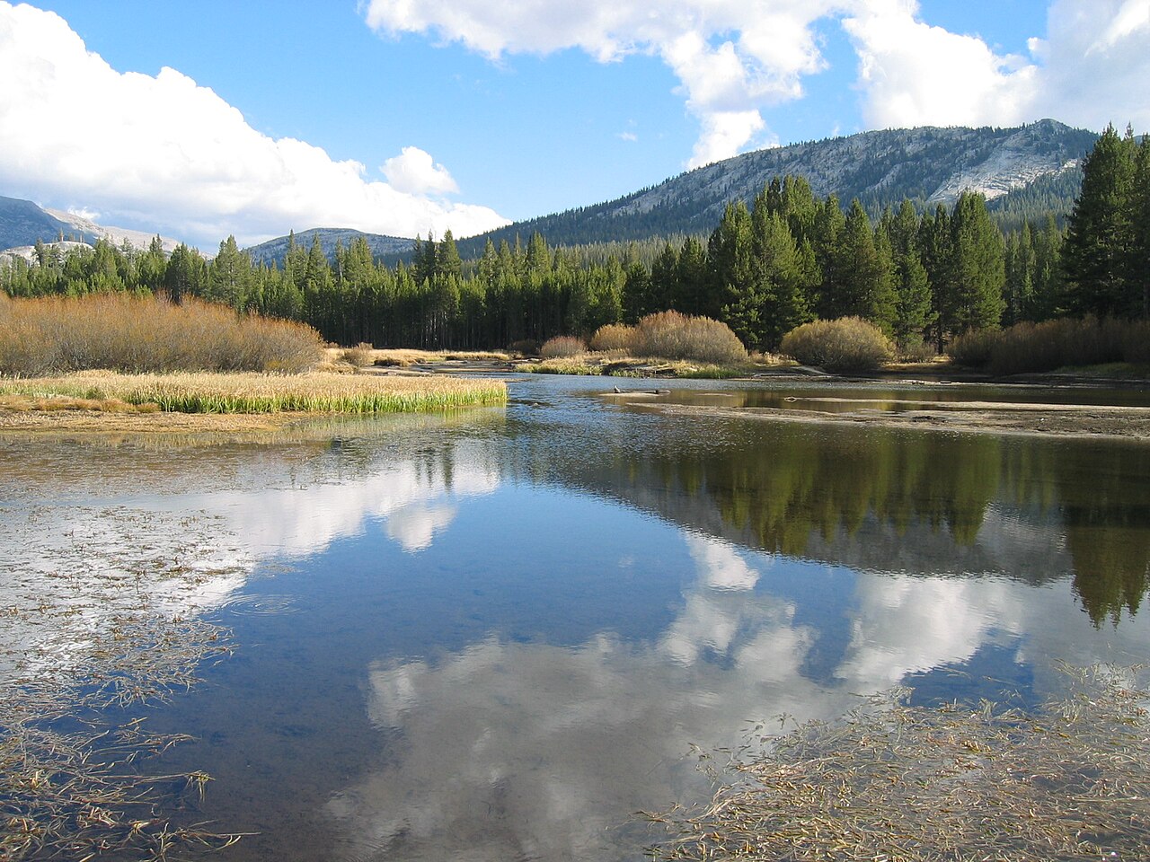
Gaylor Lakes is the high country's quick fix. The National Park Service describes the trail as short but steep: about 2.6 miles round trip with roughly 500 feet of gain. It starts near the Tioga Pass entrance on the east side of the park, at an elevation above 9,900 feet, so most of the challenge comes from the thin air rather than the distance. The path climbs a steep initial slope, crests a pass, then drops to Middle and Lower Gaylor Lakes, with the option of continuing to Upper Gaylor Lake and the stone ruins of a mining-era cabin. From the crest, the views stretch over Tuolumne Meadows, Mount Dana and the peaks along the Sierra crest, and the area is carpeted with wildflowers in July. Because it is near the road's high point, it is one of the first trails to be snow-covered and the last to melt, and early-season visitors may find the route buried. Afternoon thunderstorms are common and the open terrain offers no shelter, so a morning start is wise. The entrance station also sits only a short drive above Lee Vining, which makes this one of the easiest ways to sample Yosemite's high country from the eastern side. Note that Tioga Road usually opens in late May or June and closes in October or November, depending on conditions.
Why it is worth doing. It is rare to find alpine lakes within an hour's walk of a paved road. Gaylor Lakes combines a modest distance with a feeling of being far from everything, and the contrast between the sparkling lakes, the old stone cabin and the surrounding peaks gives it a stronger sense of place than many longer trails.
Doing it well. Acclimatize before you go, especially if you are coming from sea level. Drink water, walk slowly and turn back if you develop a headache or nausea. Carry layers because the wind at the pass is strong, and bring sunscreen and sunglasses because the sun at this elevation is intense. Stay out of the old mining structures, which are fragile and unstable.
Who it suits. Anyone who wants a short high-country hike, including families with older children, photographers and visitors with limited time. Combine it with a stop at Tuolumne Meadows, lunch in Lee Vining and a visit to Mono Lake on the way down.
What to expect
The experience
A short, steep trail of about 2.6 miles round trip with roughly 500 feet of gain from the Tioga Pass entrance to a series of alpine lakes.
Best time
Mid July to September, for wildflowers and snow-free trail.
How long
One and a half to three hours.
Tips
Acclimatize, start in the morning to avoid storms, carry layers for wind and stay out of unstable mining ruins.
Quick picks
- Best for
- Visitors who want alpine lakes in a short outing.
- Families
- Good for sturdy older children, with breaks for the altitude.
- Couples
- A quiet, scenic escape near the pass.
- Pair with
- A drive down to Lee Vining and Mono Lake.
- Time needed
- Two to three hours.
Good questions
How long is the Gaylor Lakes trail?+
The National Park Service describes it as short but steep, about 2.6 miles round trip with roughly 500 feet of gain.
Where does it start?+
Near the Tioga Pass entrance on the east side of the park, close to the top of Tioga Road.
When is it snow-free?+
Usually mid summer to early autumn. It is one of the first trails to be snow-covered and one of the last to melt.
Is altitude a problem?+
It can be. The trail starts above 9,900 feet, so walk slowly, drink water and descend if you feel unwell.
What will I see?+
A chain of alpine lakes, wildflowers in July, big views of the Sierra crest and the ruins of an old mining cabin.