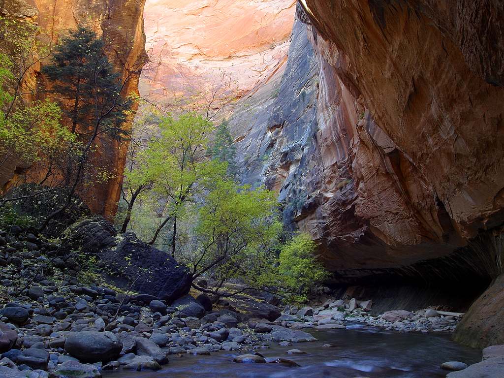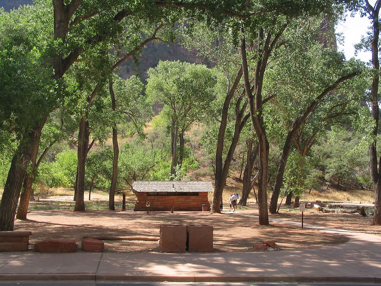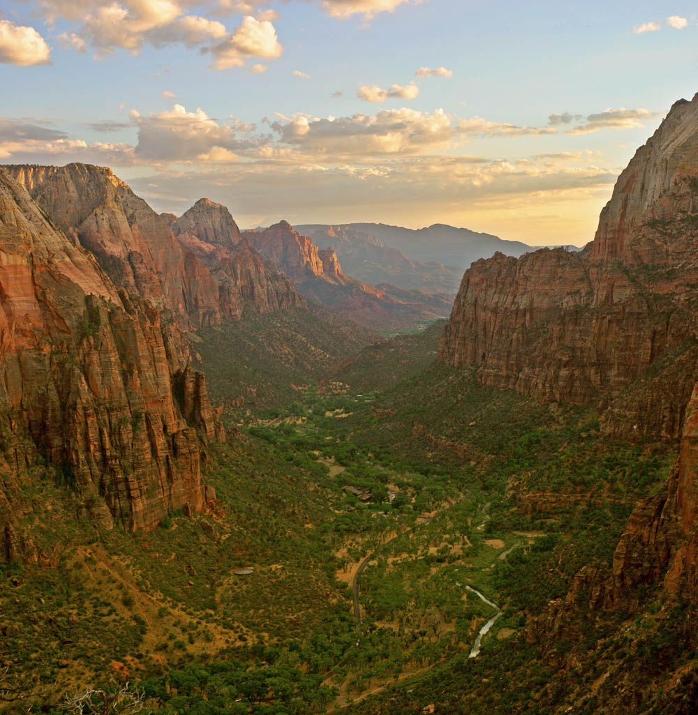
Grand Staircase-Escalante National Monument is one of the largest and wildest protected landscapes in the lower 48 states, a vast plateau country of slickrock, canyons and badlands stretching east and south of Bryce Canyon, managed by the Bureau of Land Management. Much of it requires high-clearance vehicles, long dirt roads and serious backcountry skills, but one hike delivers its magic to almost anyone: Lower Calf Creek Falls. The trail starts at the Calf Creek Recreation Area, 15 miles east of the town of Escalante on Scenic Byway 12, in a deep canyon where a perennial creek supports cottonwoods, willows and beaver ponds beneath towering walls streaked with desert varnish. The round trip is 6 miles, mostly gentle but with long stretches of soft sand that make it more tiring than the elevation profile suggests. Along the way, look across the canyon for ancient granaries tucked into alcoves and for red pictographs of large human figures on the cliff — reminders of the Fremont people who farmed this canyon centuries ago. The trail ends at the lower falls, a 126-foot ribbon of water pouring down a mossy, golden wall into a clear, cold pool, a startling oasis in the desert. A $5 day-use fee per vehicle is collected at the recreation area, which also has a small campground. Bring plenty of water, sun protection and shoes you do not mind filling with sand. The BLM has warned visitors about falling rocks at the falls; stay back from the base of the cliffs and do not linger directly beneath the waterfall.
The monument itself is worth understanding. Designated in 1996, it takes its name from the Grand Staircase, a sequence of cliffs and plateaus that climbs northward from the Grand Canyon through the Vermilion, White, Gray and Pink Cliffs — the last of which form the rim of Bryce Canyon — and from the Escalante River canyons, among the last areas of the continental United States to be mapped. Its boundaries have been contested in national politics, but it remains a monument and a place of extraordinary geology, paleontology and archaeology. The interagency visitor center in Escalante is the best place to get maps, road conditions and permits.
Hike Lower Calf Creek Falls in the cool part of the day. In summer the canyon is hot and the sand radiates heat, so start early and carry at least a couple of liters of water per person; in spring and fall the hike is delightful. Winter visits are possible, though the falls area is shaded and icy, and the creek is very cold. Swimming in the pool is a summer tradition for many hikers, but the water is frigid even then and falling rocks are a real hazard near the base of the cliff. Pick up the interpretive brochure at the trailhead, which points out the rock art and granaries along the way. Parking is limited, and the lot often fills by mid-morning in peak season.
Calf Creek is the centerpiece of one of the great drives in America. Scenic Byway 12 from Bryce Canyon to Escalante and on to Boulder crosses some of the most spectacular terrain in the West, including the Hogsback, a narrow ridge with steep drop-offs on both sides. Combine the hike with Kodachrome Basin, Escalante's small-town cafés and outfitters, and the backroads of the monument if you have a suitable vehicle. From Bryce Canyon, the trailhead is roughly an hour and a half east, making it a full but rewarding day trip, or a stop on the way to Capitol Reef.
What to expect
The experience
A 6-mile round-trip, mostly level but sandy hike up a lush canyon past Fremont rock art and granaries to a 126-foot waterfall; $5 day-use fee per vehicle at the Calf Creek Recreation Area.
Best time
Spring and fall; early morning in summer to beat heat and the parking crunch.
How long
Three to four hours including time at the falls.
Tips
Carry plenty of water and sun protection. Expect soft sand. Stay back from the cliff base because of rockfall. Parking fills by mid-morning in peak season. Get road updates at the Escalante visitor center.
Quick picks
- Best for
- Road-trippers who want the best single hike in Grand Staircase-Escalante.
- Families
- Fine for active kids eight and up who can handle six sandy miles and the heat.
- Couples
- An early start, a picnic at the falls, and the Hogsback drive afterwards.
- Pair with
- Kodachrome Basin and the drive along Scenic Byway 12 from Bryce.
- Time needed
- A half-day, or a full day from Bryce including the drive.
Good questions
How long is the Lower Calf Creek Falls hike?+
It is 6 miles round trip, mostly gentle but with long sandy stretches. Most people take three to four hours including time at the falls.
Is there a fee?+
Yes, a $5 day-use fee per vehicle at the Calf Creek Recreation Area, 15 miles east of Escalante on Highway 12.
How tall is the waterfall?+
The lower falls drop 126 feet into a cold, clear pool surrounded by moss and golden rock.
Can you swim at the falls?+
Many hikers wade or swim in summer, but the water is very cold and the BLM warns of falling rocks near the base of the cliff. Stay out from directly beneath the falls.
How far is it from Bryce Canyon?+
Roughly an hour and a half east along Scenic Byway 12, via Tropic, Cannonville and Escalante.