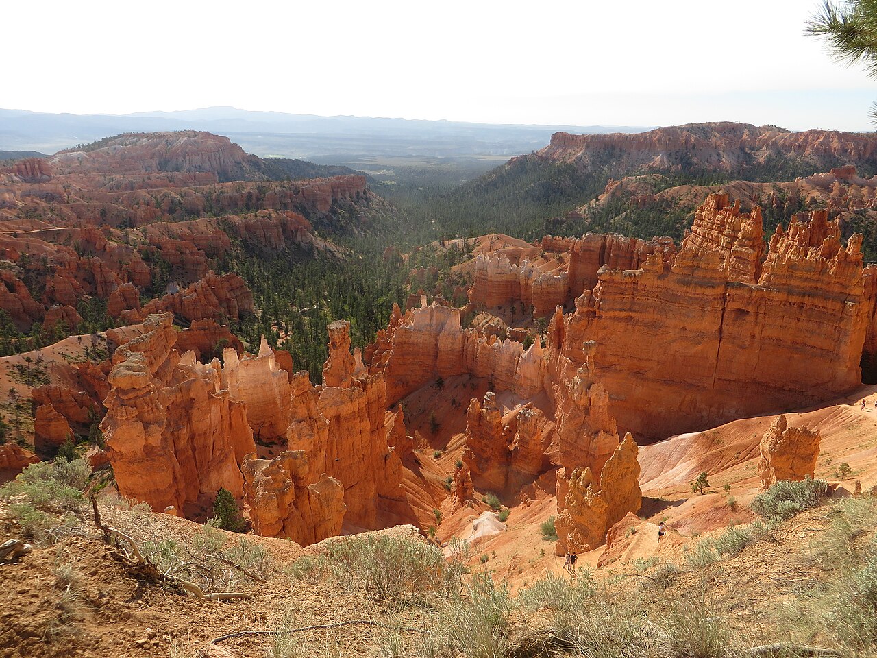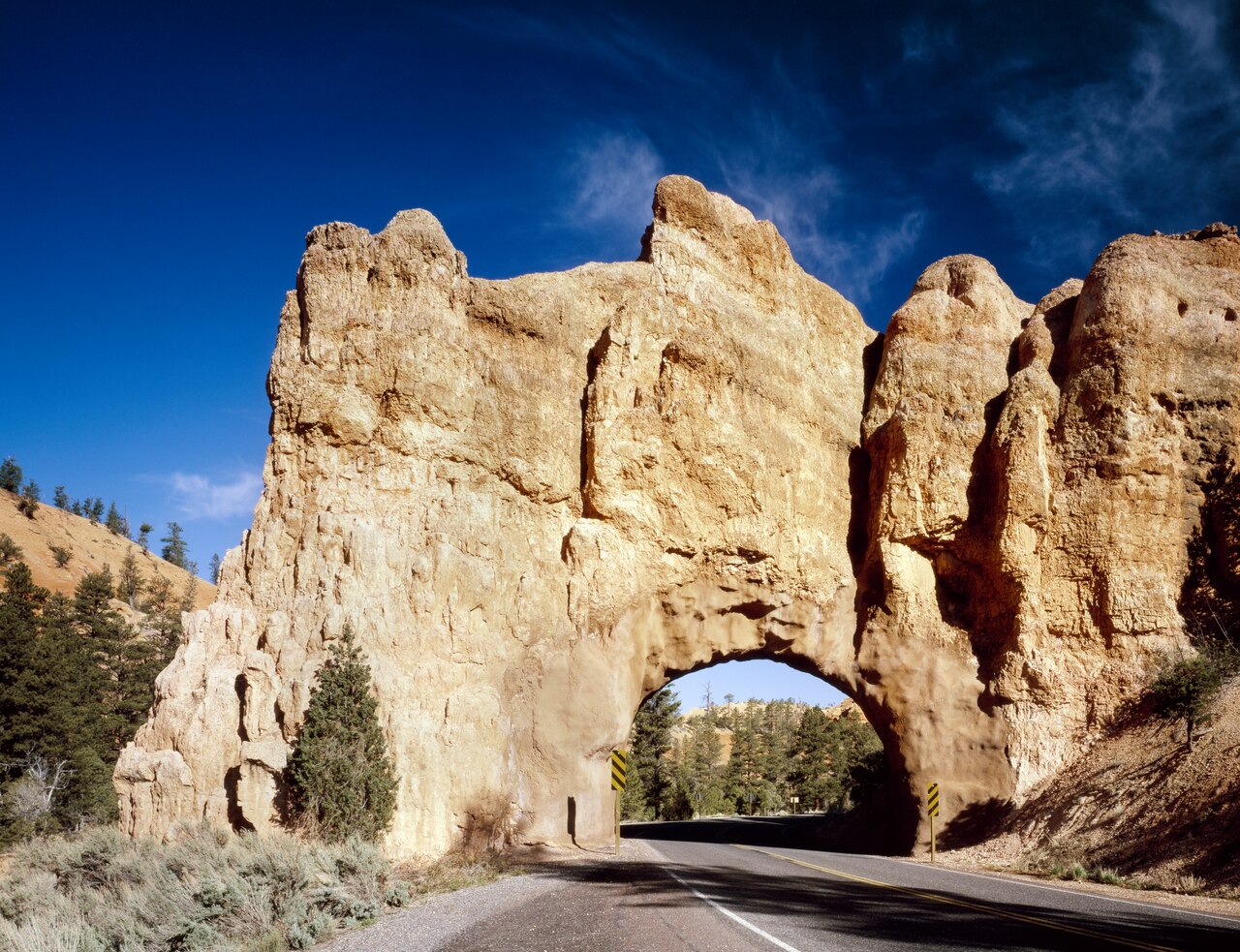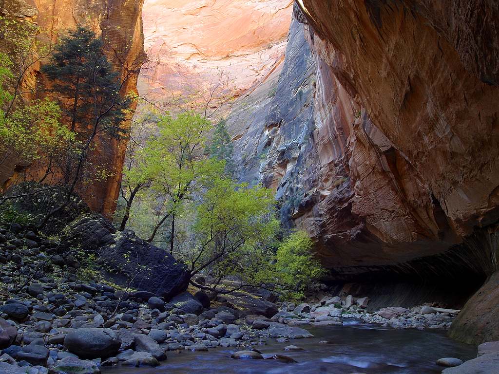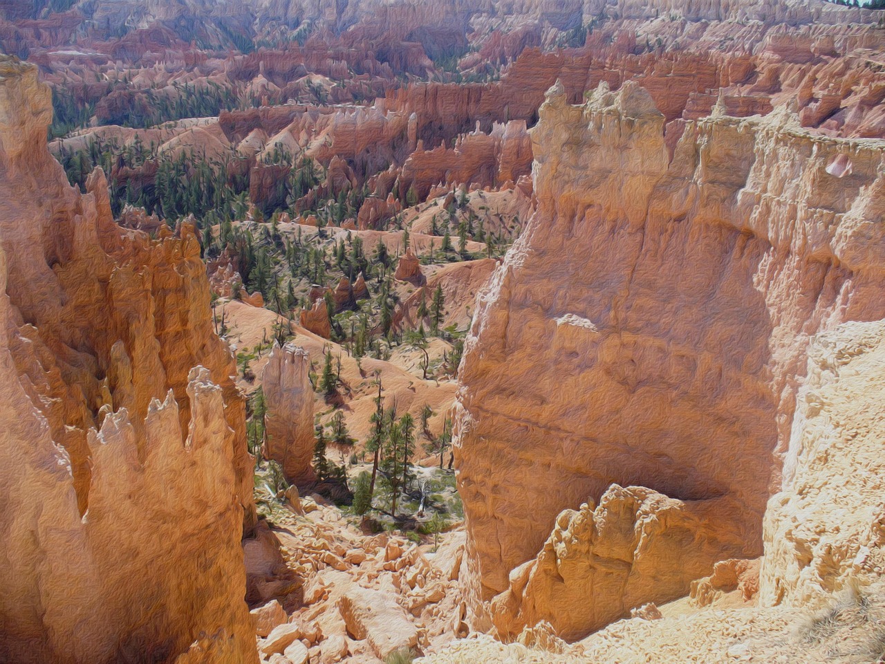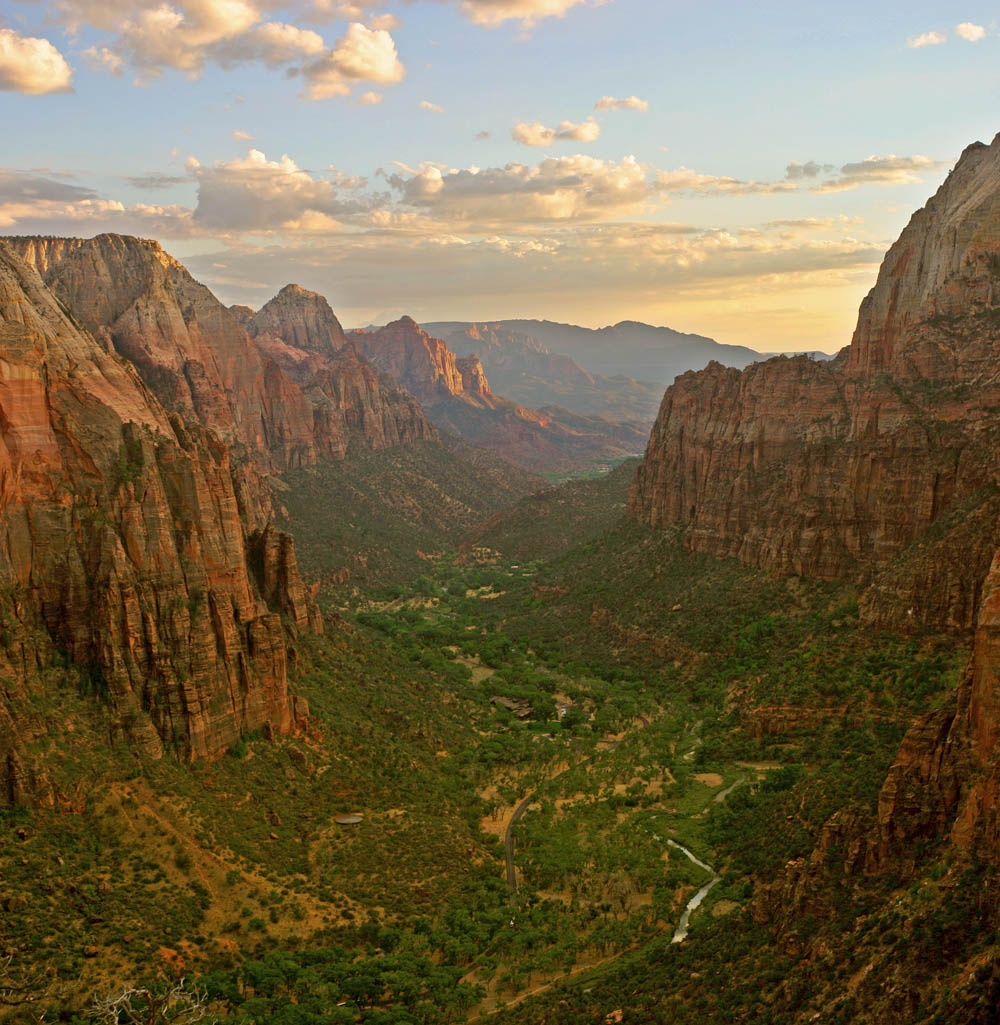
Kodachrome Basin is the best-kept secret on the Bryce side of the region, a compact state park whose name, borrowed from the famous color film, is no exaggeration. It sits about nine miles south of Cannonville off Scenic Byway 12, reached by the paved stretch of Cottonwood Canyon Road, roughly half an hour from Bryce Canyon, and it is surrounded on three sides by Grand Staircase-Escalante National Monument. The park's signature features are its sand pipes: white, chimney-like spires that average 30 to 50 feet tall, standing in front of banded cliffs of red, pink and cream sandstone. Geologists think they formed when sediment-filled springs or geysers hardened and the softer rock around them eroded away, leaving the pipes standing like monuments. The best way to see them is the Panorama Trail, a nearly level loop of about three miles with side spurs to viewpoints and formations, which can be extended to more than five miles; it is open to hikers and mountain bikers. Shorter trails lead to the slot of Angel's Palace and to a small arch, and guided horseback rides are offered by a local outfitter in season. The park opened to the public as a state park in 1963 and sits at about 5,800 feet, lower and warmer than Bryce. A 26-unit campground near the Panorama trailhead makes it a peaceful overnight base. A small day-use fee is paid at the visitor center. The best months are April through early June and September through October; summer brings heat and thunderstorms with flash floods, and winter can bring snow.
Part of Kodachrome's appeal is how it feels compared with the big parks nearby. There are no crowds to speak of, the trails are gentle, and the formations are close enough to touch — though climbing on them is not allowed. Families find it ideal: the Panorama Trail is flat, the side spurs are short adventures, and the campground has room to spread out. Photographers come for the color, which is at its most intense in early morning and late afternoon, when the cliffs glow against a deep blue sky. The night sky is superb too, dark and quiet, and the campground is a good place to watch the stars.
Plan to spend half a day. Start at the visitor center, which recommends you enter its name rather than the campground into your map app, then walk the Panorama Trail with its spurs to Cool Cave and Secret Passage, and finish with a short walk to Angel's Palace for views over the basin. If you have time, continue south on Cottonwood Canyon Road to Grosvenor Arch, a striking double arch about 10 miles away — but note that the road becomes unpaved beyond the park and can be impassable after rain, so check conditions first and do not attempt it in a low-clearance car when it is wet.
Kodachrome is an easy add-on to a Bryce Canyon trip. From Bryce, follow Scenic Byway 12 east through the town of Tropic, where you can stock up on supplies and find good restaurants, to Cannonville, then turn south. Combine it with a morning on the Bryce Rim Trail and an evening in Tropic, or continue east along Byway 12 to Escalante and Lower Calf Creek Falls for a longer road trip through some of the most beautiful country in the American Southwest.
What to expect
The experience
A small state park of colorful cliffs and white sand pipes with a nearly level, roughly three-mile Panorama loop, short side trails, horseback rides and a 26-unit campground; small day-use fee.
Best time
April to early June and September to October; early morning and late afternoon for color.
How long
Two to four hours for the Panorama Trail and a short side hike.
Tips
Navigate to the visitor center, not the campground. Carry water — it is hot in summer. Do not climb on the formations. Cottonwood Canyon Road is unpaved beyond the park and impassable when wet.
Quick picks
- Best for
- Road-trippers who want color, quiet and easy walking near Bryce.
- Families
- Ideal — flat trails, short adventures, a campground with space and a night sky full of stars.
- Couples
- A late-afternoon walk on the Panorama Trail, then dinner in Tropic.
- Pair with
- Bryce Canyon's Rim Trail in the morning and Lower Calf Creek Falls further along Byway 12.
- Time needed
- A half-day.
Good questions
How far is Kodachrome Basin from Bryce Canyon?+
About 30 minutes. Drive east on Scenic Byway 12 through Tropic to Cannonville, then south about nine miles on paved Cottonwood Canyon Road.
What are the sand pipes?+
White, chimney-like spires averaging 30 to 50 feet tall. Geologists believe they formed from hardened sediment in ancient springs or geysers, left standing as the softer rock around them eroded.
What is the best hike?+
The Panorama Trail, a nearly level loop of about three miles with side spurs to viewpoints and formations, extendable to more than five miles.
Is there a fee?+
Yes, a small day-use fee paid at the visitor center. Camping is extra and reservations are recommended in spring and fall.
Can I drive to Grosvenor Arch?+
Yes, about 10 miles beyond the park, but the road becomes unpaved and can be impassable after rain. Check conditions and avoid it in a low-clearance car when wet.