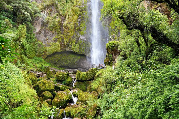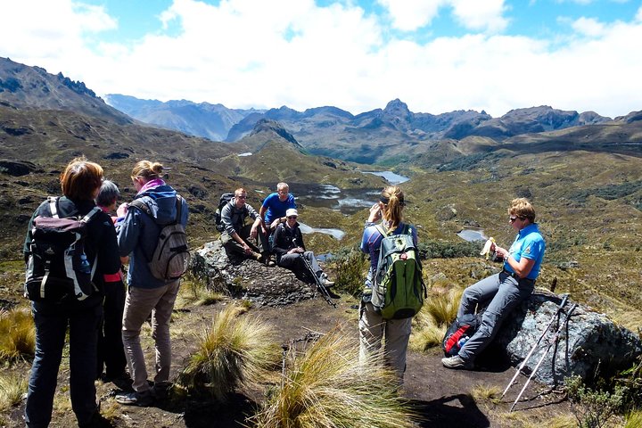
Cajas National Park is the wild half of a Cuenca visit: a high Andean plateau west of the city where the road climbs past 4,000 meters and the landscape turns to tussock grass, mirror-still lakes and stunted forests of paper-barked polylepis trees. The park holds hundreds of glacial lakes, many of them unnamed, scattered across a rolling moorland that the Andean paramo does better than anywhere else in Ecuador. Cloud rolls over the ridges in minutes, rain and sun alternate within the hour, and the light on the water is the reason photographers keep coming back. Most visitors reach Cajas on a guided half-day or full-day trip from Cuenca, which handles the winding mountain road, the cold, and the choice of trail. Short walks around Laguna Toreadora near the visitor area suit almost everyone; longer routes climb to viewpoints or drop into the quiet cloud-forest valleys on the Pacific side. The air is thin, so the pace is gentle and the rewards are quiet ones: a hummingbird working the flowers, a flash of a Carunculated Caracara, the smell of wet earth and Andean herbs.
The park sits roughly 30 kilometers west of Cuenca along the road toward Guayaquil, and its altitude does most of the work. Cuenca itself sits around 2,500 meters, so the climb to 3,800 and 4,000 meters is noticeable. Walk slowly, drink water, and expect cooler and wetter conditions than in town even on a bright morning. Layers, a waterproof jacket, a hat and sturdy shoes matter more here than almost anywhere else in the region.
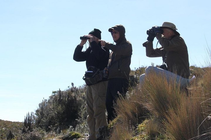
Lakes are the headline, but the details reward attention: cushion plants that look like green velvet, tiny gentians, orchids tucked in the rocks, and trout in the cold water that anglers come for. Birdwatchers look for the Andean condor on lucky days, along with hummingbirds, tit-tyrants and ducks on the larger lakes.
Choosing a tour is mostly about time and effort. Half-day trips leave in the morning, visit the Toreadora area, and are back for lunch, a good option if you are still adjusting to the altitude. Full-day trips add longer hikes, a second area such as Llaviucu, and a proper lunch. Small-group departures keep the pace flexible, while private tours let you set the route and the stops.
Many itineraries pair the park with the colonial center or with a short thermal bath stop on the way down, which makes a cold day feel generous. Whichever you pick, start early, because cloud tends to build by afternoon and the clearest views come before noon.
Plan the season too. The drier months, roughly June to September, give more sunshine and firmer trails, while the wetter months bring dramatic skies, fog and mud. Cajas can feel bleak and magnificent in the same hour, and that mood is part of its draw. Travelers with heart or respiratory concerns should check with a doctor before heading above 4,000 meters, and everyone should respect marked trails, since the paramo recovers slowly from footsteps.
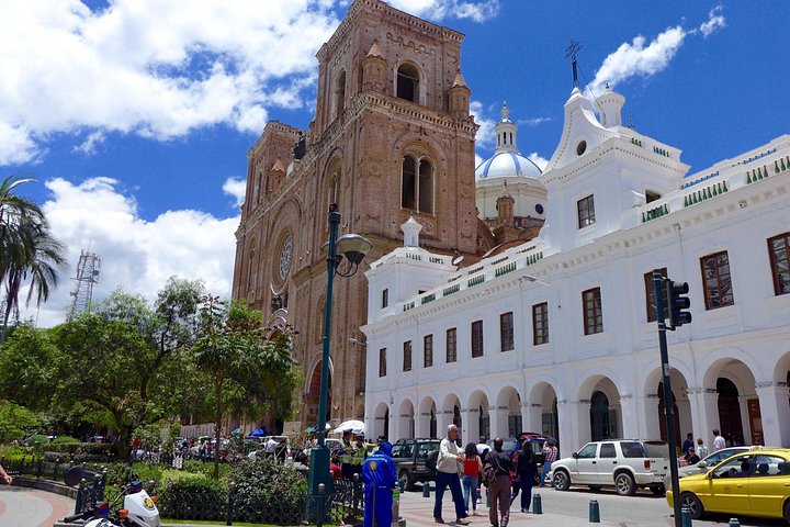
Allow a half day at minimum, ideally a full one, and treat it as the counterweight to Cuenca's architecture: after days among churches and cobbles, an afternoon of silence among lakes resets the whole trip.
What to expect
The experience
A guided trip west of Cuenca into high Andean moorland, with short or long walks among lakes and polylepis forest.
Best time
Go in the morning for the clearest views. June to September is driest; other months bring fog, rain and moody light.
How long
Four hours for a half-day trip, six to eight for a full day.
Tips
Bring a waterproof layer, warm hat, gloves and sturdy shoes. Walk slowly at altitude and carry water and a snack.
Quick picks
- Best for
- Anyone who wants Andean scenery without a multi-day trek.
- Families
- Easy short walks near the main lake suit kids who are comfortable with cold and thin air.
- Couples
- Misty lakes, quiet trails and a warm meal on the way back make an easy shared day.
- Pair with
- A morning at Cajas and an evening stroll on Calle Larga make a balanced day.
- Time needed
- Half a day at minimum, a full day to do it justice.
Good questions
How high is Cajas National Park?+
Trails run from roughly 3,100 meters to over 4,400 meters, so most visitors feel the altitude. Go slowly, drink water and stay warm.
How far is it from Cuenca?+
About 30 kilometers west, usually 40 to 60 minutes by road depending on stops. Tours handle transport and timing.
What should I wear?+
Layers, a waterproof jacket, a hat, gloves and sturdy shoes. Weather turns fast, and it is always cooler than in town.
Is it good for families?+
Yes, on short flat trails. Pick a half-day tour, keep the pace easy and bring warm clothing for children.
Can I visit without a tour?+
Yes, by hired car or a bus toward Guayaquil, but a guided trip removes the logistics and adds trail knowledge and safety on changing weather.