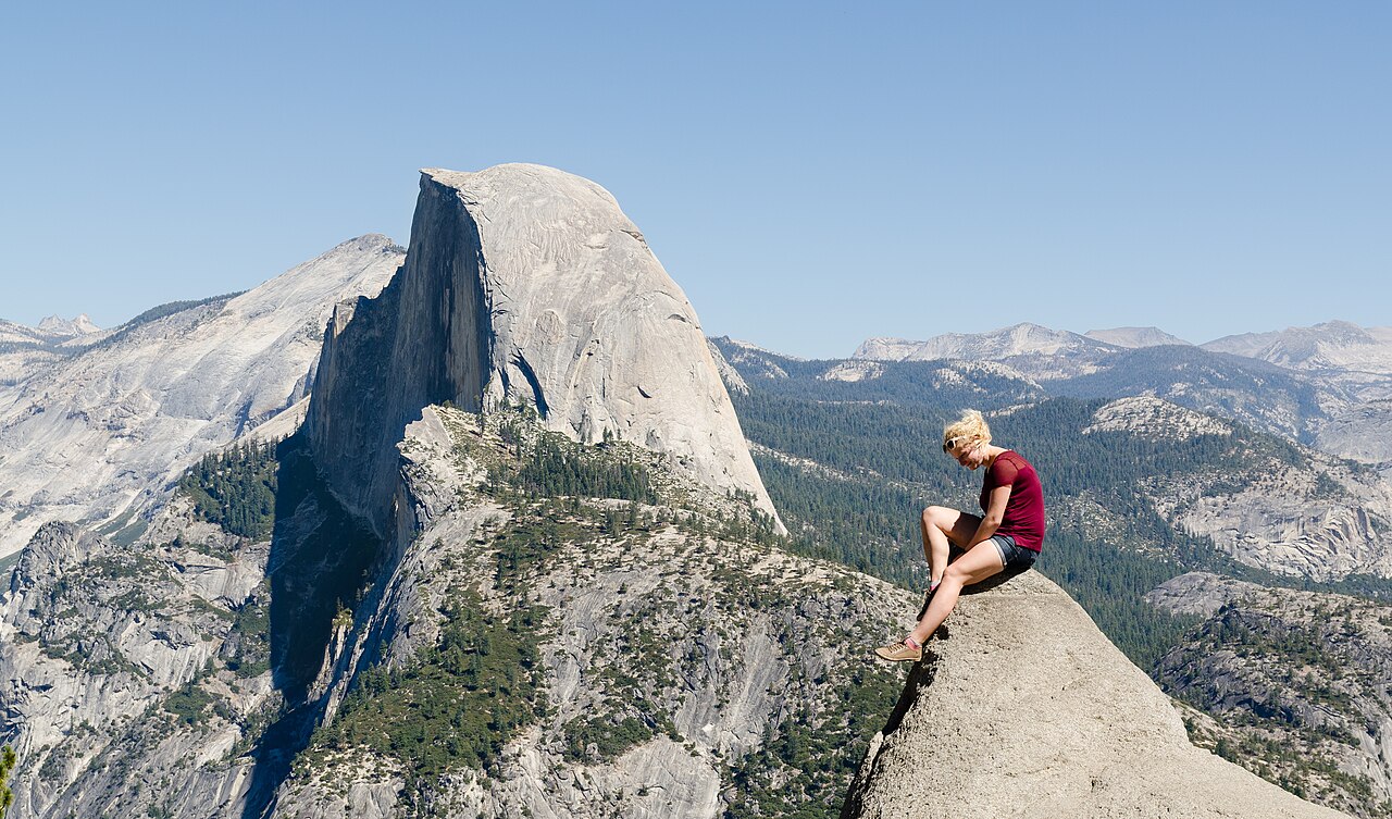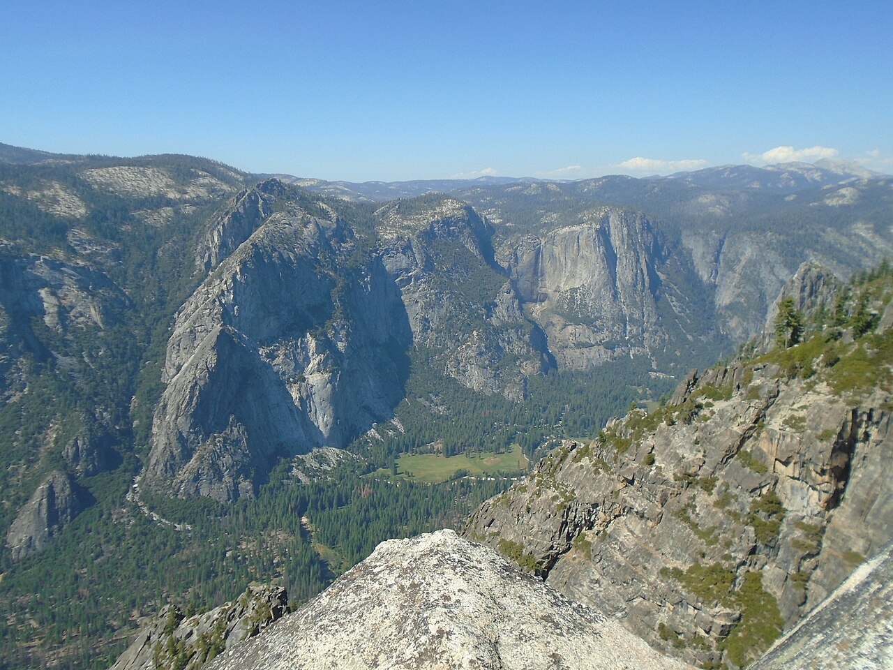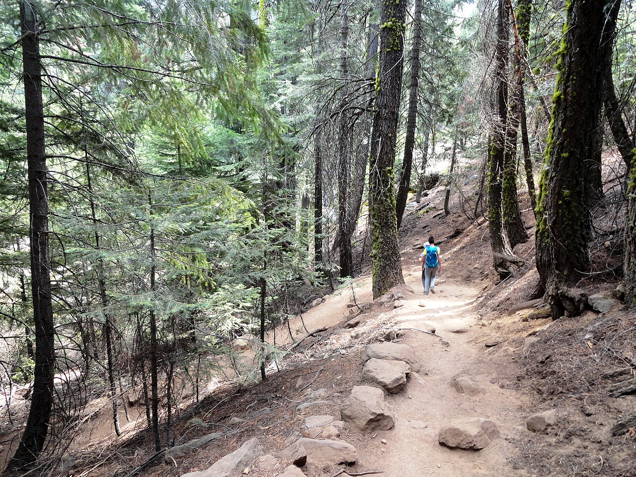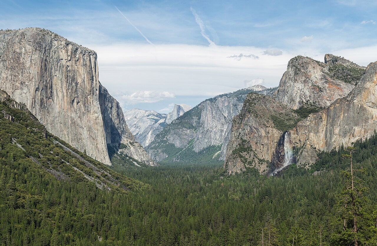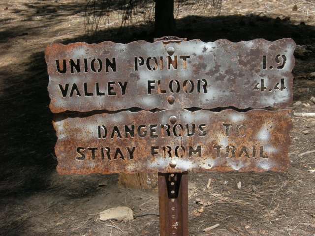
The Four Mile Trail links Yosemite Valley with Glacier Point, and despite its name it is a good deal longer than four miles: the National Park Service gives 4.8 miles one way, with about 3,200 feet of elevation change, and describes the descent as very steep. Allow three to four hours going down and noticeably more coming up. The trail climbs the south wall of the valley in a long series of switchbacks, passing below Sentinel Rock and rising through oak, pine and fir while the views keep improving: Yosemite Falls across the valley, El Capitan, the Three Brothers and, at the top, Half Dome face-on. Many hikers prefer to take the road to Glacier Point and walk down, because the descent is easier on the lungs and the finish in the valley is a short shuttle ride from your lodging. The catch is logistics. There is no shuttle between the valley and Glacier Point, so a one-way plan needs a car shuttle, a drop-off, or a seasonal concessioner bus, and you should check whether one is running. Glacier Point Road is usually open from May to November depending on conditions, and the top of the trail is not reachable when the road is closed, though the lower sections can still be walked from the valley when they are free of snow and ice. In early spring and late autumn expect snow, ice and wet patches, particularly in the upper switchbacks, and carry traction devices if the forecast calls for it.
Why choose it. Most Yosemite hikes show you either the valley from below or the high country from above. The Four Mile Trail shows you the transition. You start among the big conifers at the base, watch the cliffs shrink the people and meadows beneath you, and arrive at the rim at one of the park's grandest viewpoints. It is shorter than the Panorama Trail and less crowded than the Upper Yosemite Fall climb, and the steady gradient suits hikers who want a serious workout without scrambling or exposure.
Planning it well. Carry more water than you think you need, since the south-facing slope can be hot in summer, and start early to keep the climb in the shade. If you walk up, leave extra time for the top, where the Glacier Point area offers a viewpoint and a snack stand in season.
If you walk down, check the last departure of any return arrangements and the sunset time, and bring a headlamp as a precaution. Trekking poles help on the downhill, and good boots matter more than usual because of the 3,200 feet of descent.
Who it suits. Fit hikers who want a half-day challenge with unforgettable views, and photographers who like to work with changing light as they descend. Families with older children can manage it downhill. Pair it with a visit to Glacier Point's viewpoint, a picnic in Cook's Meadow afterwards, or the Panorama Trail the next day for a different approach to the same rim.
What to expect
The experience
A 4.8 mile switchbacking trail between the valley floor and Glacier Point, about 3,200 feet of elevation change, usually walked downhill.
Best time
Late spring through autumn when Glacier Point Road is open; start early in summer heat.
How long
Three to four hours downhill, longer uphill.
Tips
There is no valley-to-Glacier Point shuttle, so arrange the return in advance, carry plenty of water, and bring traction devices in shoulder seasons.
Quick picks
- Best for
- Fit hikers who want valley-to-rim views without scrambling.
- Families
- Possible downhill for older children; the length and steepness are too much for little ones.
- Couples
- A scenic half-day challenge with a rewarding rim finish.
- Pair with
- Glacier Point's viewpoint, then a relaxed dinner back in the valley.
- Time needed
- Half a day.
Good questions
How long is the Four Mile Trail?+
The National Park Service gives 4.8 miles one way, with about 3,200 feet of elevation change, and describes the descent as very steep.
Is there a shuttle back from Glacier Point?+
No. There is no shuttle between the valley and Glacier Point, so plan a car shuttle, a drop-off or any seasonal bus service before you set out.
Should I hike up or down?+
Most hikers go down because the descent is easier on the lungs, but the climb up gives a more gradual reveal of the views. Both are demanding.
When is the trail open?+
The lower trail can be walked when it is free of snow and ice, but the top relies on Glacier Point Road, which is usually open from May to November.
Is the Four Mile Trail good for photography?+
Yes. Yosemite Falls, El Capitan and Half Dome appear from changing angles, and early light on the valley walls is the best bet.