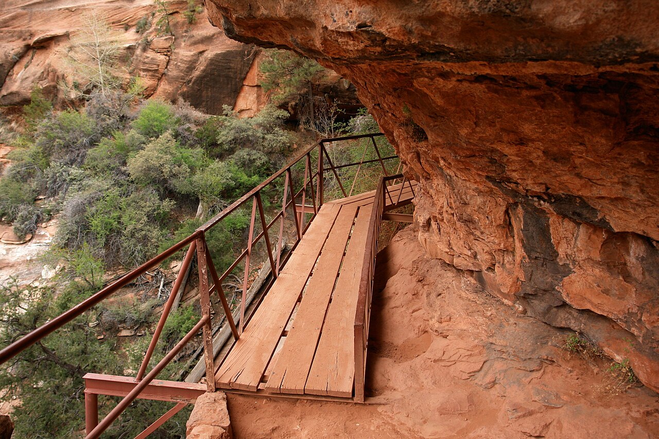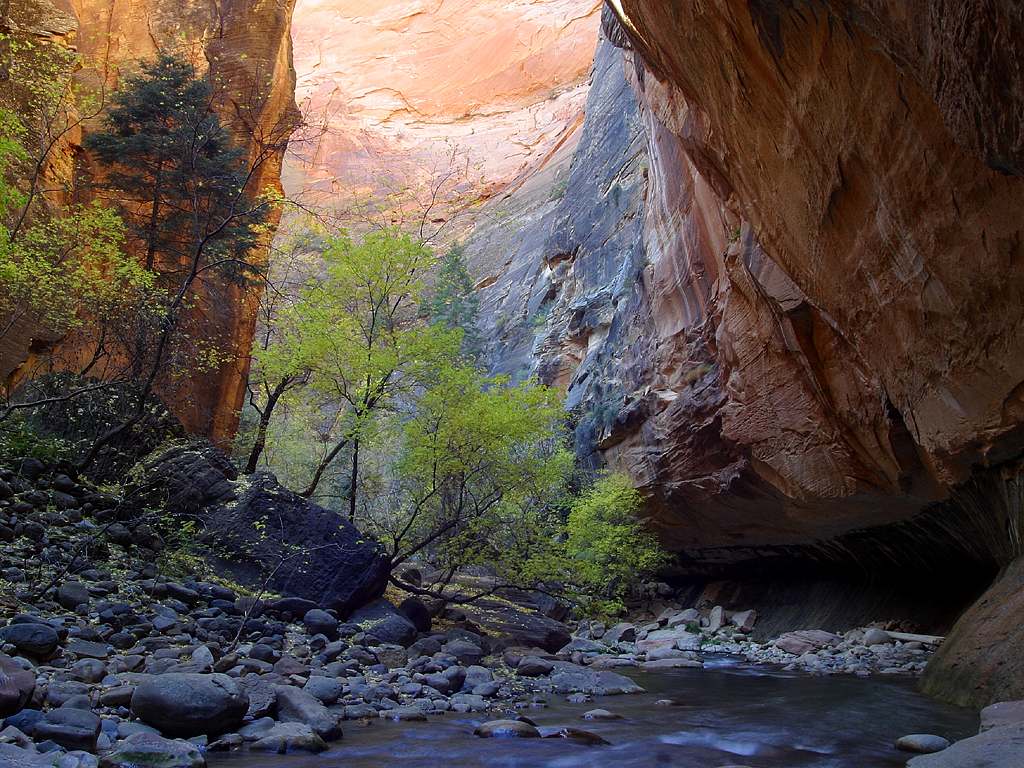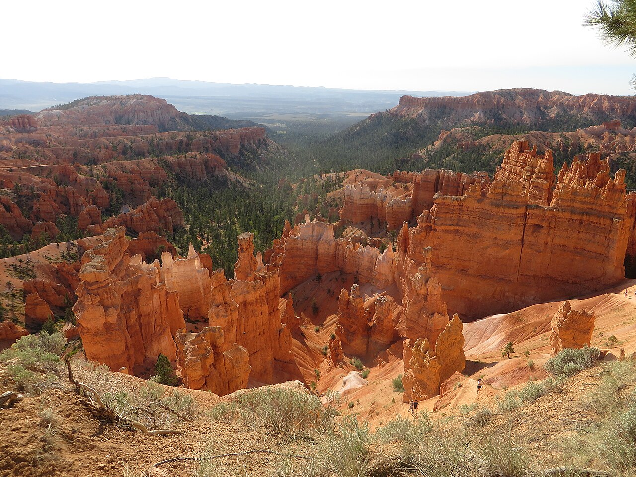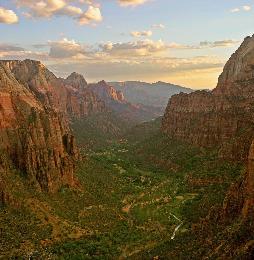
Observation Point is a viewpoint many Zion regulars rank among the park's very best, and the East Mesa route is the gentlest way to reach it. Instead of climbing the canyon wall from the valley floor, you start on the high plateau east of the park and walk across it, so the whole outing is a rolling stroll through ponderosa pine and pinyon-juniper woodland with only a few hundred feet of elevation change. The National Park Service describes the trail as 6.8 miles round trip, about 3 hours, with roughly 300 feet of elevation change. The route runs through forest with brief glimpses into side canyons, then joins the East Rim Trail and continues another 0.4 miles to the point itself. When the trees fall away, you are standing on a sandstone rim far above the canyon floor, looking straight down at Angels Landing and the Virgin River, with the Great White Throne and the Temple of Sinawava across the gap. It is a very different feeling from the crowded chains route, and many visitors find the quiet and the scale more memorable. The catch is the road. The East Mesa Trailhead is reached only by dirt roads off North Fork Road, and the park service says they require high clearance or four-wheel drive and can be extremely muddy and impassable in winter, in spring and after rainstorms. A rental sedan is the wrong tool for the job. Check the park's current conditions page before you commit to the drive, park only in the designated spaces and avoid the private property nearby. The trail that formerly climbed up from Weeping Rock in the main canyon no longer connects to the valley because of major rockfall, so the east approach is the way to Observation Point at present.
Why take the east route. The traditional Observation Point hike starts at the canyon floor and gains well over two thousand feet. The East Mesa version trades that climb for a drive, which makes the viewpoint realistic for hikers who would never attempt the big ascent: families with sturdy school-age children, older hikers and anyone traveling with limited time.
The distance is moderate, the grade is gentle, and there is very little exposure until the last stretch near the rim. Treat the final approach with care, keep children close to you, and stay well back from the edge, because the drop is enormous and there are no railings.
Seasons and conditions. Late spring through fall is the easiest window, once the mesa roads have dried. Summer mornings are comfortable under the trees, but the viewpoint itself has little shade, so carry plenty of water and start early. Winter and early spring can bring snow, ice and deep mud to the approach roads, and the trail can be cold and windy; if the road looks doubtful, turn around rather than risk getting stuck far from help, since mobile signal is unreliable.
Flash flood and lightning risk is lowest on the mesa itself, but afternoon thunderstorms in the monsoon season can still make the rim an unwise place to linger.
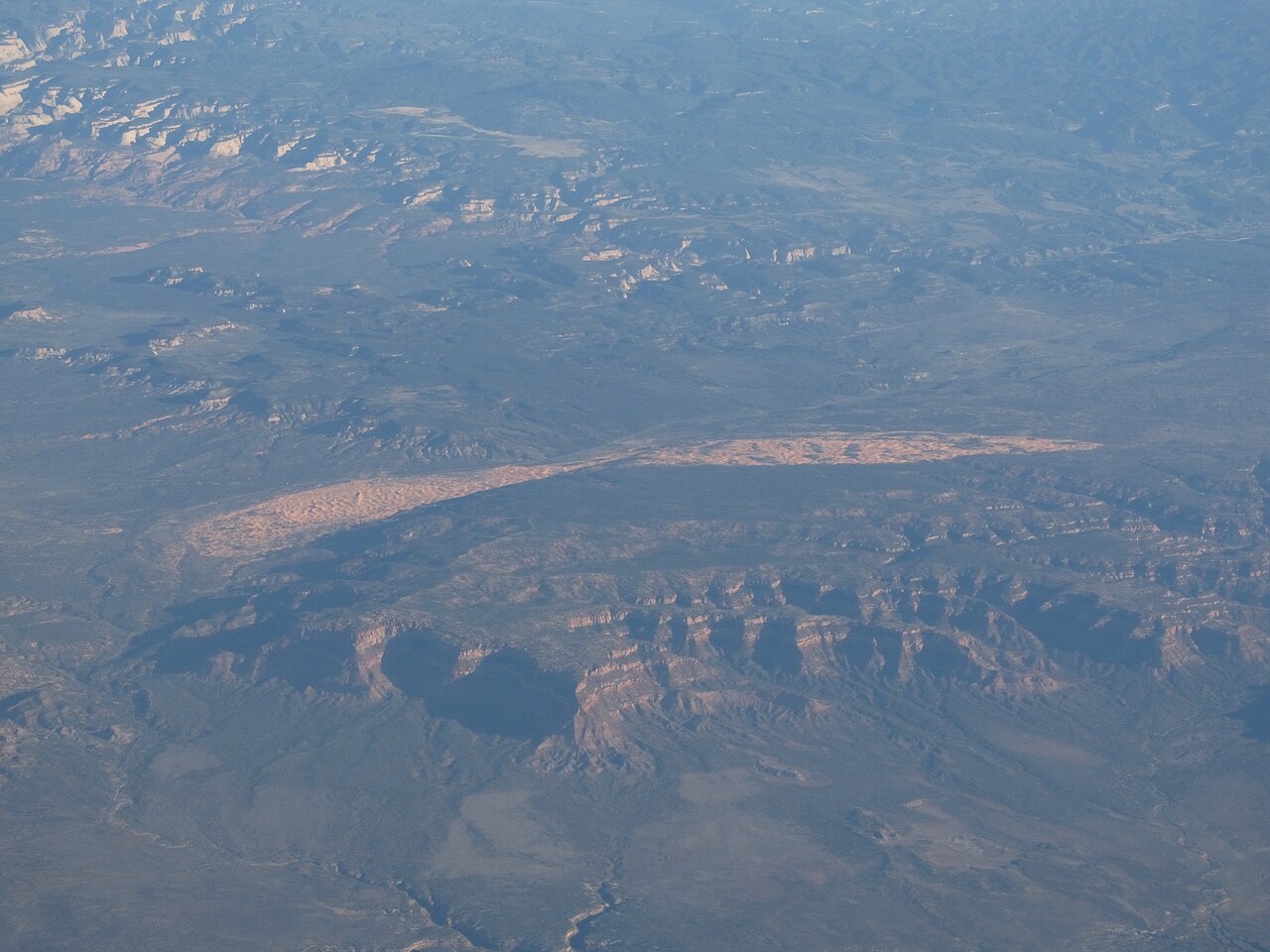
Making it a day. Because the trailhead is on the east side, the hike pairs naturally with a drive along the Zion-Mount Carmel Highway and a stop at the Canyon Overlook Trail, or a late-afternoon wander at Coral Pink Sand Dunes before a night in Kanab or Springdale. Bring a map or downloaded directions, a full tank of fuel, food, a hat and a light layer for the wind at the rim. Pack out everything you carry in, and leave the viewpoint as quiet as you found it.
What to expect
The experience
A 6.8-mile out-and-back hike from the East Mesa Trailhead across forested plateau, with about 300 feet of elevation change, ending at an exposed rim viewpoint above Zion Canyon.
Best time
Late spring through fall on a dry day, starting early; winter and spring mud can close the access road in practice.
How long
About three hours of walking, plus the drive on dirt roads to the trailhead.
Tips
Use a high-clearance or four-wheel-drive vehicle, check current road conditions first, carry water and a layer, and stay well back from the unrailed rim.
Quick picks
- Best for
- Hikers who want Zion's grandest overlook without the big climb from the canyon floor.
- Families
- Manageable for sturdy school-age kids, but the rim is unfenced and needs constant supervision.
- Couples
- A quiet forest walk ending in a view that rivals any in the park.
- Pair with
- Canyon Overlook Trail and the Zion-Mount Carmel Highway on the same drive.
- Time needed
- Half a day including the dirt-road drive.
Good questions
How long is the Observation Point hike from East Mesa?+
The park service lists it as 6.8 miles round trip, about 3 hours, with roughly 300 feet of elevation change. It joins the East Rim Trail and ends 0.4 miles further on.
Can I reach the East Mesa Trailhead in a regular car?+
Probably not. The access roads off North Fork Road need high clearance or four-wheel drive and can become extremely muddy and inaccessible in winter, spring and after rain.
Can I still hike Observation Point from the canyon floor?+
Not at present. The route from Weeping Rock no longer connects because of major rockfall, so the east approach is the way in.
Is the viewpoint dangerous?+
The rim is a very high, unrailed drop. Stay well back from the edge, supervise children closely and avoid the point in wind, storms or ice.
What is the best time of year?+
Late spring through fall after the roads have dried. Mornings are coolest; winter and early spring can mean snow, ice and impassable mud.